
Driving G315: The Qinghai-Xinjiang Highway from Golmud to Ruoqiang
The highway that connects two provinces and almost nothing else
Most people fly into Xinjiang and never see how the province is stitched to the rest of China by road. The eastern seam is G315, the Qinghai–Xinjiang Highway, and I drove it westbound one October from Golmud, in Qinghai, to Ruoqiang, in the southeast corner of Xinjiang. It took me two long days and covered roughly 1,240 km of the emptiest, most beautiful nothing I have ever pointed a car at.
If you are renting a car in Xinjiang and want to loop out and back, or if you are driving in from the east and want the dramatic entrance rather than a flight, G315 is the road. Here is what it actually feels like, and where the gotchas hide.
Golmud: the unexpected starting line
Golmud sits at 2,800 meters on the Tibetan plateau fringe, a sprawling, industrial, deeply unphotogenic city that happens to be the last real supply base before the desert. I filled the tank to full, bought four liters of water per person, and withdrew ¥3,000 in cash. There is no reason to linger in Golmud, but there is every reason to leave it fully provisioned.
The first 350 km run due west across the Qaidam basin, a salt-pan flatland where the road is dead straight and the only landmarks are occasional processing plants and distant mountain walls. Cruise control at 100 km/h, and you will cover ground fast. The boredom is the point; it lets you bank distance before the interesting part.
The Dachaidan and Mangnai turn
Around Dachaidan the landscape opens into a series of mirror lakes — seasonal salt flats that, in late autumn, are cracked white hexagons stretching to the horizon. I stopped at one unmarked pull-off and walked a hundred meters onto the crust; it rang underfoot like thin ice. This is also where G315 brushes some of the most surreal “internet famous” curves near Mangnai, where the road bends over a ridgeline and photographers line up at dawn.
Mangnai itself is a small town with fuel and a couple of noodle shops. Fuel here was ¥7.6 per liter for 92-octane when I passed, about ¥0.4 higher than Ürümqi, the usual remote-area premium. Our Xinjiang fuel price guide tracks these regional differences so you are not surprised at the pump.
Crossing into Xinjiang near Ruoqiang
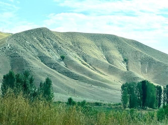
West of Mangnai the road enters the Kunlun mountains and then drops onto the southeastern Tarim basin rim. The final 300 km to Ruoqiang run through absolute desert — no towns, no signal, sometimes no other cars for an hour. This is where I appreciated having downloaded offline maps; our navigation and signal guide covers exactly this kind of dead zone.
Ruoqiang is the gateway to the Lop Nur region and the northern edge of the Altun Shan reserve. It is also the junction where G315 meets the roads north to Korla and west toward Hotan. From here you are properly in Xinjiang and can connect to the rest of the loop network.
Timing and weather reality
October was near-perfect: cool, clear, and empty. Summer brings 40°C heat on the basin floor and sudden afternoon thunderstorms in the mountains. Winter closes nothing officially but brings ice on the high passes and −20°C nights. I would not drive it November through March without winter tires and a real plan. Check the month-by-month picture in our Xinjiang weather by month guide before you pick a date.
What to carry and what it costs
Budget roughly ¥600–900 in fuel for the full Golmud–Ruoqiang run in a gasoline SUV, plus ¥250–400 per night for the one hotel you will want (I stayed in Mangnai). Food is cheap and limited: noodle shops, ¥15–30 a bowl; the occasional halal restaurant in the bigger towns. Carry cash — card readers work in Golmud and Ruoqiang but fail in between.
My kit for the crossing:
- 6 liters of water per person (the dry air is brutal).
- A 20-meter tow strap and a shovel — not for the highway, but for the inevitable detour onto a salt flat to take photos.
- A paper road atlas of Qinghai and Xinjiang. Phones die; paper does not.
- Windshield washer fluid rated to −30°C if traveling after October.
Pairing G315 with the rest of your trip
The smart play is to enter Xinjiang via G315, loop the south (Ruoqiang → Korla → Kuqa → Aksu → Kashgar, or down to Hotan), and fly out of Kashgar or Ürümqi. That gives you a genuine overland arrival without backtracking. The Kumtag desert near Turpan is a different flavor of emptiness if you want a second dose, and Turpan is the logical northern bookend to an eastern-loop trip.
G315 will not be the prettiest road you drive in Xinjiang. It will, however, be the one that makes you feel like you actually crossed a continent to get there. For a foreign traveler with a rental and a few days to spare, that feeling is worth every straight, empty kilometer.