
The South Xinjiang Circuit: A Self-Drive From Kashgar to Tashkurgan and the Taklamakan
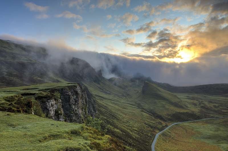
Last October I pointed a rented SUV south out of Kashgar and did not turn back toward Urumqi for eleven days. What hooked me was not one stop but the shape of the loop itself. From Kashgar the road forks, and the south of Xinjiang lets you take both forks. One branch climbs into the Pamir, past lakes the colour of smashed slate, to the stone houses of Tashkurgan a few kilometres from the Pakistani border. The other branch rolls east around the rim of the Tarim Basin and then straight through the middle of the Taklamakan, the largest shifting-sand desert on earth. String them together and you get a circuit most first-time visitors never attempt, because the distance looks absurd on a map. It is not absurd. It is about 2,100 kilometres of some of the most dramatic driving in Asia, and almost all of it is paved and quiet.
What the South Xinjiang Circuit actually covers
The word “south” here means the southern half of the region, and the circuit is really two halves joined at Kashgar. The western half is the Pamir leg: Kashgar to Upal to Baisha Lake to Karakul Lake to Tashkurgan, roughly 290 km on the G314, the highway that continues all the way to Islamabad. The eastern half is the desert leg. From Kashgar you run east on the G3012 expressway to Aksu, then north to Korla and Luntai, drop south on the Tarim Desert Highway to Minfeng, swing west through Hotan and back up the G3012 to Kashgar. That half is close to 1,800 km on its own.
Most people split it into two manageable chunks of five or six days each, with a rest day in Kashgar between them. If you only have a week, do the Pamir leg and skip the desert. If you have ten to twelve days, do both. I had eleven, and the desert half turned out to be the part I still think about.
Leg 1: Kashgar to Tashkurgan on the Pamir Highway
Leave Kashgar early. The G314 is in good condition but it climbs steadily, and you want daylight for the viewpoints. The first real pull-off is Oytag, about 120 km out, where a side road reaches a glacier and a cluster of yurts. Another 60 km brings you to Baisha Lake, a pale lake pinned between two ridges of scree that look dusted with flour.
Kashgar itself is the last real supply base, so treat the morning before you leave as packing time. Fill the tank, grab a stack of small-bills cash (the Pamir and the desert both run on paper money where card readers fail), and buy nan bread and fruit for the car. The old-town night market the evening before is worth the late night: lamb skewers, laghman noodles pulled to order, and rounds of flatbread straight off the dome. A China SIM with data is useful in the city and useless on the Pamir, so download offline maps of the G314 and the desert highway before you sleep.
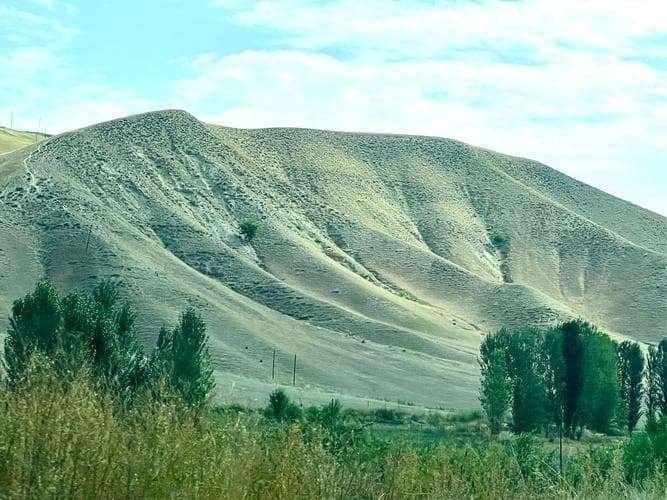
Then comes the stretch people drive the whole route for. Karakul Lake sits at 3,600 metres, a cold blue mirror under Muztagh Ata, a 7,546-metre peak the locals call the Father of Ice Mountains. There is a basic guesthouse on the lakeshore if the altitude agrees with you. I slept at 3,600 m and woke with a mild headache, which is normal. Push on to Tashkurgan and you drop to a more comfortable 3,100 m.
The border permit you cannot skip
Tashkurgan County touches three borders: Pakistan, Afghanistan and Tajikistan. It is a controlled zone, so foreigners need a border defense certificate, issued free in Kashgar, usually through your hotel or the local public security bureau. Carry your passport. The checkpoints between Kashgar and Tashkurgan are routine but real, and without the permit you will be turned back at the first one, about 70 km out. Sort it the day before you leave. It takes an hour, not a week.
The stops that actually earn a stop
Skip the random scenic-area ticket gates unless you want the formal viewpoint. The genuine highlights are free and roadside: the bend of the river at Bulunkou, the white sand of Baisha, the reflection at Karakul. Fuel up in Kashgar before you go. There are pumps in Tashkurgan, but the stretch between has no services for long runs, and the desert discipline of keeping the tank above half applies here too.
Leg 2: Sleeping in Tashkurgan and the Khunjerab edge
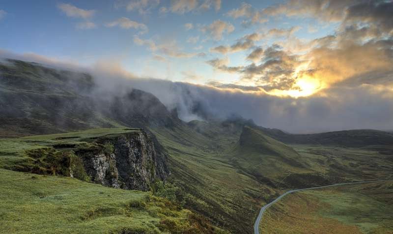
Tashkurgan is a small, cold, handsome town of Tajik stone houses and proud eagle-hunters. Spend one night, maybe two. The Stone City ruins on the edge of town look out over a plain where the Tajik people have grazed sheep for a thousand years, and a morning walk there beats any paid attraction. If your permit and timing line up, the road continues 130 km south to the Khunjerab Pass at 4,693 m, the highest paved border crossing in the world, where the Pakistan flag waves on the far side. Most rental cars are not cleared for the final stretch to the actual border, but the drive to the checkpoint and back is a full day of switchbacks and glacier views.
Eat simply in Tashkurgan. The town’s handful of restaurants serve hearty noodle soups, fried bread and sweet milk tea that the Tajik families drink by the litre, and a hot bowl after the pass is exactly what the altitude orders. Vegetables are scarce up here, so the apricots and walnuts sold roadside in autumn are worth a stop.
Leg 3: The Taklamakan crossing
Back in Kashgar, reset. The desert half is a different kind of trip: not vertical drama but horizontal emptiness. Drive east on the G3012. Aksu makes a logical first overnight, 460 km of smooth expressway. From Aksu the road bends north to Korla, the basin’s biggest city, then to Luntai. Here the real adventure begins.
The Tarim Desert Highway runs 522 km due south from Lunnan to Minfeng, a dead-straight ribbon of asphalt laid through dunes that try to swallow it every spring. It was built in the mid-1990s and is kept open by windbreak plantations and constant maintenance. There is essentially one town on it, and that is the point. You drive for four or five hours seeing nothing but sand, salt bush and the occasional water-pumping station. Fuel the tank to full in Luntai. The next reliable pump is at the far end. Carry water, a couple of litres per person, and do not treat the empty road as an invitation to speed. Sand drifts and the odd stalled truck appear without warning. I crossed in late September and the temperature was a forgiving 24 C. In July it can hit 42 C and the cabin air conditioning will work hard.
One detour is worth a half day if you are here in October. Just north of Luntai, the Tarim Populus euphratica forest turns gold for about three weeks, and the boardwalk loops through it are among the easiest beautiful walks in the whole basin. Miss the window and the leaves are gone.
Any car will manage the Tarim Desert Highway, which is smooth asphalt, but I was glad to have an SUV on the Pamir, where a few stretches between checkpoints are patched and the occasional rockfall is swept rather than removed. The desert road is eerily straight, and the danger is boredom as much as anything. Every forty or fifty kilometres a green square of poplar and a low concrete block marks a pumping station that draws groundwater to keep the windbreaks alive. The attendants wave but rarely speak English. Pull in, stretch, and check the tyres. Heat is the only real enemy, and a slow leak in 40-degree sand will end your day faster than any police checkpoint.
Leg 4: Hotan and the run back to Kashgar
Minfeng to Hotan is another 300 km south, then the G3012 turns west and runs 500 km back to Kashgar along the southern edge of the basin, through Yarkand and Shache. Hotan is the jade city, famous for its Sunday market and its carpets, and it earns a full day even if you buy nothing. The final leg to Kashgar is long but flat and fast. Break it at Yarkand if your legs complain.
How long, how much, and when
Plan eleven or twelve days for the full circuit, with Kashgar as your hub at the start, the middle and the end. A comfortable budget for two people in a rented SUV, including fuel, mid-range hotels and food, runs about 900 to 1,200 yuan a day. Fuel alone for the 2,100 km loop is roughly 1,400 yuan at current diesel prices around 7.8 yuan a litre. Tolls on the G3012 expressway add maybe 400 yuan across the whole trip. The best window is May through early October. The Pamir is glorious from June to September. The desert is kindest in spring and autumn and brutal in high summer.
If you want a day-by-day skeleton: days 1 to 3 cover Kashgar to Tashkurgan and back, with one night on the Pamir. Day 4 is a buffer in Kashgar. Days 5 to 7 run Kashgar to Aksu to Korla to Luntai. Day 8 is the desert crossing to Minfeng. Days 9 to 10 are Hotan and the southern rim to Yarkand. Day 11 brings you home to Kashgar. Stretch it by a day wherever the light is good, which will be often.
Pack for two climates. The Pamir is cold at night even in August, so a fleece and a real sleeping layer earn their place, while the desert swings from warm days to sharp evening drops. Sunscreen, a cap and a refillable bottle matter more than anything fashionable. Tell your hotel in Kashgar your rough plan and check in by message when you reach Tashkurgan and again in Hotan. The signal is patchy but not absent, and a posted route is the difference between a story and a search.
A few things I would tell a friend
Get the border permit sorted in Kashgar before the Pamir leg. It is free and fast, but only if you do it in advance. Keep the fuel tank above half and water in the car on the desert highway. The emptiness is real. Do not try to do it in a hurry. The circuit rewards a slow pace: a long lunch in a Hotan noodle house, an extra night in Tashkurgan, a sunset at Karakul you did not plan for. And tell someone your route. The expressway is busy, but the desert crossing is not, and a phone with a China SIM and offline maps is non-negotiable out there.
The Kashgar-to-Pamir drive deserves its own reading before you go, and the details of crossing the Taklamakan on its desert highway are worth studying for fuel and water planning. In Tashkurgan, the stone city and Tajik heritage explain why this cold town matters. Hotan, the jade city, is more than a fuel stop, and the wider Pamir Plateau context helps you understand the heights you are climbing.
If you are building a longer Xinjiang trip, pair this loop with the northern routes and treat Kashgar as the hinge. The south shows you the two faces of the region at once: the high, cold Pamir and the hot, old silence of the Taklamakan, joined by one oasis city that has been a crossroads for two thousand years.