
Driving from Chengdu to Xinjiang: The Sichuan-to-Xinjiang Overland Route
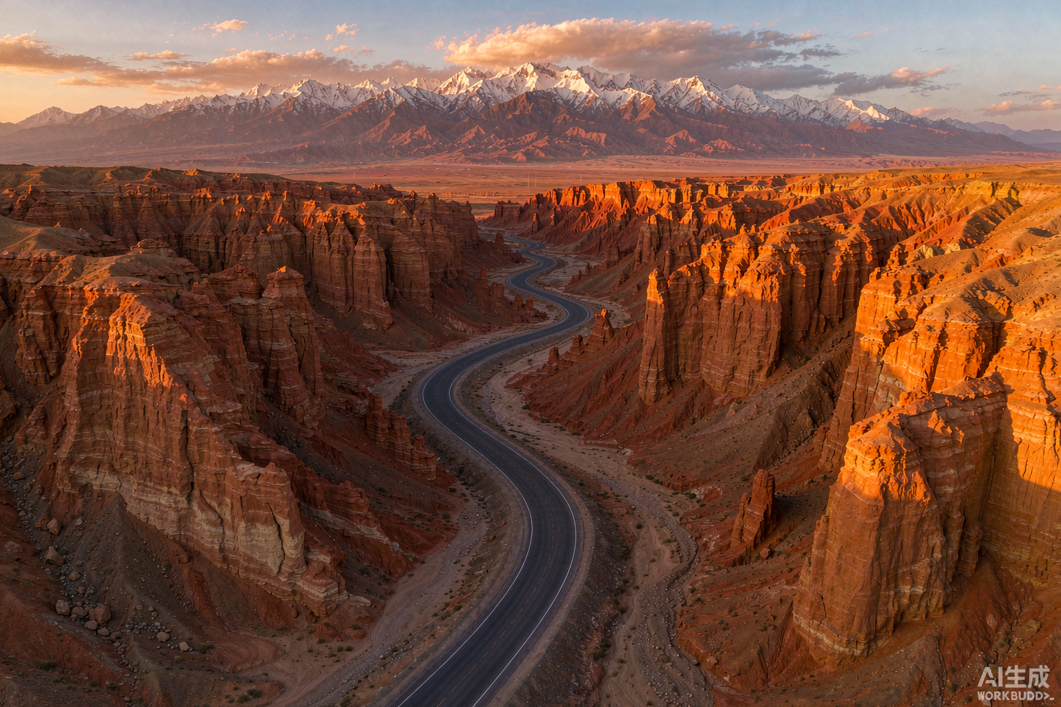
Last spring I pointed a rented SUV west out of Chengdu and did not stop until I hit the edge of the Taklamakan. The run from Sichuan into Xinjiang is one of the great overlooked road trips in China, and almost nobody plans it from outside the country. Most foreign travellers fly into Urumqi or Kashgar. I think that is a mistake. Driving the 2,600-odd kilometres from Chengdu gives you the whole arc of the place through a single windscreen: wet Sichuan valleys, the dry Gansu corridor, and then the sudden wall of the Tian Shan.
This is the route I actually drove, with the distances, the tolls, the checkpoints, and the bits I would change if I did it again.
Why Chengdu makes a good launchpad
Chengdu is the easiest place in western China to pick up a one-way rental if you are already based there, and it has a large English-speaking expat scene that can sort out a notarised translation of your licence before you leave. The city sits at about 500 metres above sea level, so you start the trip soft. Within a day you are climbing onto the Loess Plateau and the air gets thin and dry in a way that has nothing to do with altitude.
The other reason is practical. If your China visa entry point was Chengdu, or you have been working in Sichuan, it is simply the closest major city to Xinjiang that most foreigners already know. Flying west burns a day you could spend driving, and you miss the slow transformation of the landscape that is the whole point of the trip.
The route: Chengdu to Urumqi via the Gansu Corridor
There are two ways to reach Xinjiang by car from Chengdu. The scenic one runs west on the G318 and then north on the G317 through Garze and up onto the Tibetan Plateau. Do not take that one unless you already hold a Tibet travel permit, because the checkpoints will turn you back at the border and you will have wasted three days. The route below stays on the northern side, never enters the Tibet Autonomous Region, and needs no special permit beyond the standard Xinjiang border paperwork.
The clean line is this: Chengdu, north on the G75 Lanhai Expressway into Gansu, then west on the G30 Lianhuo Expressway all the way to Urumqi. The G30 is the backbone of the whole trip. It runs from Lianyungang on the coast to Khorgos on the Kazakh border and it is the road you will live on for three straight days.
Day 1: Chengdu to Tianshui, about 600 km
I left Chengdu at 7 a.m. and ran the G75 north through Mianyang and Guangyuan, then dropped into Gansu past Longnan to Tianshui. That is roughly 600 km and a solid eight hours with stops. The road is good the whole way, four lanes and divided, but the Longnan section has tight river-valley curves that reward a calm right foot. Tianshui itself is worth a night for the Maiji Shan grottoes if you have a spare morning, though I pushed on to save a day.
Day 2: Tianshui to Zhangye, about 560 km
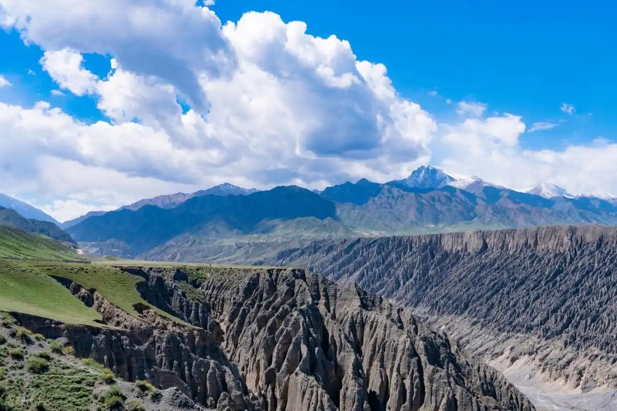
Day two is the easy one. West from Tianshui you pass Lanzhou, the Gansu capital, then Wuwei, and roll into Zhangye by late afternoon. Around 560 km. Lanzhou is where the G30 really opens up: flat, fast, and boring in the best way after the Sichuan mountains. Zhangye is the gateway to the Danxia rainbow mountains, and if you time it for evening light the drive out to the viewing platforms is a proper reward for two days behind the wheel.
Day 3: Zhangye to Dunhuang, about 590 km
West again through Jiayuguan, where the Great Wall technically ends, and on to Dunhuang. About 590 km. This stretch is the heart of the Hexi Corridor, the narrow ribbon of oasis and gravel that carried the Silk Road. By the time you reach Dunhuang the mountains have dropped away and the Gobi is on both sides. I slept in Dunhuang, ate my body weight in noodles, and walked the Crescent Lake dunes at dusk when the sand turns orange.
Day 4: Dunhuang to Urumqi, about 850 km (or split it)
The final push crosses the provincial line at Hami and continues to Turpan and then Urumqi. It is the longest day, close to 850 km, and I would split it if I had the time: Hami to Turpan is about 410 km, Turpan to Urumqi another 180. The climb onto the Tian Shan east of Urumqi is the first real mountain driving of the trip, and the temperature can drop twenty degrees in an hour. That is also where Xinjiang properly begins, and where the corridor stops holding your hand.
Crossing into Xinjiang at Hami
Hami is the first city over the line and the first place the checkpoint rhythm changes. From here west, police checkpoints are frequent, your passport gets scanned, and your rental paperwork gets a look. None of it is hostile. It is routine, and it moves quickly if your documents are in order. Here is what police checkpoints are really like on a Xinjiang self-drive, written by someone who has been through dozens of them and knows which ones actually slow you down.
Paperwork: licences, permits, and what you actually need
On this corridor you do not need a Tibet permit and you do not need the southern Xinjiang border permit unless you are heading south of Kashgar toward Tashkurgan. What you do need is a valid foreign licence plus a notarised English translation, and a rental contract that names you as a driver. I carried both a certified translation and a digital copy, and showed the paper version every time. If you are unsure whether your licence will be accepted, this guide to driving in Xinjiang on a foreign licence covers the IDP question and the rental reality in plain terms, including the deposit traps that catch first-timers.
Fuel, tolls, and what the trip costs
The G30 is a toll road and the bill adds up. For a saloon or small SUV the Chengdu to Urumqi tolls came to roughly 1,100 yuan when I drove it, paid mostly through the ETC lane. One warning: foreign-card ETC does not always work, so keep some cash or make sure your Alipay is hooked to a Chinese bank card before you leave Chengdu. Fuel is easy to find the entire way. Petrol was running about 7.6 yuan a litre for 92-octane when I filled up in Hami, and the pumps take QR payment without fuss. Our fuel prices and how to pay at the pump piece has the current numbers and the remote-range planning you need once you leave the corridor for the empty western counties.
For the wider picture, our Xinjiang travel budget breakdown lays out what a self-drive actually costs by travel style, once you are past the Gansu stretch and into the pricier far west.
When to drive it
The corridor is low and the G30 stays open all year, so unlike the high passes of Xinjiang itself you can technically drive it in winter. I would not. The Loess Plateau sections ice over, the Gobi wind is brutal, and Dunhuang in February is a cold, shuttered place. The sweet spots are May to June and September to October: long light, dry roads, and the Gobi at its most photographic. The best time to visit Xinjiang guide maps the months against crowds and weather if you are building the whole trip around this drive and want to land in the right season.
Food on the road
You eat your way across China on this route. Chengdu sends you off with hotpot and Sichuan peppercorn. Lanzhou gives you beef noodles, proper ones, for about 12 yuan a bowl. Dunhuang does a brilliant hand-pulled noodle with scrambled egg and tomato. Then, the moment you cross into Hami, the food turns Xinjiang: lamb, cumin, and flatbread, and it stays that way all the way to Kashgar.
Where you sleep, and the occasional car nap
The corridor is dense with county towns, so you are never far from a hotel. I booked nothing in advance and never struggled: a clean chain hotel in Tianshui, a courtyard place in Dunhuang, and a forgettable but warm box in Hami. The rest areas on the G30 are real rest areas, not just car parks. A few have food courts and the kind of squat toilets you learn to expect. On the long Day 4 I napped in the car for twenty minutes at a Turpan service area, which is legal and normal and beats arriving in Urumqi half asleep.
Navigation and staying connected
Download offline maps before you lose signal west of Lanzhou. The corridor has patches with no data, and Google Maps does not work in China, so load a Chinese mapping app or offline tiles before you leave Chengdu. A local data SIM or eSIM keeps the navigation and translation apps alive in the towns. I ran a Chinese SIM the whole way and it never dropped for more than an hour at a stretch, which is all the margin you need when the next exit is forty kilometres away.
What opens up once you reach Urumqi
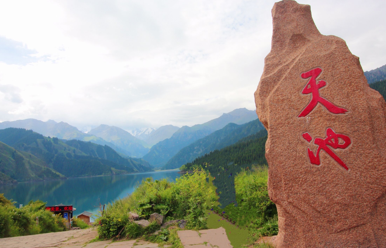
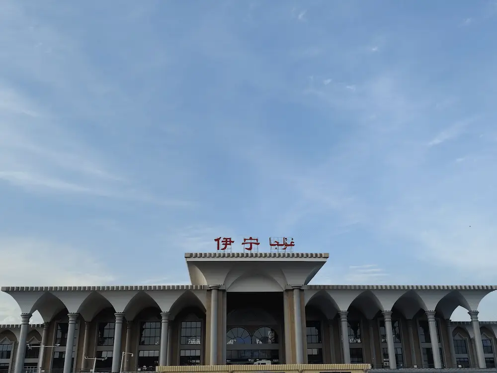
Urumqi is not the destination. It is the on-ramp. From here the real Xinjiang scatters in every direction: Tianchi lake two hours north, the Duku Highway southwest toward Kucha, the Ili valleys west toward Yining. I took a day for Tianchi, a glacial lake pinned under a 5,400-metre peak, and it was the calmest morning of the whole trip.
If your trip lands between June and September, the Duku Highway is the single best drive in the region, a 560 km run that climbs from the desert floor to 3,400 metres and back. The Duku Highway guide has the opening dates and the pass-closure rules, because it is closed the moment snow falls and reopens only in early summer.
The Khorgos option: keeping going to Kazakhstan
Because the G30 ends at Khorgos on the Kazakh border, the corridor can be the first leg of something bigger. If your paperwork allows it, you can ship the car across and keep driving into Central Asia. That is a different permit conversation, but it is worth knowing the road you are on already points that way. Most people, myself included, turn south at Urumqi and never reach the end of the highway.
What I would tell a friend before they leave
Download offline maps before you lose signal west of Lanzhou. Carry cash for the odd toll booth. Get the licence translation done in Chengdu, not at the border. And give yourself five days, not four, so Dunhuang is not a blur and the Gobi gets the hour it deserves at sunset.
The Chengdu to Xinjiang drive is long, mostly flat, and unfairly overlooked. Fly into Urumqi and you skip the best part: watching the country turn from green to gold to white-mountain desert, one tank of fuel at a time.