Aral: The Tarim Desert Reclamation City Built From Sand
Where the Desert Was Made to Bloom
Most foreigners who plan a Xinjiang road trip fixate on Kashgar, the Tianshan, or the lakes of the north. They skip Aral, and I did too on my first two trips. On my third, in late September 2023, I pointed the rental north out of Korla and kept driving south along the Tarim River until the highway ended at a grid of wide streets, poplar-lined and suspiciously new. That was Aral, and it rearranged how I think about this region. What looks on the map like a blank in the Taklamakan’s eastern skirt is in fact one of the strangest human experiments in modern China, a city grown from an order to irrigate a desert, and a stop that repays the detour with a story you will not read on any plaque in the famous towns.
Aral sits roughly 520 km south of Korla and about 240 km north of the Taklamakan’s heart. It is a young city, incorporated only in 2002, but its story starts in 1953 when the PLA’s 359th Brigade was ordered to settle the wasteland between the Tarim and the desert. They dug canals, planted millions of poplars, and turned saline scrub into the most productive cotton and red-date land in the country. Today around 400,000 people live here, almost all of them tied to the reclamation farms that still ring the city in emerald squares. The place is flat, planned, and quietly astonishing once you understand what it cost to make it, a grid where every road is a canal and every field a small victory over the sand.
Why Drive All the Way Down Here
The honest answer: Aral is the quiet eastern anchor of the Tarim Basin loop, and it solves a routing problem that bothers a lot of self-drivers. If you want to cross the Taklamakan on the desert highway but do not want to backtrack, Aral feeds you onto the southern connector toward Luntai and Korla, or west toward Aksu. I treated it as a half-day reset: fuel, a real hotel shower, and a hot meal after three days of desert driving where the only stops were police checks and gas pumps, and the difference between a tired driver and a rested one on the empty southern road is not small.
It is also genuinely interesting if you like 20th-century planning, agriculture, or the sheer spectacle of water moved by human will. The Taklamakan desert highway that most travelers cross actually has its northern approach roads overlapping this corner of the basin, and Aral is the last proper town before the void. Stand on the edge of the poplar windbreak at dusk and you can see the exact line where the green stops and the sand begins, a frontier drawn by shovels and held by irrigation, and that line is the whole reason the city exists.
The 359th Brigade Museum
Spend two hours at the reclamation museum on the west side of town. Entry is free, the labels are in Chinese with patchy English, but the photos hit hard: soldiers in 1950s greatcoats standing waist-deep in a half-frozen canal, then the same ground as a date orchard sixty years later. A retired farm manager I met there, Mr. Li, walked me through a diorama of the canal network and laughed when I asked if the desert ever fights back. “Every spring,” he said, “the wind takes a field, and every spring we take it back.” He had spent forty years on the same reclamation block his father started, and he spoke about the soil like a relative, pointing out where the salt had been leached and where the cotton now stood thigh-high.
If your interest is the broader basin, pair this with the Tarim Basin loop guide before you set off. The loop makes most sense once you have stood in Aral and felt how thin the line is between farm and sand, and how much engineering holds it.
Getting There and Around
From Korla it is a straight shot south on the G3012 then a provincial road, about 5.5 hours including stops. Fuel up in Korla; the last reliable station with clean restrooms before Aral is at Luntai. The Korla travel guide covers that staging town in detail, and you should treat it as your last real city before the southern basin. After Luntai the road thins and the towns shrink to truck stops, so fill the tank and the water jugs, and download your offline maps because the signal dies in patches.
Inside Aral itself, everything is flat and gridded, so a rental car is overkill for the town but essential for the surrounding farms and the river access. Parking is free everywhere, which still surprises me in China. The ring road that circles the farm belt is paved and empty at dawn, the best time to drive it, when the poplars throw long shadows and the irrigation channels still hold the night’s cool, and you can pull over anywhere without blocking a soul.
Tarim River Access
Drive 18 km east of the center and you reach a thin green ribbon where the Tarim, China’s longest inland river at 2,032 km, still runs above ground. There is a modest riverside platform, a tea stall in summer, and in October the reed beds go the color of old copper. I saw more birds in twenty minutes there than in two days at busier lakes: hoopoe, bee-eater, and a flock of geese I could not name but watched until my neck ached. A local fisherman rigged a line from a reed and caught nothing in the hour I sat with him, and did not seem to care, which is the right attitude on a river that gives and takes without explanation.
What to Eat
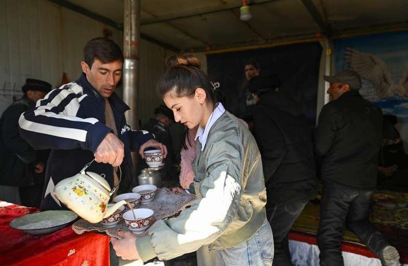
Aral’s red dates are the local boast, sold dried by the kilogram at roadside stalls for ¥20–30 a bag. They are denser and sweeter than the ones I find in European shops, almost like a date crossed with a prune, and they travel well in a soft bag for a week. The cotton story translates to the table too: this is lamb country, and the Luntai poplar forest towns to the north share the same roast-lamb tradition. Order a half-kilo of kawap skewers, a round of naan, and a pot of milk tea and you will eat well for under ¥60, and the skewers here have the slightly gamey depth that only range lamb carries.
For something specific, the date-orchard farmstays on the city’s south edge let you pick your own in September and October. One orchard owner, speaking a little Uyghur-inflected Mandarin I barely followed, pressed a still-warm date into my hand and said the desert makes them sweet because the plant has to fight for every drop. He was right about the fight; the orchard’s drip lines ran all the way to the horizon, a mesh of plastic the color of the sky, and every tree was a calculation of water and sun.
A Night in Town
The hotels are the kind you find in any Chinese county seat: clean, tiled, with a breakfast of congee and fried bread. I paid ¥220 for a room with a window onto the main avenue, and at 10 pm the street was still busy with evening walkers and a night market setting up. The market does the standard northern Xinjiang spread, lamb skewers, hand-pulled noodles, and a sweet fried dough that I have never seen named but have eaten in a dozen towns. A bowl of laghman here costs ¥22 and comes piled high enough to share, and the vendor tossed it with a tomato-lamb sauce that tasted of the long summer.
A Two-Day Sample Itinerary
If you want more than a fuel stop, give Aral a night. Day one: arrive from Korla, check in, walk the museum, eat at the night market. Day two: drive the farm ring road at dawn, visit the Tarim river platform (allow 90 minutes), then loop west to a date orchard for a pick-and-buy, and roll out by early afternoon toward Luntai or Aksu. That pacing keeps the desert crossing to cool hours and leaves you fresh. I have done it both as a blur and as a pause, and the pause was the better trip by a wide margin.
Costs and Logistics
Budget roughly ¥220 for the room, ¥60 for dinner, ¥30 for dates, and ¥120 in fuel from Korla. The museum is free. Taxis within town are ¥6–10; the river platform is a 30-minute drive, so keep the rental. There is an ATM at the main branch bank and a hospital with a foreign-capable desk, neither of which I needed, but both of which ease the mind on a remote loop. Signal is fine in town and gone in the farms, so load maps before you leave the grid.
When to Go
April to May for the newly planted green and the river at its fullest after snowmelt. September to October for the dates and the poplars turning, the single best window in my book, when the whole belt is gold and the air smells of sugar. I would avoid deep summer: Aral sits at roughly 1,000 m and bakes past 38°C in July, with the kind of dry heat that cracks your lips by noon and keeps the poplar leaves rattling all night, and the farms offer no shade worth the name.
If you are continuing south toward the ruins country, the Ruoqiang and Loulan guide picks up the thread from here, and Aral makes a logical last supply point before the empty southern edge where the next town can be a long, hot drive away.
A Practical Note on Permits
Aral itself needs no special permit for foreign travelers; it sits inside normal open counties. The border-adjacent desert to its west does, so check the current rules before you wander off the main roads. I carry a printed copy of my passport and my accommodation bookings, and that has smoothed every random checkpoint between here and the Pamirs. The checks near Aral are light and polite, usually a wave through after a glance at the plate, and a friendly answer in slow Mandarin goes further than any document.
My Take
Aral will not top anyone’s Xinjiang highlight reel. It is not beautiful in the postcard sense, and an hour in the museum is enough for most. But as a waypoint it is calm, cheap, and revealing, and as a story it is one of the strangest things I have seen in the region: a city grown from an order to irrigate a desert. Drive through it once and the rest of the basin starts to make sense, the green and the sand no longer look like luck but like a labor that has simply never stopped, and you leave understanding the Tarim not as a backdrop but as a contest that someone is still winning, one canal at a time.