
Kangjiashimenzi rock carvings: a Tianshan foothill detour from Hutubi
The detour I kept putting off
I had driven the G30 Lianhuo Expressway between Urumqi and Shihezi four times before I ever turned south at Hutubi. The town is an unremarkable blur of wheat flats and roadside signs, the kind of place you fuel up and forget. Then a friend in Changji told me about a cliff with figures cut into it three thousand years ago, and suddenly the blur had a reason.
Kangjiashimenzi is the name on the maps. It means something like the stone gate of the Kangjia family, which is a local gloss and not the point. The point is a Bronze-Age relief panel on a red cliff face in the northern Tianshan foothills, reachable in roughly an hour from the expressway, and visited by almost nobody. I went on a Saturday in June and shared the shelter with one elderly herder and his dog.
Getting to Hutubi off the G30
The exit is signed and easy. From the G30 you drop south into Hutubi town, a flat grid of poplar-lined streets and concrete, and then you turn again toward the mountains that have been sitting on the southern horizon the whole time. If your loop runs the other way, the planned garden streets of Shihezi make a good bookend an hour east, and the two towns together explain a lot about how this corridor was planned rather than grown.
Fill the tank in town. There is no fuel past the county road, and the climb uses more than you expect because you are gaining altitude in low gear. I rolled out of Hutubi with a full tank, three litres of water, and a sandwich I regretted buying from a stall that had clearly been open since breakfast and not cleaned since.
The climb into the northern Tianshan foothills
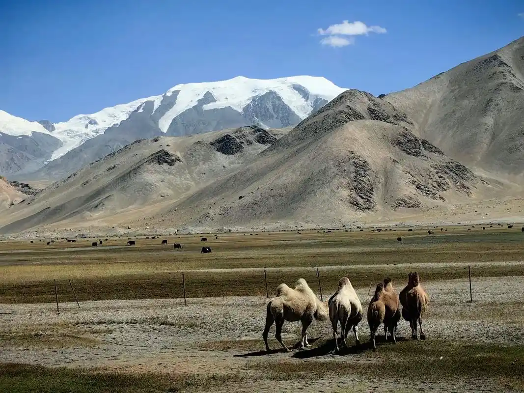
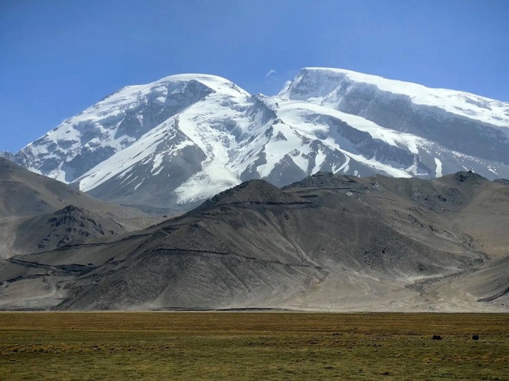
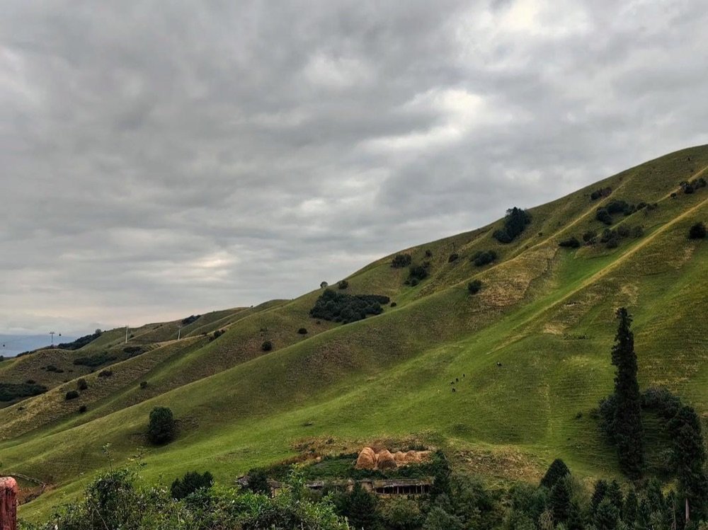
The county road starts flat and agricultural, past cotton fields and the occasional melon stall where a farmer waves a knife at you and points at a stack of Hami melons the size of your tyre. Then the land tilts. The road narrows, the surface turns to broken asphalt and then to graded dirt, and the Tianshan wall rises in front of you in shades of grey and green that the plains never show.
This is the part where a high-clearance vehicle earns its money. In late spring and early autumn, after rain or before the melt finishes, the upper reaches turn to sloppy clay that will strand a sedan. I was in a raised wagon and still picked my line carefully through a stretch of ruts that had swallowed a small car the week before, according to the man at the melon stall. Take it slow. The view improves the higher you go, and the relief panel is near the end of the drivable road, where a small lot sits under a stand of trees.
Park and listen. The first thing that hits you is the quiet, a different quiet from the plains, because up here the wind moves through pine and the only engine sound is your own cooling down. I sat on the bonnet for ten minutes before walking to the shelter, and those ten minutes did more for the visit than any guidebook line. The cliff is red and weathered and clearly old, and the figures are not obvious from the lot. You have to walk up and let them find you.
What the Kangjiashimenzi panel actually shows
Stand in front of it and the first impression is disorder. The panel is large, several metres across, cut into the soft red stone, and it is crowded with rows of human figures, some tall, some small, arranged in patterns that do not resolve into a clear scene until you step back and let your eye find the rhythm. Most readings call it a fertility or ritual composition, rows of figures that may represent a procession or a community at some rite.
The carving is shallow, weathered, and at certain angles almost invisible. I spent twenty minutes just walking the line of the shelter, watching the light move, before the figures stopped being scratches and became people. There are perhaps a hundred of them. Some hold what might be objects. Some are paired. None of it is labelled with certainty, and the on-site sign is cautious about what it claims, which I respected more than a confident invention would have earned.
Bring a zoom lens or binoculars. The panel sits a few metres above the viewing platform and the detail is small. What you will not get, and should not expect, is a clean museum presentation. This is rock, weather, and three thousand years, and the honesty of that is the draw.
The shelter and why you cannot touch it
A steel and concrete shelter now covers the panel, pitched like a farm shed, with a railed platform in front of it. The shelter is ugly and necessary. Without it the rain and the freeze-thaw would finish in decades what three millennia of weather has only softened. You cannot climb to the rock, cannot reach out and press a palm to the figures, and there is a ranger who will tell you so in two languages if you try.
I wrestled with the fence at first. Part of the appeal of rock art is the sense of standing where the carvers stood. But the ranger was right. The stone is soft enough that repeated touching leaves oil and shadow that builds over years into a film, and the panel has already lost detail that old photographs still show. Look hard. Do not touch. The photographs you take from the platform will outlast the fingerprints you might leave.
Entry when I went was cheap, a small ticket of around twenty to thirty yuan, collected at a simple booth near the lot. There is no shop, no café, and no brochure worth keeping. Budget for the drive and the sandwich, not the gate.
The ethics of looking at rock art
This is the part of the trip I think about on the drive home. Rock art is fragile and finite. Every site that gets written up online sees a bump in visitors, and a bump in visitors is a bump in harm, even when the harm is unintentional. So a few plain rules from someone who wants the next traveller to find the panel intact.
Stay on the platform. Do not chalk, trace, or wet the stone to make the figures show, a trick I have seen recommended elsewhere and which does slow damage. Do not add your own mark, obviously, and do not post the precise GPS pin in a way that invites a flood. Share the wonder, not the coordinates. The carvers made this for their own people three thousand years ago. We are guests at a very old door.
Where to eat in Hutubi town
After the mountain quiet, town feels loud. Hutubi has the usual spread of noodle houses and kebab stalls, and it sits close enough to the Hui heartland that you can eat well without trying. For a proper feed, chase a plate of big plate chicken in Shawan, a dish the next county over claims as its own and serves in portions built for four. Hutubi does a credible version too, and you will want the wide belt noodles underneath.
I ate at a small Hui-run place off the main drag, ordered laghman and a plate of cold spinach with garlic, and watched the afternoon shift toward evening through the window. The bill came to under forty yuan. Nothing about it was remarkable except that it was exactly what I needed after a day of standing in the wind. Skip the hotel restaurants and find the places where the locals queue.
If you want more than a meal, Changji and its Hui food culture is a short run south and turns a fuel stop into a reason to stay. The indecision between Hutubi and Changji for dinner is a pleasant one to have. Both towns run on the same Hui-held routines of hand-pulled noodles at noon and skewers after dark, and a traveller who eats in one will eat well in the other without ever learning the difference.
Seasonal access and the snow closure
Timing decides whether you get up the mountain at all. The upper county road is closed by snow roughly from November through April, and even in late October a cold snap can leave ice on the shaded bends that will turn a confident driver around. I went in June, when the foothills were green and the lot was dry, and the climb was straightforward in a wagon with decent clearance.
Call it a May-to-October site for a normal car, with the shoulders needing more care. Spring melt makes the dirt sections slick; autumn is crisp and clear but short. Check the weather in Hutubi before you leave Urumqi, because a forecast that looks fine on the plains means nothing two thousand metres up where the clouds come over the ridge and dump without warning.
Altitude is modest, a few hundred metres above the town, so nobody gets sick, but the wind at the shelter is fiercer than it looks from below. Bring a layer even in summer. The cliff face is exposed and the cold slides down off the peaks fast once the sun drops behind them.
Combining it with the foothill counties
Kangjiashimenzi works best as one stop on a slow drive down the northern Tianshan front, not as a there-and-back dash. Manas County lies west and offers the neighbouring foothill farmland around Manas County, flatter and more farmed but good for a quiet night and a long look at how the plain meets the mountain. East, the summer pastures of Urumqi’s Nanshan pull the same range into greener, more tourist-built shape, with yurts and cable cars if that is your mood.
I ran a two-day loop: Hutubi and the panel on day one, a slow crawl west through Manas and its orchard towns on day two, then back north to the G30 and the long flat run home. It is the kind of driving that looks short on the map and isn’t, because you keep stopping. A melon stall. A bend with a view. A cliff with figures older than every kingdom that ever claimed the valley.
Here is why I keep sending people to Hutubi when they ask about the famous passes and the big lakes. The famous places are worth seeing and crowded doing it. A site like Kangjiashimenzi asks for almost nothing: an hour off the expressway, a rough road, a shelter over a red wall, and a few quiet minutes with people who carved their questions into stone three thousand years before anyone wrote down their names. Drive it in the right month. Bring water and a jacket. Leave the panel as you found it. That is the whole instruction, and it is enough. The Tianshan will still be there on the way out, grey and green and enormous, and you will have earned the sandwich you buy at the bottom.