
Xinjiang’s Production Corps (Bingtuan): The Planned Oasis Towns
The Grid Towns You Didn’t Expect
Driving into Shihezi for the first time, the grid plan is impossible to miss. The roads meet at right angles in a pattern so regular it feels drawn by a draftsman rather than grown by chance, and that is exactly the point. Xinjiang’s Production and Construction Corps, known as the Bingtuan, built this city and dozens like it as deliberate, ordered settlements rather than organic market towns.
I had spent two weeks drifting through older Silk Road oasis towns with crooked lanes and mud-brick walls before I reached the corps belt, and the contrast stopped me at a traffic light for longer than the green required. Everything here was planted in squares: green belts, rationed side streets, and a calm that comes from a place designed to be efficient first and picturesque never.
The corps was organized in 1954 as a state-run system that combined farming, garrison defense, and settlement building across the frontier. Today it still administers towns that function like cities but answer to a military-style chain of command, divided into numbered divisions and regiments that show up on maps and on the signs at the edge of every field.
What I found hardest to convey to friends back home is the scale of the enterprise. The corps holds land across the whole region, from the northern Dzungaria basin to the southern Tarim, and its regiments once operated as near-closed worlds with their own schools, clinics, and shops. That self-containment is fading as highways and phones connect them, but the bones remain, and you sense them in the quiet competence of every town you pass.
How the Corps Built a Map of Squares
The single fact that explains the look of these towns is the division system. The corps is split into fourteen divisions, each numbered and each paired with a city or a cluster of reclamation zones. Shihezi is the seat of the 8th Division. Aral belongs to the 1st Division. Karamay carries corps elements tied to the north, and Bole sits among the western settlements near the borderlands.
I stayed a night in a corps town where the hotel, the grain store, and the bus station all shared the same low, pale-brick aesthetic, as if one budget had built the whole street. That uniformity is not an accident. Each regiment was planned to be self-sufficient, growing its own food, raising its own livestock, and housing the families who worked the land in the same neat blocks.
What surprises travelers is how green it all is. The corps turned arid steppe and desert edge into irrigated farmland by hauling water through canals and digging wells, then lining the new fields with shelterbelt trees to break the wind. I drove past a shelterbelt of poplars so dense it looked like a wall, and behind it lay a field of tomatoes ripening for sauce factories I could smell three kilometers down the road.
The Logic of the Right Angle
You can read the history of a place in its street plan, and the corps towns read like military manuals. The grid made it easy to assign plots, run irrigation channels in straight lines, and move equipment from one regiment to the next without a map. Where an ancient oasis grew around a spring or a river bend, a corps town grew around a surveyor’s peg.
This is the part most guidebooks skip. The towns are not tourist inventions. They are working agricultural engines, and the order you see is the order that lets them feed and clothe a region that, without the canals and the belts, would still be scrub and sand.
Shihezi, the Model City of the 8th Division
If you want to understand the corps in one stop, start in Shihezi. Founded as a corps settlement in the early 1950s and granted city status in 1976, it sits about 145 kilometers northwest of Urumqi along the rail and highway spine of the north. Its population runs past six hundred thousand, a figure that surprises visitors who expected a village and find a proper city with universities, a zoo, and a surprisingly good museum on corps history.
I walked the central boulevard on a cool evening and watched retirees dance in a square edged by trees the corps planted decades ago. The 8th Division headquarters still anchors the town’s identity, and you feel it in the wide avenues named for production, not for saints or emperors. The city is also a cotton and textile hub, with gins and mills that turn the surrounding white fields into thread.
Stay a night if you can. The guesthouses near the university are cheap and clean, the lamb skewers at the night market are worth the walk, and the morning is the best time to see the commute of workers heading out to the regiments that ring the city. Shihezi makes a calm, logical first chapter in any corps itinerary.
The city’s corps museum is worth a slow hour even if museums tire you. It lays out the early years with photographs of settlers planting the first poplars by hand, and the gap between those black-and-white scenes and the air-conditioned boulevard outside is the whole story of the 8th Division in one room. I left understanding why locals speak of the corps with a pride that has little to do with tourism.
Karamay and the Oil-Meets-Cotton Divide
Karamay is the strange cousin in this family. It began as an oil town in 1958 when black crude was found under the desert, and it grew rich on wells rather than wheat. Yet the corps presence is woven through its outskirts, where regiment land meets the pumping stations and the two economies share the same horizon.
I rolled into Karamay after a long stretch of nothing and was startled by the modern skyline rising out of flat ground, all glass and steel paid for by petroleum. The city lies roughly three hundred kilometers northwest of Shihezi, a drive that crosses more than one climate band, from green fields to the rust-colored edges of the Dzungaria basin.
The division between oil and agriculture is visible from the road. On one side, nodding pumps and pipelines. On the other, the rectangular fields of a corps regiment, their boundaries so straight they look ruled. Karamay shows you that the corps story is not only farms. It is also the infrastructure that lets remote Xinjiang function at all.
Why Karamay Earns a Detour
Most travelers rush past on the way to the far west, but the city’s museum and its reclaimed parkland tell a useful counterpoint to Shihezi. Here the settlement was built on extraction, yet the corps model of ordered living still shaped how workers were housed and fed. The result is a town that feels both boomtown and planned community at once.
Aral, a City Reclaimed From Sand
Down in the Tarim basin, Aral, a city reclaimed from desert, is the corps legend made real. Established as a city in 2002 under the 1st Division, it sits at the northwest edge of the Taklamakan, the largest shifting-sand desert in China. The name itself means island, a speck of green in a sea of dunes.
I reached Aral after a day crossing the basin and understood the word only when I saw the fields. Cotton stretched to the horizon, irrigated from the Tarim river, with the desert pressing against the shelterbelts like a tide held back by sheer organization. The city is young, its population a few hundred thousand, and its whole reason for existing is the reclamation that the corps engineered.
This is also where the cotton story becomes unavoidable. The 1st Division farms immense acreage, and the harvest in autumn turns the region into a white carpet that crews gather with machine rows marching in formation. Aral is the place to see the corps at its most ambitious, turning sand into a harvest that the rest of the country wears.
The Taklamakan Edge
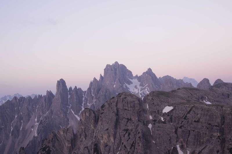
Spend a morning at the desert margin and you will meet the windbreaks that keep Aral alive. The corps planted them row by row, and locals will tell you the sand once reached the town center within living memory. Stand at the edge and you see two worlds in a single frame: the ordered green and the formless gold.
The Cotton and Fruit Economy
No account of the corps is honest without its economy, and that economy is mostly white and sweet. Cotton country runs through the corps divisions like a spine, from the north around Shihezi down to the Tarim basin around Aral. The region produces a large share of the country’s cotton, much of it the long-staple variety prized for fine textiles.
I watched a harvest outside Korla where the picked rows disappeared into modules wrapped in blue plastic, waiting for the gins. The scale is industrial, but the rhythm is seasonal and old: plant in spring, fight the heat through summer, gather before the first hard frost. The corps turned that rhythm into a managed system spanning hundreds of kilometers.
Fruit is the other half. Korla pears, the fragrant small pears named for the city, grow in orchards the corps laid out in grids. Xinjiang’s extreme day-night temperature swing gives the fruit its sugar, and the regiment orchards ship it across the country by rail. I bought a sack at a roadside stand and ate one against the wind, and the sweetness was the clearest argument for the climate that the corps learned to farm.
Grapes and melons fill the same grids farther west, and the corps cold chains have grown sharp enough to send fruit to ports a continent away. A vendor in Korla told me her family’s plot had been the same regiment land for three generations, and the pride in that continuity was plain. The corps is often described in abstractions, but on a summer afternoon it smells of ripe sugar and diesel, and that is the truth of it.
From Field to Freight
The corps is quietly a logistics operation as much as a farm. Cold stores, packing lines, and dedicated freight corridors move the harvest out fast, because a pear or a boll waits for no one. Travelers notice this mostly as the constant truck traffic on the corps highways, a reminder that the neat towns are also factories with fields attached.
Bosten Lake and the Southern Oasis Belt
South of the Tian Shan, near Korla, the Bosten Lake oasis shows the corps working with water rather than against sand. Bosten is the largest freshwater lake in Xinjiang, about fifty kilometers from Korla, and the corps manages the irrigation that draws from it to feed the surrounding farmland. The lake also supports reed beds that supply paper pulp, another quiet industry.
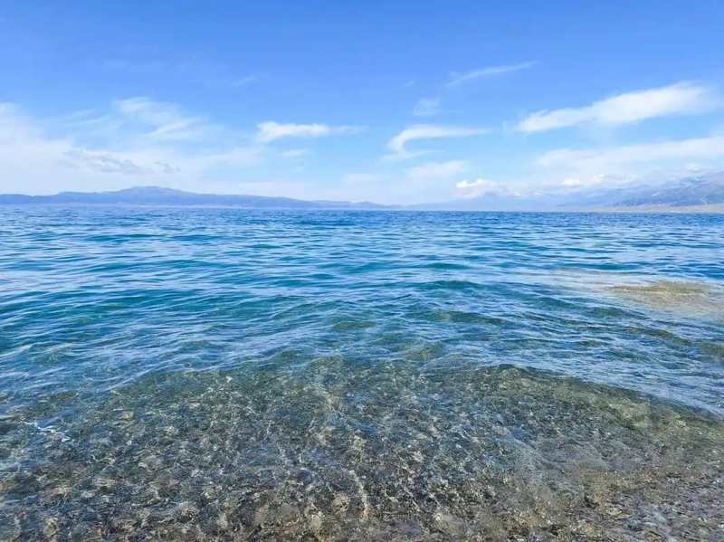
I spent an afternoon on the shore where the desert meets the water and watched sailboats and fishing boats share the same wind. The oasis belt here is greener and wetter than the northern plains, and the corps regiments farm wheat, corn, and vegetables under the lake’s influence. It is a good place to slow down after the long Tarim drive.
Korla itself, though an ordinary prefecture capital, is the gateway to this southern belt and to the corps land that fringes it. From here you can loop north to Shihezi or west toward Aksu and the deeper reclamation zones, using the city as a base for day trips into regiment country.
Fitting the Corps Towns Into Your Route
A sensible loop runs from Urumqi northwest to Shihezi, then on to Karamay, before dropping south through the Tian Shan to Korla and the Bosten Lake oasis, and finally deep into the basin to Aral. That arc covers about fifteen hundred kilometers of good highway and lets you see the corps at every scale, from a model city to a desert outpost.
I would not try to see all of it in one rushed week. The pleasure of these towns is the contrast with the older Silk Road stops, and you need both to feel the difference. Give Shihezi a night, Karamay a half day, Bosten a full afternoon, and Aral at least one sunrise over the fields.
Travel practicalities are easy once you accept the grid. Buses and trains link the major corps cities, and the straight roads make self-driving a joy if you watch the long-haul truck lanes. Carry water, because the distances between services can be real, and time your cotton-region visits for September or October if you want to see the harvest in motion.
The corps towns will never win prizes for charm in the old sense. They are too regular, too new, too purposeful for that. But for a traveling writer hunting the strange, planned heart of frontier Xinjiang, they are among the most interesting places on the map, squares of green earned from sand and steppe by people who drew their cities first and lived in them second.