
Xinjiang’s National Parks and Nature Reserves: A Self-Driver’s Guide
The Protected Places Worth Planning Around
Most visitors to Xinjiang treat the region as one giant open landscape and never notice that large chunks of it sit inside formal protected areas, each with its own rules, gates, and best seasons. After driving past three different ranger stations in a single week, I started planning trips around these boundaries instead of ignoring them. It made the trips smoother and the photos better, because the protected zones are where the genuinely wild scenery is concentrated.
China runs a tier system: national parks, national geoparks, nature reserves, and scenic-area designations. They overlap messily, and a single valley can carry two or three labels at once. What matters to a self-driver is simpler: where do you need a permit or a timed entry, and where can you just roll up and buy a ticket at the gate.
Koktokay and the Granite Canyons
Up near the Altai, Koktokay National Geopark is the easiest protected area to visit by car because the access road is paved and the entrance is well signed in both scripts. I arrived in early October and had the granite gorges almost to myself; the birch had turned, the river was low, and the ranger at the gate just waved me through after checking my passport. Entry ran 90 yuan, and the internal shuttle added another 36. The lesson there: geoparks often bundle a shuttle fee you cannot avoid, so budget for it.
How Entry Fees and Shuttles Work
Every protected area in Xinjiang runs on the same two-part pricing, and nobody explains it until you are already at the booth. There is the base entry, then a separate shuttle or scenic-loop charge that is usually mandatory. At Koktokay my entry was 90 yuan and the internal bus was another 36, and the ranger made clear I could not drive past the first parking lot. The bus was not optional.
Sayram Lake breaks the pattern. You pay a single toll of about 75 yuan and then drive the ring road yourself, stopping wherever the pullouts allow. That freedom is rare. Most geoparks and reserves keep your car in a lot and move you by bus or tram, because the management controls the internal roads. Before you hand over money, ask one question at the gate: can I drive in? The answer changes how much cash you need and how much time you lose waiting for the next departure.
Payment has shifted toward mobile. At the larger parks near Urumqi and Yining I scanned a QR code and was done in seconds, while a traveler ahead of me fumbled with a wad of cash the attendant did not want. Carry a working payment app and a little cash as backup. Multi-day and joint tickets exist at a few places, but the savings only matter if you actually stay two days, which most solo drivers do not.
Children under a certain height often enter free, and a few reserves discount the shuttle for seniors, though the paperwork varies by site. I travel alone so it never applied to me, but a family at the Koktokay gate saved on three kids’ tickets just by confirming their ages at the window.
The Petrified Forest of Qitai
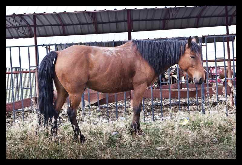
Down in the east, Qitai Petrified Forest protects one of the largest spreads of fossilized wood in Asia. The site is remote, about 150 km from Qitai town on a road that deteriorates into gravel for the last stretch. I bottomed out once in a rented sedan and wished I had taken the 4WD. The payoff is walking among tree trunks turned to stone 200 million years ago, with no fences and no crowds. This is a place where the protection status means you should stay on the marked loops, because the ground is fragile and the fines for off-track driving are real.
Poplar Forests of the Tarim
In the south, the Tarim poplar forest is protected as both a reserve and a scenic zone, and the timing window is brutally short. The golden week of late October is when the leaves turn, and the boardwalks fill with photographers from across China. I went on a Tuesday in the first week of November and found the color past its peak but the crowds gone. If you want the iconic shot, book the last two weeks of October and accept the people; if you want silence, slip in a week later and trade a little color for open space. Either way, the entry gate closes at sunset and they mean it.
Kuerdening’s Hidden Alpine Meadows
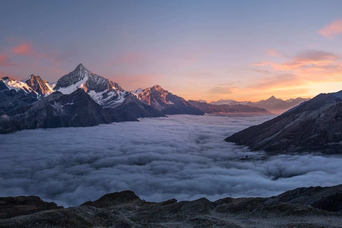
The Kuerdening Nature Reserve in the Ili Valley is my favorite of the bunch because it is still under the radar. It sits at around 1,400 meters, wrapped in spruce and threaded with meadows where wild tulips appear in April. The access is a rough mountain road that a normal car can handle in dry weather but not after rain. There is a ranger post at the entrance where you register and pay a small fee, and from there you are free to wander marked trails. I camped one night at the tree line and counted more stars than I could name.
Alpine Lakes Inside the System
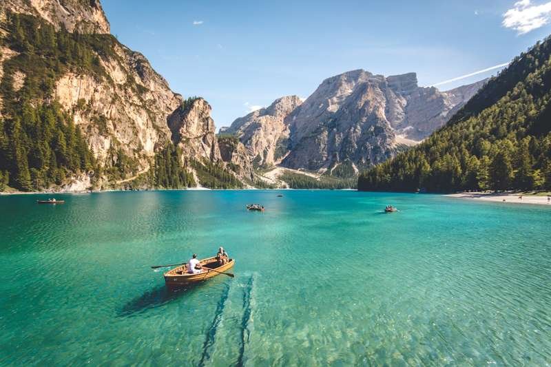
Many of the famous lakes are administratively inside protected areas too. Sayram Lake, the cold blue alpine gem near the Kazakhstan border, is ringed by a toll road that the management runs as a scenic loop; you pay once and can drive the whole circumference. The lake itself is part of a water-source protection zone, which is why you will see signs forbidding swimming and drones in certain bays. Respect them. The rangers there are polite but firm, and a confiscated drone is an expensive souvenir.
Best Season for Each Reserve
Timing decides whether a reserve gives you solitude or a parking lot. The Altai around Koktokay turns gold in the last week of September and holds through early October. Snow usually closes the higher pass by late October, so that two-week window is the one to target. I hit it in early October and had bare roads but freezing nights.
The Qitai petrified forest is a spring and autumn site. Summer bakes the eastern desert past 40 degrees, and winter shuts the access road. The Tarim poplars are the strictest of all. The color peaks in the final two weeks of October, and by the second week of November the leaves are mostly down. Kuerdening runs longer, with wild tulips in April, green meadows through June, and the best spruce color in September.
Sayram sits high and windy, but June and July bring the clearest water and the wildflower ring along the eastern shore. I have seen it flat and mirror-blue in July and whitecapped in May. Pick the reserve first, then build the month around it rather than the other way round.
Rules That Actually Get Enforced
A few things I have learned the hard or watched others learn the hard way. Fires are banned inside nearly every reserve during the dry season, which in Xinjiang runs from May through September in the south. Off-road driving inside a protected area can draw a fine of several thousand yuan and, in the strictest zones, a vehicle impound. Drones are restricted around military-adjacent borders and around most alpine lakes; check the specific site before flying. And always keep your passport handy, because the entrance checks at the bigger parks scan it.
What Rangers Actually Check
The checks are not random, and after a few gates you learn the rhythm. At the big parks the ranger scans your passport at the booth. At smaller posts they jot your plate number and wave you on. Speed inside the reserves is capped low, often 40 km/h on the internal roads, and I have been slowed by a raised hand more than once for going too fast past a meadow.
Drones draw the most attention. At Sayram a ranger flagged me down near the north bay and asked to see the aircraft. I had registered it through the app and he let me fly after a short talk about the no-fly zones near the border side. Had I not registered, it would have stayed in the box. Fires get the same treatment in dry months. During a May visit to Kuerdening the ranger at the entrance asked if I was carrying a stove and pointed at the banned-fire sign before I drove in.
None of it is hostile. The rangers I met were doing a job, and a polite answer and a visible passport kept every encounter under two minutes. The mistakes that cost money come from people who argue or who assume the rules posted at one park apply to the next.
A Border-Zone Permit I Forgot
My worst protected-area mistake did not happen at a park at all. I was routing from Sayram toward the Khorgas side and took a rural connector that brushed the Kazakhstan line. Half an hour in, a checkpoint waved me down. I had my passport but no border-area permit, which that particular stretch required. The soldier was calm, pointed me back the way I came, and told me to use the main highway instead.
I lost about two hours and learned the distinction that still guides me. The famous parks sell entry at the gate and need nothing extra. The quiet county roads near any foreign border can carry a separate permit requirement that nobody mentions until you are stopped. Before I sketch a route now, I trace it against the border on the map and ask at my hotel whether the road touches a controlled zone. The main scenic loops never do, but the shortcuts between them sometimes do.
Driving Between Protected Areas
Chaining reserves means respecting the distances, because the gaps are empty. Koktokay in the Altai and Kuerdening in the Ili Valley are roughly 700 km apart, far too much for one relaxed day. I split that drive with a night in Urumqi, which also let me top up supplies and rest. Sayram sits only about two hours from Yining, an easy half-day hop that pairs well with the Ili grasslands.
The Tianshan is the wall between north and south. To reach the Tarim poplars from the north you cross either the long western passes or the Duku Highway, which opens around mid-June and slashes the crossing time but closes with the first snow, sometimes as early as October. I planned a Duku crossing in late September and made it. A friend who tried in November was turned back.
Fuel is the quiet risk. Stations thin out between reserves, and a few only take domestic payment apps. I keep the tank above half whenever I leave a town, and I carry a jerry can for the long desert legs toward Qitai and the Tarim. Running dry between a geopark and the next town is a solvable problem only if you planned for it before the needle dropped.
I avoid night driving between reserves entirely. The desert and mountain roads have wandering livestock and few lights, and a herd across a dark pass is a real hazard. Leaving by nine and stopping by six kept me off those roads after dark on every trip.
How I Plan a Protected-Area Loop
My method now is to list the reserves I want, check each one’s season and gate rules, and then chain them so I never drive more than half a day between two. Last June I ran Koktokay, then dropped south to Kuerdening, then finished at Sayram, with no single drive over 350 km. The total permit and entry spend was about 420 yuan across the week, a rounding error against the fuel bill, and the scenery was the best I have filmed in the region.
Treat Xinjiang’s protected areas as the highlights, not the obstacles. Plan around them and the whole region starts to make sense.
Family-Friendly Reserves
Not every protected area suits a car full of kids. Sayram is the easiest. The ring road is paved, the bays have parking and toilets, and the altitude around 2,000 meters is fine for most children. Koktokay offers flat boardwalk sections and short walks from the shuttle stops, with the granite walls doing the entertaining. The Tarim poplar boardwalk is also level and short, good for small legs in that brief October window.
Kuerdening is tougher with children after rain, because the mountain road gets slick and the facilities are minimal. I would skip Qitai entirely for a family trip. The 150 km of deteriorating road from town is no place to be stuck with a restless kid. Altitude is rarely the issue in these reserves, since most sit below 2,000 meters, but the remoteness is. Bring food and water, because the gate is often the last place to buy anything for hours.