
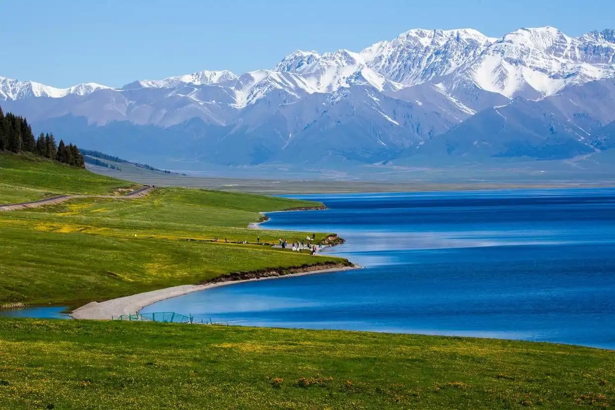
Driving the Xinjiang-Tibet Highway (G219): From Yecheng to the Roof of the World
The road that scares tour buses
I first heard about the Xinjiang–Tibet Highway the way most travelers do: as a rumor. A French guy I met in a Kashgar guesthouse waved his hand east and said, “You can drive from here to Lhasa. Most of it is above 4,000 meters. Some people don’t make it back the same.” He was exaggerating, but only slightly. The route is China’s G219, and the slice that matters to self-drivers starts in Yecheng (also called Kargilik), a dusty Uyghur county town 250 km southeast of Kashgar, and climbs onto the Tibetan Plateau through some of the highest paved road on Earth.
Last September I drove the first 480 km of it in a rented 4WD, turned around at the Kudi checkpoint, and came back with a new respect for what “remote” means. This is not a casual day trip. It is a serious high-altitude expedition that begins in a green oasis and ends, if you continue, at the shores of Lake Manasarovar and beyond. Below is what I learned, and what you actually need to decide before pointing the hood east out of Yecheng.
Why G219 is different from every other Xinjiang road
Xinjiang has famous drives: the Duku Highway, the Taklamakan desert crossing, the Ili valley backroads. All of them stay below 3,500 meters for the most part. G219 is another creature entirely. Within 200 km of Yecheng the road gains more than 3,000 vertical meters. By the time you reach the Kudi pass area you are cruising at 4,900 meters, and the towns ahead — Mazar, Dahongliutan — sit at 3,700 to 4,200 meters, which is higher than any permanent settlement in Europe or North America.
The air at 4,500 meters holds roughly 58% of the oxygen you’d breathe at sea level. Your engine feels it too. A naturally aspirated car that pulls happily at 2,000 meters in the Ili valley will struggle, hesitate, and lose a third of its power up here. That is why most locals run turbocharged diesels or 4WD gasoline trucks. If you are in a rented 2WD sedan, think twice; several rental companies in Kashgar will not even permit their cars on this road.
For context on what the altitude does to the body, read our Xinjiang altitude health guide before you commit. The plateau section of G219 is where mild altitude discomfort turns into something you should not ignore.
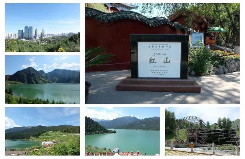
Paperwork: the permit wall
This is the part that stops most foreign travelers. The G219 corridor passes through areas where a border permit is required, and the rules for foreign passport holders are stricter than for Chinese citizens. In practice, the realistic foreign-driven option is to get as far as the checkpoints allow and turn back, or to join an organized 4WD tour with a local driver who holds the right credentials.
I applied through the Kashgar public security bureau and was cleared only for the Yecheng–Kudi stretch; the plateau beyond Mazar was off-limits to me as a solo foreign driver. That still gave me 480 km of the most surreal landscape I have driven in China. Our full border permit guide explains which counties need what, and how the process differs by nationality.
Bring originals, not photos. Bring your passport, your Chinese visa page, and your registered accommodation address from the last hotel (you need this for the application form). The whole thing took me one morning in Kashgar and cost nothing, but it is not something you can do at the roadside.
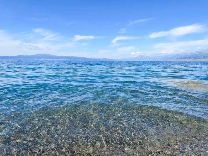
The drive, kilometer by kilometer
Yecheng itself is worth a night. It is a real Silk Road town with a Friday market, decent laghman, and a slightly frontier feel — the last proper town before the void. Stock up here. Fuel, water, cash, food. Once you leave, the next fuel is at Kudi, about 240 km later, and the next reliable anything is much farther.
The first 60 km is ordinary farmland giving way to foothills. Then the road begins to wind, and around the 120 km mark you enter the Karakoram foothills proper. The pavement is good — China paved this whole corridor in the 2010s — but the corners are blind, the drop-offs are real, and there is no guardrail for long stretches. I drove it at an average of 45 km/h and still arrived tired.
At roughly 240 km you reach Kudi , a checkpoint and a small cluster of shops at about 2,800 meters. This is where my permit ended. Travelers who continue climb to the Kudi pass at nearly 4,900 meters, then drop to Mazar and on toward Dahongliutan, the highest town on the route. Past that, the road runs along the Karakash River valley toward the Tibetan borderlands.
If you are planning the full trans-Himalayan run, pair this article with our Taklamakan desert highway guide for a sense of how Xinjiang’s other great empty roads compare. None of them prepare you for the thin air, though.
What to pack that you would not pack elsewhere
Altitude rewrites the packing list. I carried:
- Two liters of water per person per day, minimum. At 4,000 meters you dehydrate fast and the thirst signal is weak.
- A proper down jacket even in September. The temperature swung from 18°C at noon in Yecheng to minus 6°C at the Kudi checkpoint before sunrise.
- Acetazolamide (Diamox) or similar, approved by your doctor before the trip. I did not need it, but the French guy in Kashgar wished he had.
- A physical map and downloaded offline navigation. Signal disappears for hours at a time; our offline maps and signal guide explains which apps actually cache the plateau.
- A full-size spare and a tire repair kit. The nearest help is a very long way off.
Where to sleep and what it costs
Yecheng has hotels from ¥120 for a basic double to ¥400 for something with heating that works. Kudi has a few guesthouses at ¥150–250, basic but warm. Beyond that, lodging gets sparse and you are realistically camping or turning back. I spent one night in Kudi, slept badly because of the altitude, and decided that was enough adventure for a solo trip.
Food on the route is Uyghur standard issue: laghman, polo (pilaf), nan bread, and weak sweet tea. Budget ¥40–70 per meal. There is no Western food and no ATM past Yecheng, so carry at least ¥2,000 in cash for a multi-day run.
The honest verdict
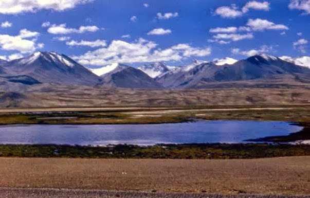
G219 is the most demanding drive in Xinjiang, and possibly in all of China open to foreign visitors. It rewards preparation with scenery you will describe badly to friends for years: black mountains, frozen rivers, yaks on the road, and a sky so close it feels personal. But it is not a route to attempt casually, alone, or without the right permit.
Most foreign travelers are better served by basing themselves in Kashgar and Hotan, then sampling the lower foothills of G219 as a long out-and-back. That gives you the drama without the rescue helicopter. If you do go farther, tell someone your plan, check in by satellite messenger when you can, and turn around the moment your body complains.