
Iron Gate Pass (Tiemenguan): The Gorge That Made Korla
Twenty minutes north of Korla’s ring road, the highway enters a gorge so narrow that for a stretch there is barely room for the river, the old road and the railway together. Trucks crawl. The rock closes overhead. If you have read anything about the Silk Road you will have encountered the phrase “Iron Gate Pass” and assumed it was a metaphor. It is not. It is this gap, and it is the reason Korla exists.
I drove it northbound in early June on the way to the grasslands and nearly missed the turn to the historic site because I was watching a coal truck take a blind corner badly. Coming back a week later, I stopped properly. It took an hour and it reorganised how I understood the whole southern half of Xinjiang.
Why a gap in a mountain mattered
Look at a relief map of Xinjiang and the logic becomes obvious. The Tianshan runs east–west, dividing the region into the Junggar Basin in the north and the Tarim Basin in the south. Getting an army, a caravan or a tax collector from one to the other means finding a crossing, and there are not many.
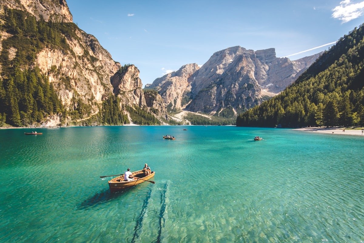
The Iron Gate Pass — Tiemenguan in Chinese — is the defile where the Peacock River, the Kongque, cuts south through the range toward the Korla oasis and eventually toward Lop Nur. It is the natural doorway between the Yanqi basin to the north and the Tarim rim to the south. Whoever held it controlled traffic on the northern branch of the Silk Road through this section, and successive states did exactly that. Garrison posts were established here from the Han period onward; the name in its current form dates to the Jin era, and Tang-period records treat it as one of the twenty-six critical passes of the empire.
Chinese poetry has a long habit of using frontier passes as shorthand for exile and distance, and Iron Gate turns up in that literature. Standing in the gorge, the metaphor stops being literary. The walls are dark, close and genuinely oppressive. A dozen soldiers here could have stopped a column.
What survives
Be realistic. This is not a fortress you can walk around. What exists is a small managed scenic area at the gorge, with a reconstructed gate structure, a stele, walkways along the water, and interpretive signage. Some sections of old wall and platform remain in the surrounding hills, heavily eroded.
The reconstruction is unashamedly modern and some visitors find that disappointing. My view is that it does not much matter, because the actual monument here is the topography. You are looking at the same rock walls and the same river that made the pass strategically decisive for two thousand years. The gate is a prop. The gorge is the artefact.
Entry has run around ¥30 to ¥50, opening roughly 9:00 to 18:30 with longer summer hours. Allow an hour, ninety minutes if you walk the upper path.
Getting there from Korla
The site sits about 8 to 10 kilometres north of Korla city centre, off the highway heading toward Yanqi and Bosten Lake. Any taxi will do it for ¥25 to ¥40 one way, and city buses run to the northern suburbs from which it is a short hop. If you are driving your own vehicle it is effectively on the way out of town northbound, which is the ideal way to see it — an hour’s stop rather than a dedicated excursion.
Korla itself is a comfortable base and an underrated city: broad avenues, a big pear-growing industry, and better hotels than anywhere else in Bayingolin. Our Korla city guide covers accommodation and where to eat, and the food scene along the river is genuinely decent by regional standards.
A word about the traffic
The modern road through this corridor is a working freight artery and it is one of the more unpleasant stretches of driving in Bayingolin. Heavy trucks, tight radii, tunnels, and drivers who overtake on faith. There have been substantial upgrades including new tunnel sections that bypass the worst of the old alignment, but the older road is still in use and it is where the historic gorge sits.
Drive it in daylight. Do not attempt to photograph from the roadside — there is nowhere safe to stop for several kilometres and I have watched people try. Use the scenic area car park.
Building a day around it
An hour at the pass is not a day. Fortunately it sits at the bottom of one of the best short drives in southern Xinjiang.
Head north through the gorge and within an hour you are on the edge of the Yanqi basin with China’s largest inland freshwater lake spread out to the east. The eastern shore drive is quiet, agricultural and full of reed beds and small fishing operations; our Yanqi county and eastern Bosten Lake loop covers exactly that circuit and it makes a natural full day out of Korla with the Iron Gate Pass as the opening act.
Continue north-west and the road climbs toward the high grassland plateau. That is a longer commitment — the run up to the Kaidu river’s famous meanders is a proper day’s drive from Korla — but it is the same corridor, and the Bayanbulak grassland and Nine Bend River is one of the region’s genuine highlights. Doing the pass on the way out gives the drive a narrative: you leave the desert basin through the historic gate and climb to the pastures the garrisons were watching for.
Westward instead, the ancient kingdoms of the northern Tarim rim start. Our Kuqa town guide covers the next major stop, roughly 280 kilometres along, and the Buddhist sites there are the cultural payoff for anyone whose interest was piqued at the pass.
The other Tiemenguan, and the railway
Two things confuse visitors searching for this place online, and both are worth clearing up before you go.
First, there is a modern city called Tiemenguan. It was established in the last couple of decades as one of Xinjiang’s administratively distinct municipalities under the production and construction corps, sitting north-east of Korla in the Yanqi basin. It has a population in the tens of thousands, industrial parks, cotton and pear processing, and essentially nothing to do with the historic gorge beyond borrowing the name. If your navigation app routes you to Tiemenguan City, you are going the wrong way — the historic site is much closer to Korla.
Second, the railway. The southern Xinjiang line runs through this corridor, and the engineering is a large part of what you are looking at in the gorge. Watching a freight train appear out of a tunnel mouth in a rock wall that a Tang garrison once blocked with a gate is the sort of juxtaposition that no interpretive panel could manufacture. Trains through here run frequently enough that you will see at least one in an hour’s visit.
There is a broader point in that. The pass has been continuously strategic for two thousand years, but what it controls has changed — soldiers, then caravans, then cotton and coal and passengers heading for Kashgar. The reason to stop is not nostalgia. It is that the constraint is still operating.
A short note on the Peacock River
The Kongque, or Peacock River, is worth understanding because it explains the entire settlement pattern south of here. It drains out of Bosten Lake, runs through this gorge, waters the Korla oasis, and historically continued east toward the Lop basin, feeding the wetlands that supported Loulan and the other lost towns of the desert.
That eastward flow has been progressively taken for irrigation over the past several decades and the lower river largely dried, which is directly implicated in the ecological collapse of the Lop region and, more recently, in restoration efforts that release ecological flows downstream in managed pulses. The green corridor of poplar you see along parts of the lower channel is what those releases are meant to keep alive.
So the water at your feet in the gorge is the same water that made a Silk Road kingdom viable four hundred kilometres east, and the reason that kingdom’s ruins are now in a wasteland is partly what happens upstream. Iron Gate Pass is a good place to stand and think about that.
How to get more out of a modest site
A few things that improved my second visit.
Walk the highest accessible path and look south. From the upper walkway you can see the gorge open toward the Korla plain. That transition — dark rock giving way to irrigated green and then to the pale Tarim beyond — is the entire strategic argument in one view.
Watch the river. The Peacock is now heavily managed for irrigation and its flow bears little resemblance to the historic river, but it still moves fast through the constriction. Historic accounts describe the water as an obstacle in its own right.
Read one poem beforehand. Tang frontier verse about passes is short, translated widely, and available free. Ten minutes of reading before you stand in the gorge is worth more than an hour of signage.
Count the transport layers. Old road, new road, tunnels, railway, and the power lines above. Five generations of infrastructure choosing the identical gap. There is no better demonstration in Xinjiang of geography constraining human decisions across millennia.
Seasons and light
April to June and September to October are the pleasant windows. Korla summers are hot — high thirties in July — and the gorge holds heat, though the river gives some relief.
Photographically the gorge is difficult, because it is deep and narrow and the contrast between lit rim and shadowed floor is brutal. Mid-morning or mid-afternoon gives you at least one wall lit and the other in shade, which is more interesting than the flat overhead light at noon. Overcast days are easier than sunny ones. Bracket your exposures.
Winter is cold and grey and the site is nearly empty, which has its own appeal if you are in Korla anyway.
Practical notes for the stop
The visit is undemanding but a few things smooth it. Fuel and water in Korla before you leave; the scenic area has a stall but nothing reliable and you will be back in the city within the hour anyway. Wear proper shoes rather than sandals if you plan the upper path — the walkways are uneven stone and the gorge floor is rubble. Do not try to photograph from the highway; there is no safe shoulder for several kilometres and the trucks do not slow. If you are combining it with Bosten Lake or the Yanqi grasslands to the north, do Iron Gate first and treat it as the warm-up rather than the climax — an hour here reorders the rest of the day, which is exactly the point.
The honest verdict
If you rate sites by how much original fabric is standing, Iron Gate Pass is a minor stop and you will be done in forty minutes.
If you rate them by explanatory power, it is one of the most useful places in southern Xinjiang. Almost everything about how this region was governed, fought over, traded through and eventually connected flows from the fact that the Tianshan has only a handful of doors in it and this is one of them. Every truck grinding up that gorge today is doing what a Han garrison was posted to monitor.
Stop for an hour on your way north. It costs you very little and it makes the next thousand kilometres legible.