
Top 5 Scenic Road Trip Routes in Xinjiang (2026 Driving Guide)
Stretching across one-sixth of China’s total landmass, Xinjiang is not a place you visit — it’s a place you traverse. With distances that shame Europe and landscapes that rival Patagonia, the only way to do Xinjiang justice is on four wheels. This is a region where a “short” drive to the next town can easily top 200 km, where fuel stops double as impromptu Uyghur kebab stands, and where every bend in the road reveals a new geological hallucination.
If you are planning your own Xinjiang self-drive adventure, the first question isn’t “can I do it” — it’s “which route do I choose?” Below are the five most spectacular road trip routes in Xinjiang, updated for the 2026 season with current road conditions, permit requirements, and practical tips gathered from drivers who’ve actually done them.
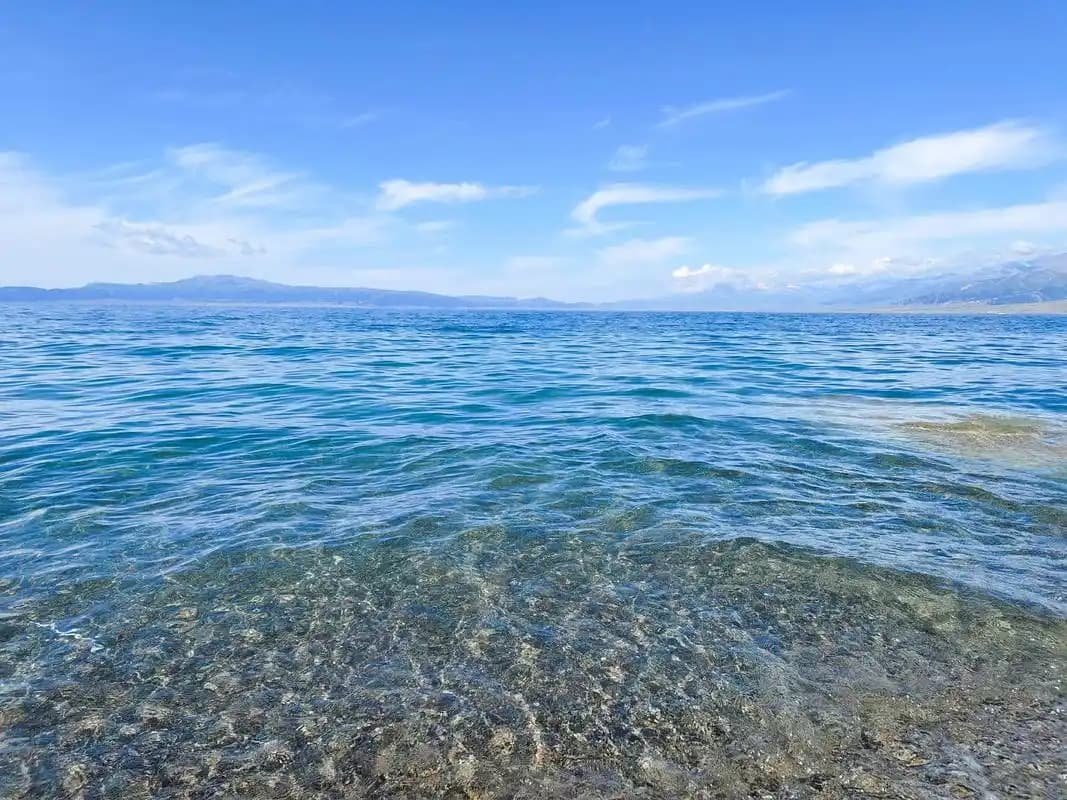 Xinjiang road trip scenery” style=”width:100%;height:auto;margin:20px 0;border-radius:8px;”>
1. The Duku Highway (G217): The Legendary North-South Crossing
No list of Xinjiang road trips is complete without the Duku Highway. Officially part of G217, this 561-kilometer mountain road connects Dushanzi (north) to Kuqa (south), slicing straight through the Tianshan Mountains. It’s widely considered the single most scenic drive in all of China — and arguably one of the best in Asia.
Why it’s special: In a single day you climb from desert scrub at 500 meters to snow-bound passes at 3,400 meters, then drop into the red-rock canyon country of the south. The route passes through four seasons in four hours. You’ll see alpine meadows, glacial valleys, snow tunnels (yes, in June), and limestone cliffs that belong on another planet.
Key stops: Twin Dragons Pool, Hashilegen Pass (3,400 m), Bayanbulak Grassland (nine-bend river), Tianshan Mysterious Grand Canyon (Kuqa side).
2026 update: The Duku typically opens mid-June (around the 10th) and closes late September depending on snow. Check real-time status on the “Xinjiang Traffic Radio” WeChat account before departure. Only vehicles under 7 seats are permitted on certain sections during peak season (July-August).
Drive time: 10-12 hours non-stop; 2 days recommended.
2. G218 Yili Valley Route: The Grassland Corridor
If the Duku is about vertical drama, G218 is about horizontal hypnosis. This route runs east-west along the northern foot of the Tianshan, linking the Yili (Ili) Valley’s greatest hits: Sayram Lake, Guozigou Bridge, Nalati Grassland, and the Kazakh homesteads of Zhaosu.
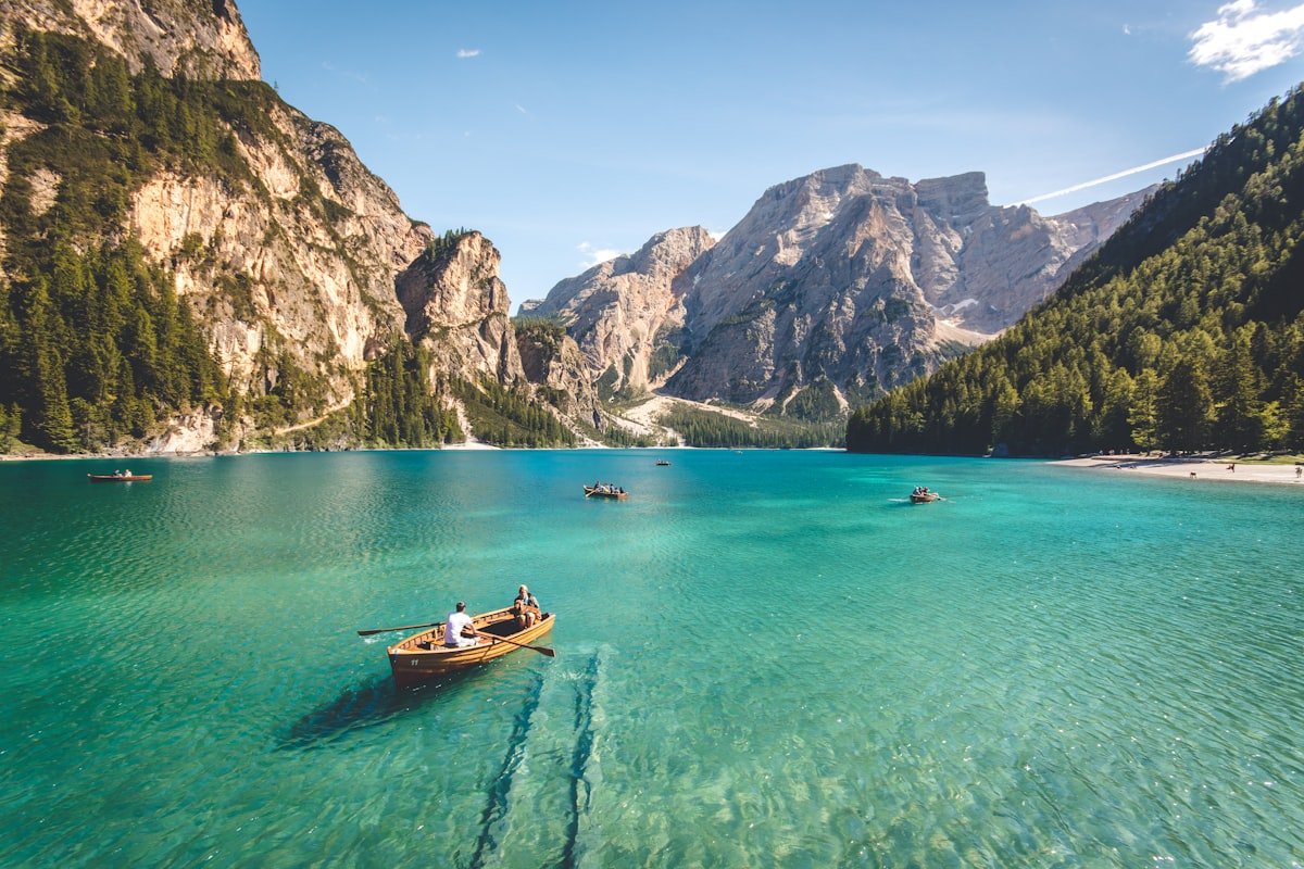 Nalati Grassland on G218 Yili Valley route – Xinjiang road trip” style=”width:100%;height:auto;margin:20px 0;border-radius:8px;”>
Why it’s special: This is Xinjiang’s green heart. The Yili Valley catches moisture from the Atlantic that somehow makes it all the way to Central Asia, creating a microclimate that feels more like Switzerland than the stereotypes suggest. In May and June the valleys explode with wildflowers; in September the poplar belts turn gold.
Suggested itinerary (3-4 days):
- Day 1: Urumqi → Sayram Lake (via G30 expressway, 5 hrs). Sleep in a yurt by the lake.
- Day 2: Sayram Lake → Guozigou → Nalati Grassland (3 hrs). Hike the grassland trails.
- Day 3: Nalati → Zhaosu → Tekes (3 hrs). Visit the Bagua (Eight Trigrams) City.
- Day 4: Tekes → Yining → return to Urumqi (flight or drive).
Practical notes: G218 is fully paved and in good condition. Fuel is frequent. The section between Nalati and Zhaosu involves mountain passes but is manageable in a standard sedan. Yurt accommodation is widely available May through October.
3. G217 Northern Route: The Altay Loop (Burqin → Kanas → Hemu)
The northern arm of G217 (separate from the Duku section) is your gateway to Xinjiang’s most famous natural wonder: Kanas Lake. This route begins in Burqin (a surreal town of colorful Russian-style buildings) and climbs into the Altay Mountains, hugging the course of the Kanas River most of the way.
Why it’s special: This is prime taiga country — dense spruce forests, glacial rivers the color of absinthe, and the kind of silence that makes your ears ring. In autumn (September-October) the birch and poplar belts turn incandescent gold. In winter, the same road becomes a ski-touring access route (for the brave).
Distance: Burqin → Kanas = 148 km (3.5 hrs). The road was fully upgraded in 2023-2024 and is now a smooth two-lane asphalt highway with guardrails along the river sections.
Important 2026 update: Private cars are restricted in the Kanas scenic area between June and October. You must park at the designated parking lot in Jiadengyu (the entrance town) and take the official shuttle bus into the scenic area. Plan accordingly — the parking fee is ¥20/day and the shuttle is ¥100 return.
Side trip: From Burqin, a 2-hour drive north on the S232 leads to the Koktokay International Ski Resort area (winter) or Koktokay National Geopark (summer) — granite canyons and the Irtysh River’s source.
4. Taklamakan Desert Highway (G3012): The Crossing of the Sea of Death
The Taklamakan is the world’s second-largest shifting-sand desert (after the Rub’ al Khali in Arabia). Crossing it by road was, until the 1990s, the stuff of expedition journals. Today, the G3012 expressway runs straight through the middle of it — 522 km of arrow-straight asphalt bordered only by windbreak poplar plantations and the occasional solar-powered monitoring station.
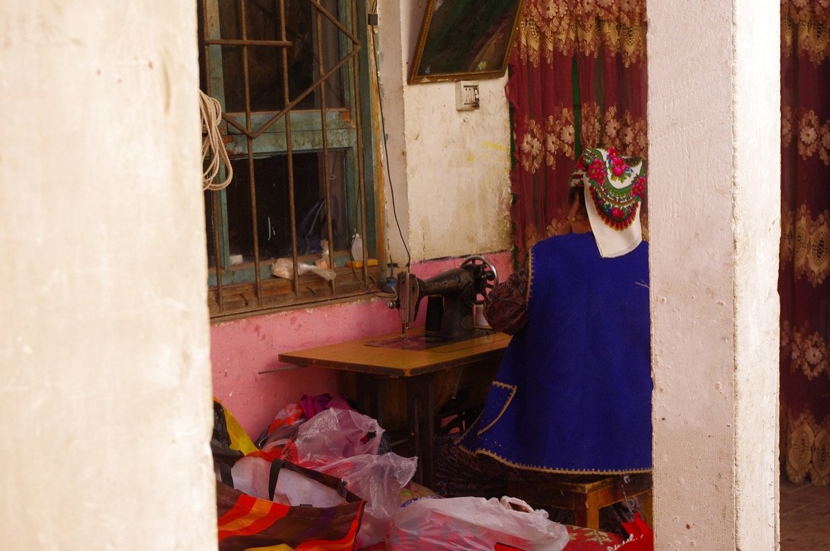 Kashgar Old Town – southern terminus of the Taklamakan Desert Highway” style=”width:100%;height:auto;margin:20px 0;border-radius:8px;”>
Why it’s special: There is something existential about driving the Taklamakan. The road is so straight that your brain stops registering forward motion. The dunes on either side shift daily, and the desert wind creates sand waves that look like frozen oceans. It’s one of the few places on Earth where you can stand in the middle of a major highway and hear absolutely nothing.
Route options:
- North-South (Main): Lunnan → Minfeng (via the desert heart). This is the original crossing. There are three fuel stations en route (about 150 km apart).
- East-West: Korla → Ruoqiang along the southern edge (G315). Less dramatic but connects to the Qinghai-Tibet Plateau route.
Practical notes: Fuel is critical — fill up at every station. There is no mobile signal for long stretches. Download offline maps before departure. The desert crossing is NOT recommended for solo drivers in winter (sandstorms and extreme cold). Spring (April-May) and autumn (September-October) are ideal.
Cultural highlight: The southern end of the crossing connects to Kashgar, the ancient Silk Road terminus. Plan at least two days in Kashgar’s Old Town after your crossing — you’ll need the cultural reboot.
5. S101 Tianshan Heritage Highway: The New Scenic Route
The S101 is the newest star in Xinjiang’s road-trip constellation. Originally a military supply road built in the 1960s, it has been upgraded and rebranded as the “Tianshan Heritage Highway” — a 309 km scenic route that runs parallel to the Tianshan ridge, south of the G30 expressway, connecting Urumqi to Kuqa through a series of rainbow mountains, Danxia landforms, and forgotten Silk Road fortresses.
Why it’s special: Unlike the Duku (which is seasonal and crowded), the S101 is open year-round and sees a fraction of the traffic. The scenery is a mix of colorful sedimentary rock formations (similar to Turpan‘s Flaming Mountain but on a grander scale), remote Kazakh summer pastures, and sections where the road is literally carved into cliff faces.
Key stops: Urumqi suburbs → Shawan Rainbow Beach → Jinghe → Yili River Valley overlook → Kuqa. The route passes within 50 km of Tianshan Grand Canyon (Kuqa side) — worth a detour if you have time.
Road condition (2026): The S101 has been fully paved as of late 2024. A standard sedan can handle the entire route. Some sections are still being landscaped (viewing platforms, rest areas), but the driving surface is excellent. Allow 6-8 hours for the full route.
Practical Road Trip Tips for Xinjiang (2026 Edition)
Fuel: Xinjiang has abundant petrol stations along major routes, but the desert highway and remote sections of G217 require careful planning. Diesel is widely available; electric vehicle charging is expanding rapidly (especially on G30 and around Urumqi) but remains sparse in remote areas. Tesla owners: the Supercharger network covers Urumqi, Kuqa, and Kashgar — beyond that, plan carefully.
Permits: Most scenic areas in Xinjiang do not require special permits for domestic tourists. However, areas close to international borders (Karakul Lake, Kanas border zone, Tashkurgan) require a border permit (边防证) for Chinese citizens. Foreign tourists should check the latest regulations — some border areas remain restricted.
Car rental: Urumqi Diwopu Airport and Urumqi Railway Station have all major rental agencies (Hertz, Avis, and Chinese brands like eHi and Shenzhou). A compact SUV costs ¥300-500/day in peak season. International driving permits (IDP) are theoretically accepted but in practice many agencies require a Chinese temporary driving license — arrange this through your rental agency in advance.
Best time: June-September for the Duku and northern routes; April-May and September-October for the desert highway (avoid summer heat). The S101 is drivable year-round but winter requires snow tires.
Navigation: Baidu Maps and AutoNavi (Gaode) work well in Xinjiang. Google Maps has very limited coverage. Download offline maps before you go. A physical road atlas is still worth carrying as a backup.
Which Route Should You Choose?
If you have 3-5 days: Focus on the Duku Highway + Sayram Lake loop.
If you have 7-10 days: Add the Yili Valley (G218) and Kanas (G217 north).
If you have 2 weeks: Do a full ring road — Urumqi → Duku → Kashgar → Taklamakan crossing → return via Turpan.
If you want solitude: Take the S101.
The roads of Xinjiang don’t just connect places — they reveal them. Every route here rewards slow travel: pull over when you see a yurt with smoke rising, ask about the local cheese, and don’t rush the mountain passes. In Xinjiang, the journey isn’t just half the fun — it’s the point.
Last updated: June 2026. Road conditions and permit requirements can change; verify current status with local tourism offices before departure.