
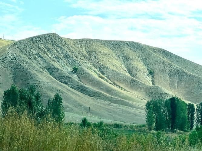
Beyond the Pavement: Tackling Xinjiang’s 4×4 and Off-Road Desert Trails
The First Time the Sand Let Go
I had been driving the Tarim Basin ring road for four days before I understood what the old Kazakh mechanic in Korla meant when he said, “The highway is for the nervous.” He was right. The paved G3012 gets you past the towns, but the real Xinjiang sits on the other side of a soft shoulder where the hardpack ends and the dunes begin. My first serious sand came 38 km southwest of Aksu, where a track peeled off the tarmac toward a dry riverbed the map only half-drew.
The front wheels bit, then slipped, then bit again. I felt the rear drop. The truck stopped dead with a low whump and a cloud that took minutes to settle. That was the moment I learned the difference between a 4×4 and a vehicle that can actually cross a desert. It is not the badge on the grille. It is ground clearance, tyre pressure, and a shovel you can reach without unpacking the whole roof box.
Where the Tracks Actually Are
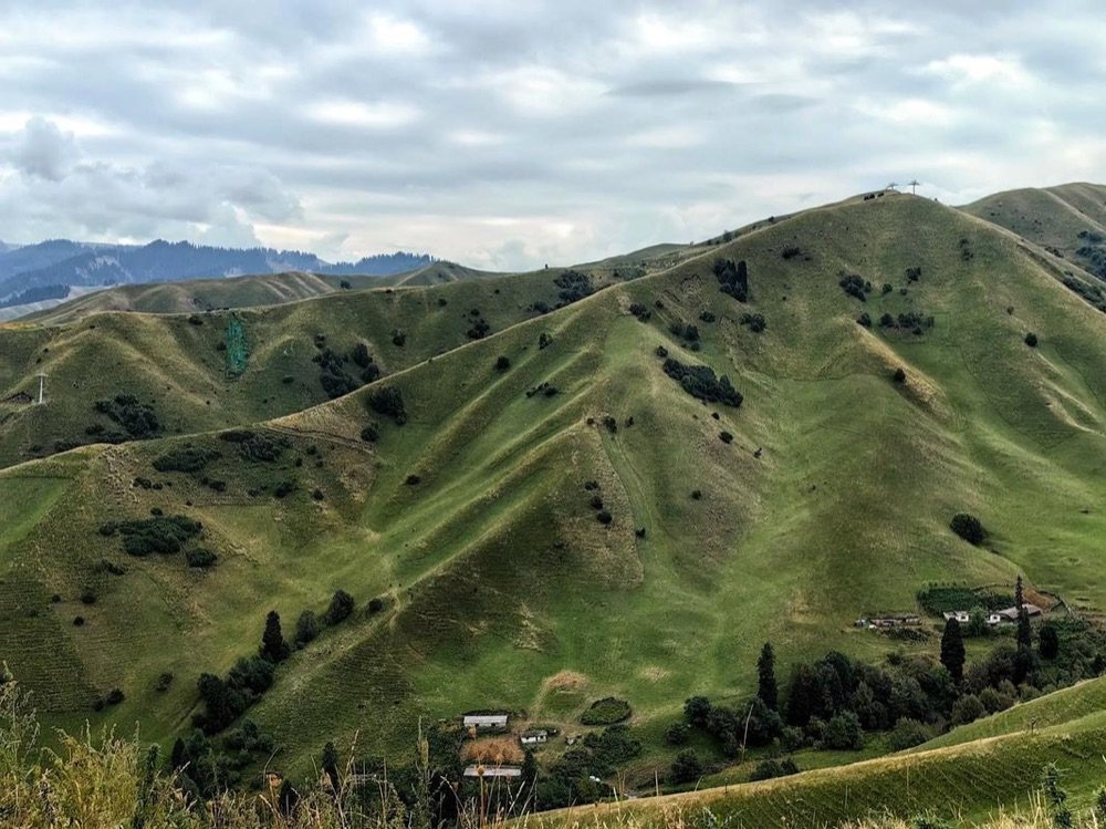
Xinjiang’s driveable sand is not one place. It is a ring of broken country around two great basins, plus the high passes that stitch the mountains together. Knowing which one you are in changes everything about how you set up the truck. I keep a folded paper map of the basins in the door pocket next to the GPS, because the screen goes blank in the same dead zones where the ground gets interesting.
Taklamakan’s Ragged Edge
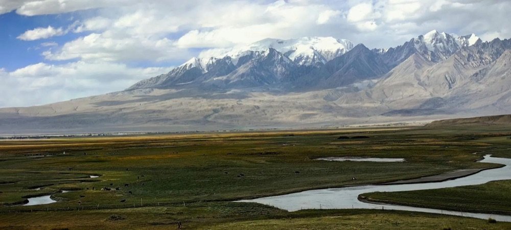
The Taklamakan is the second-largest shifting-sand desert on earth, roughly 1,000 km east to west and 400 km north to south. The Tarim River and its side oases draw a livable fringe, and that fringe is where most foreign self-drivers actually go. Tracks run from near Kuqa down past Luntai, around to Qiemo and back up the Hotan side. The famous desert highways (the G216 through the middle, the older G3012 along the rim) are paved and boring. The interesting lines are the unnumbered tracks that leave them.
Near the Taklamakan you are rarely more than 60 to 90 km from the nearest town, but the going is pure soft sand once you leave the hardpan. I ran a 22 km section northeast of Luntai where I never saw another vehicle and averaged 11 km/h. Plan your hours around that kind of pace, not the number on the road sign.
Kumtagh and the Turpan Pocket
Kumtagh sits just southeast of Turpan, an odd desert that reaches the city’s edge. The dune field here is compact and firm in the cool months, which makes it the easiest place to try sand driving for the first time. From downtown Turpan it is about 90 km to the main dune-access point near Shanshan. Entry to the managed dune area runs around ¥40 to ¥70 per person depending on season, and you can usually only drive the marked zone without a guide’s nod. I treat Kumtagh as a training ground before anything bigger.
Gurbantunggut in Winter
The Gurbantunggut is the smaller, colder desert north of the Tianshan, behind Urumqi and toward Karamay and the Junggar Basin. Its surface is often snow-crusted or frozen from late November to March, which sounds easier and is not. Frozen crust gives way without warning to soft pockets. I crossed a 40 km stretch between Fukang and the edge of the desert road one January at an outside temperature of minus 22 Celsius, and the truck behaved nothing like it did in summer sand. Go with a local who knows where the crust holds.
Mountain Passes
Away from the sand, the passes are the other half of off-road Xinjiang. The Dushanzi to Kuqa highway (the G217, often called the Duku road) tops out above 3,400 metres and closes from roughly early November to early June under snow. The switchbacks above the tree line are narrow, washed out in places, and unforgiving of a vehicle without decent clearance. For technique on those grades and hairpins, the mountain pass driving guide covers the line I wish I had read before my first white-knuckle descent.
Letting Air Out
This is the single most important thing nobody tells you until you are already stuck. On tarmac I run the truck’s tyres at 2.4 bar front and 2.6 bar rear. The moment the wheels leave hard ground for sand, I drop to between 1.2 and 1.5 bar all around. Lower pressure widens the tyre’s footprint, floats the vehicle on top of the sand, and stops the digging-in that buries you.
I carry a proper 12-volt compressor that pulls 35 litres per minute and a stick-on gauge I trust more than the dash readout. Reinflating four tyres from 1.3 back to 2.5 bar takes me about nine minutes at the compressor’s rated flow, plus the time to walk around. Do not skip the reinflation. Driving 90 km back to tarmac at 1.3 bar cooks the sidewalls and can throw a bead. My rule is simple: air down before the sand, air up before the road, every single time.
One more detail that saved me outside Qiemo: rock rash. The desert’s hard crust hides sharp fragments, and a deflated tyre is a thin tyre. I carry two spare tyres on long loops, not one. A single puncture at 1.4 bar is a ten-minute fix; a second one sixty km from anywhere with no spare is the start of a bad story.
Recovery Gear You Will Regret Leaving Behind
People pack a winch and call themselves ready. A winch is the last tool you use, not the first, and on solo sand trips it is often useless without an anchor. What gets you moving again, in order of how often I actually reach for it:
A pair of recovery boards. I run composite boards rated to 10 tonnes and have used them on maybe every third sand outing. You dig the nose clear, lay the boards under the driving wheels, and ease on with momentum. Cost was about ¥480 for the set, and they have paid for themselves twice over.
A long-handled shovel. Not the folding toy. A full steel shovel, ¥60 to ¥90, that bites into wet sand. Most of my “stucks” are cleared in three minutes of digging plus boards. A shovel is lighter, cheaper, and more useful than a winch for nine out of ten situations.
A winch rated at least 1.5 times your vehicle’s gross weight, plus 20 metres of rated synthetic rope and a tree strap. A quality 9,500-pound winch runs ¥3,000 to ¥5,500. Airing down properly means you rarely need it, but when you do, nothing else works.
Air compressor, tyre gauge, two spares, a tyre repair kit with plugs and a reamer, and a ground mat to kneel on so you are not eating sand while you plug a hole. I also keep a sat-phone or the Beidou messenger, because mobile signal dies about 15 km past the last oasis on most tracks.
If something does break beyond a plug and a board, the roadside repair and mechanic guide lists the towns where I have actually found a workshop that would touch a foreign-plated 4×4. Kuqa, Korla, and Aksu are your best bets south of the mountains.

Fuel and Range Math
Desert driving burns more than tarmac, and the stations are far apart. My diesel 4×4 holds 80 litres and returns about 11 litres per 100 km on the highway. In soft sand, low-range crawling, that jumps to 16 to 19 litres per 100 km. So my comfortable 720 km highway range collapses to roughly 420 to 480 km off-road, and I never let the tank drop below a third before planning the next fill.
That math drove a hard lesson near the Taklamakan’s south side. The last reliable station was in Minfeng; the next was 340 km away across country I knew had deep sand. Between the detour to a dry lakebed and slower going than planned, I rolled back into Minfeng with 11 litres left and the low-fuel light on for the last 28 km. I now carry two 20-litre jerry cans (¥3,200 of fuel capacity) on any loop longer than 250 km from a town.
Diesel is the right call for remote Xinjiang. At 2026 prices a litre runs about ¥7.2 to ¥7.8, so a full 80-litre tank is roughly ¥580 to ¥620, and the two cans add another ¥290 each. Cheap insurance. For longer range planning, the desert fuel range guide lays out every station gap I have mapped on the southern and eastern circuits.
Papers, Permits and the Local Guide
Foreign travellers in Xinjiang face checkpoints, and the rules around where you may drive unaccompanied shift. Along the main deserts the border regions nearest the frontiers (the far southwest toward the Pamir, the stretches near military zones) require permits you apply for through a registered agency, usually 3 to 5 working days ahead, at a cost around ¥200 to ¥400 in agency fees on top of any park entry. The Taklamakan rim and Kumtagh tourist zones are straightforward, but do not assume a track is open just because it shows on your offline map.
A local guide is not a luxury on the serious lines. I paid ¥600 per day for a Uyghur driver-guide out of Kuqa who knew which riverbeds were firm in April and which had turned to soup. On a four-day Taklamakan fringe loop that was ¥2,400, plus his food and a shared room, and it bought me access to tracks I would never have found and a man who could talk us through the three checkpoints without a hitch. The self-drive rules and road conditions guide explains the checkpoint drill and the documents you must keep on the dash at all times: passport, visa or residence permit, and the vehicle’s rental or temporary import papers.
For a taste of long-distance desert highway without the sand risk, the S21 desert expressway from Urumqi to Altay is the smoothest way to feel the scale of the country before you commit to going off it.
A Sample Loop Worth Running
If you want one route that strings all of this together, I suggest starting in Korla and heading west on the G3012 to Luntai (about 160 km), then turning north onto the Duku road toward Dushanzi for the mountain pass experience (roughly 250 km of serious grade). Drop back south and run the desert fringe east from Kuqa toward the Taklamakan edge for two days of sand tracks, then recover in Aksu before looping home. Total distance around 1,100 km, fuel budget about ¥1,300 including cans, and four to five days if you actually stop to drive the sand.
Pack the boards, drop the pressure, fill the cans, and find a local who knows the ground. The pavement will always be there to bring you back. The sand is the part you came for.