
Ebinur Lake: The Salt Lake You Keep Driving Past
I have driven past Ebinur Lake perhaps eight times without stopping. Everyone does. The G30 expressway runs along its northern edge between Kuytun and Bole, and from the driver’s seat the lake reads as a white glare on the left with wind turbines standing in it. It looks like nothing. Then one October I finally turned off, spent an afternoon on a boardwalk at the delta of the Aqikesu river, and understood that I had been speeding past one of the strangest landscapes in northern Xinjiang for years.
Ebinur — Aibi Hu in Chinese, sometimes written Ayibi or Ebi — is a shallow terminal salt lake in Jinghe County, at the bottom of the Junggar Basin’s western dip. Terminal means water arrives and never leaves except upward. Whatever the rivers carry in stays, concentrates, and eventually crusts.
A lake that keeps changing size
The numbers here are slippery in a way that is genuinely interesting rather than an excuse for vagueness. Ebinur’s surface area fluctuates hard with inflow and evaporation. Historical accounts describe something on the order of a thousand square kilometres; through the second half of the twentieth century it shrank badly as upstream irrigation took the rivers, and figures in the range of 500 square kilometres or lower were common. Restoration work and better water allocation have pushed it back up in recent years. In any given season the shoreline can move by hundreds of metres.
Average depth is the part that surprises people: roughly a metre and a half to two metres in most of the basin. You could wade a long way. You should not — the bottom is soft, sticky mud under a salt skin, and I sank to mid-calf in about four steps and needed both hands to get a shoe back.
The salinity is high enough that the water feels slick, and when the wind pushes a rim of foam up the shore it dries into a crystalline crust that crunches like frozen snow. In late autumn light the whole margin goes pink and pewter and the wind turbines behind it look faintly absurd, like a science-fiction set built in the wrong place.
The wind is the main character
Ebinur sits at the eastern mouth of the Alataw Pass, the gap in the mountains that funnels air between the Junggar Basin and the Kazakh steppe. This is one of the windiest places in China. The pass records gale-force wind on well over a hundred days a year, and the reason there is a forest of turbines here rather than anywhere else is exactly that.
For a traveller this means two things. First, sand and salt dust get lifted off the dry lakebed and moved east in serious quantity — this basin is a significant source of the dust that greys out skies as far as Urumqi. Second, your visit is at the mercy of it. On a calm day the lake is a mirror and the reeds stand still. On a windy day you cannot open the car door comfortably and there is no view at all, only a horizontal beige nothing. Check the forecast, and read our notes on driving through Xinjiang dust storms before you plan a day around this stretch of the G30, because the expressway between Jinghe and the pass gets closed to high-sided vehicles more often than any other section I use.
Birds, and why the reserve exists
The delta wetlands on the southern and western shores are protected as a national nature reserve, and they are a serious migratory node. The combination of open shallow water, brackish marsh and freshwater river mouths supports flamingo-pink concentrations of waders in spring and autumn, and I have watched swans, various geese, avocets, and a great many gulls I could not identify from a boardwalk hide on the Aqikesu delta.
Spring passage runs roughly late March into May. Autumn is broader, September through early November, and in my experience richer. The reserve core is not open for wandering — this is genuinely a protected area and there are zones you must not enter — but the managed boardwalk sections give plenty.
Bring binoculars. Bring more layers than the temperature suggests, because the wind takes ten degrees off any reading.
Practical access
Jinghe County town is the obvious base, sitting on the G30 and on the railway. It is a small, plain, functional place with a handful of chain hotels around ¥150 to ¥250 a night, several Hui noodle houses, and a lamb skewer street that comes alive after nine. Nobody comes to Jinghe for Jinghe. It works fine for a night.
From the county town, the drive south and west to the accessible shore sections is roughly 40 to 60 kilometres depending which entry you use, on decent county roads that turn to gravel near the water. The last few kilometres cross salt flat. Do not drive off the graded surface, ever, no matter how firm the crust looks. I have seen a stuck 4×4 being dug out by four people with shovels, and the driver told me he had gone six metres.
There is a nominal reserve entry fee at the managed section — I paid ¥40 — and a small visitor building with toilets and a room of information panels. Facilities beyond that are thin. Take your own water and food.
Combining it with a real itinerary
Ebinur alone does not justify a detour from the other side of the region. It justifies a stop. The natural pairing is with the Bortala corridor, and if you are already heading toward the frontier the sequencing is easy: come down from the mountains, do the lake, then continue. Our Bortala and Bole guide covers the prefecture’s towns and the run out to the pass.
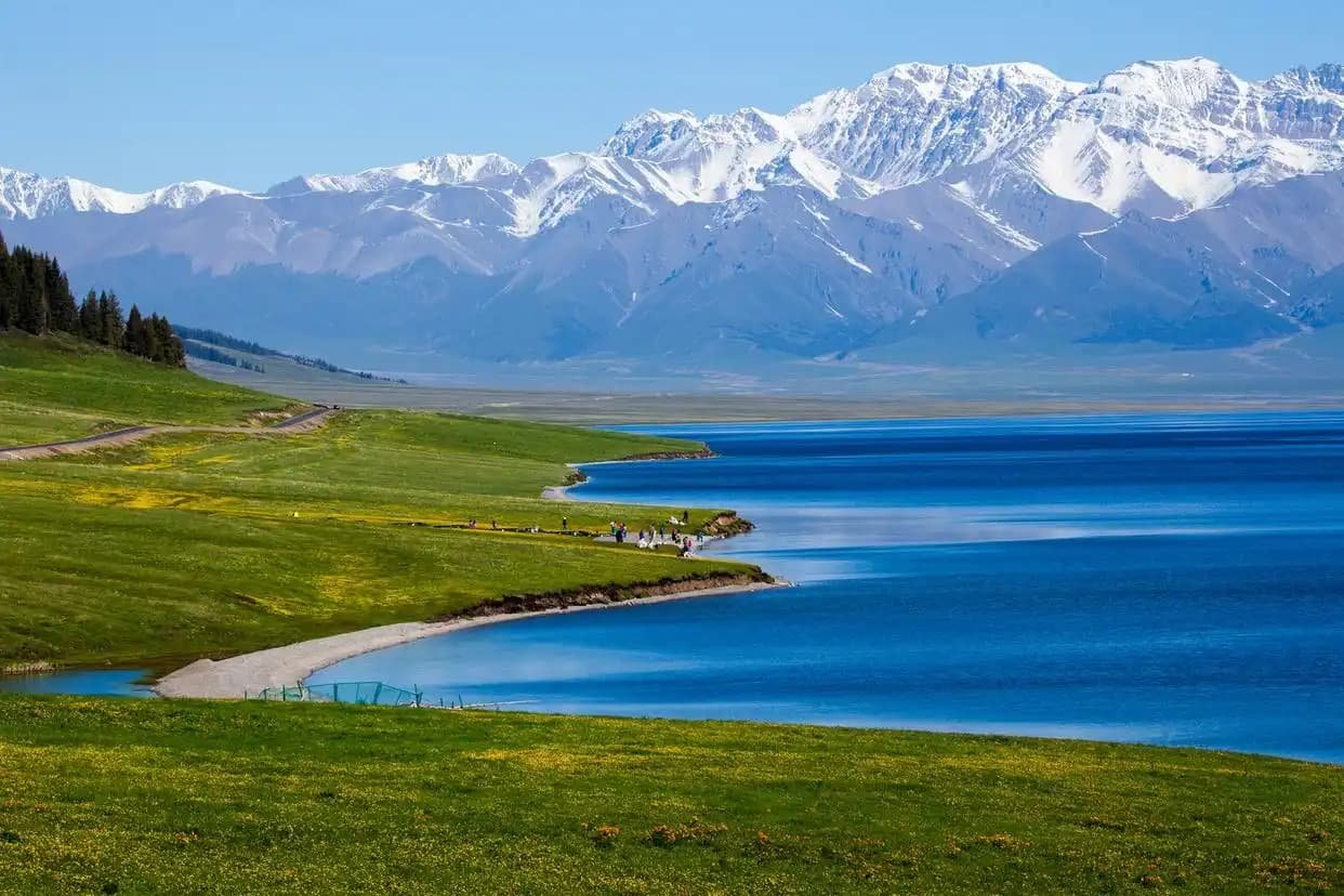
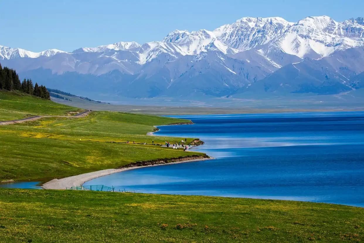
Most travellers arrive here having just come from the alpine water an hour to the south, and the contrast is the reason to bother. A morning at Sayram Lake — deep, cold, blue, ringed by grassland at 2,070 metres — followed by an afternoon at Ebinur, shallow and saline and dying and coming back, is one of the more instructive days you can build in Xinjiang. Two lakes, ninety minutes apart, at opposite ends of what a lake can be.
If you are continuing to the frontier itself, the trade city up at the pass is about two hours further; the Khorgos border port guide covers that, though note Khorgos and Alataw Pass are two different crossings and travellers mix them up constantly.
Salt, industry and the human edge of the lake
Ebinur is not a wilderness. It is a working landscape, and understanding that makes the visit more interesting rather than less.
The lakebed and its margins hold commercially useful mineral deposits — sodium sulphate above all, along with salt and other evaporites — and extraction has been going on here for decades. Driving the southern approach you pass settling ponds in geometric rectangles, some a startling shade of green, and low white spoil ridges. There are pumping stations, a scatter of industrial buildings, and trucks on the gravel.
Upstream, the rivers that feed the basin — chiefly the Bortala and the Jing — have been progressively diverted for irrigated agriculture since the middle of the twentieth century. That is the mechanism behind the shrinkage: not climate alone, but cotton, wheat and orchards taking water that used to reach the lake. The counter-effort in recent years has involved allocating ecological flows back to the wetlands, planting shelterbelts of desert-tolerant shrubs to hold the exposed lakebed, and restricting the worst of the extraction near the reserve core.
You can see all of it in an afternoon: the diverted river, the shrunken lake, the exposed saline bed, the dust it produces, the shelterbelt plantings trying to hold it down, and the wind farm harvesting the same gale that carries the dust away. Very few landscapes lay out their own problem this legibly.
The reeds and what lives in them
The freshwater margins where the rivers arrive are a different world from the salt pan. Reed beds run tall and dense, and in places the phragmites stands are well over head height, cut in winter for fodder and matting.
Fish live in the fresher sections — carp species mostly — and there is small-scale fishing, though the saline main body cannot support much. On the reserve boardwalks in October I have watched harriers hunting low over the reeds and heard far more birds than I could see. Amphibians and small mammals use the margin, and there are records of wild boar in the denser cover, which I have not seen and would not want to meet on foot.
One genuinely useful piece of advice: the mosquitoes in the delta between June and August are severe. I have been driven back to the car within ten minutes in July. Bring repellent and consider covering up entirely. This is the single most common complaint I hear from people who visited the wetland in summer, and it is why autumn is the better bet even setting aside the migration.
Photographing it
This is a hard place to shoot well and an easy place to shoot badly. The problem is that mid-day gives you a white sky above a white flat with no tonal separation at all. Everything I have that works came from the last ninety minutes of light, when the salt turns warm and the water holds the sky.
Long lenses help more than wide ones. The material here is compression: turbine blades stacked behind a line of gulls, a rim of salt crust against dark mud, reed silhouettes. Wide angle just gives you an empty frame with a seam through the middle. Our general advice on timing golden hour across Xinjiang is directly relevant, and the region’s late sunsets mean you can shoot until nearly ten in June.
Protect the gear. Salt dust plus wind is genuinely destructive; I now change lenses inside the car with the doors shut, having learned otherwise.
Practical notes before you set off
A few unglamorous things make the visit easier. Fuel in Jinghe town before you turn north; there is no reliable fuel at the lake and the detour back is a slog. Bring your own water and food — the southern approach has a single seasonal drinks stall at best, and nothing on the salt side. Sunglasses and a buff for the face are not optional in wind: the saline dust gets in everything. Binoculars matter more here than a camera; most of the birds are distant specks on the water, and you will enjoy the place far more if you can actually see them. Allow half a day if you want the boardwalks and the approach both, and an hour more if you are stopping to photograph.
Should you go?
Not if you have five days in Xinjiang. There are twenty places I would send you first.
Go if you are already driving the northern corridor, if you have any interest in birds, or if the thing that draws you to a landscape is the sense of a system under strain — a lake fed by rivers that get taken upstream, refilling slowly because someone decided to give the water back, throwing its own dust into the sky of a province downwind. It is not beautiful in the way the grasslands are beautiful. It is a place where you can see the arithmetic of water in a dry country written out on the ground, and I find I keep thinking about it long after the prettier stops have blurred together.