
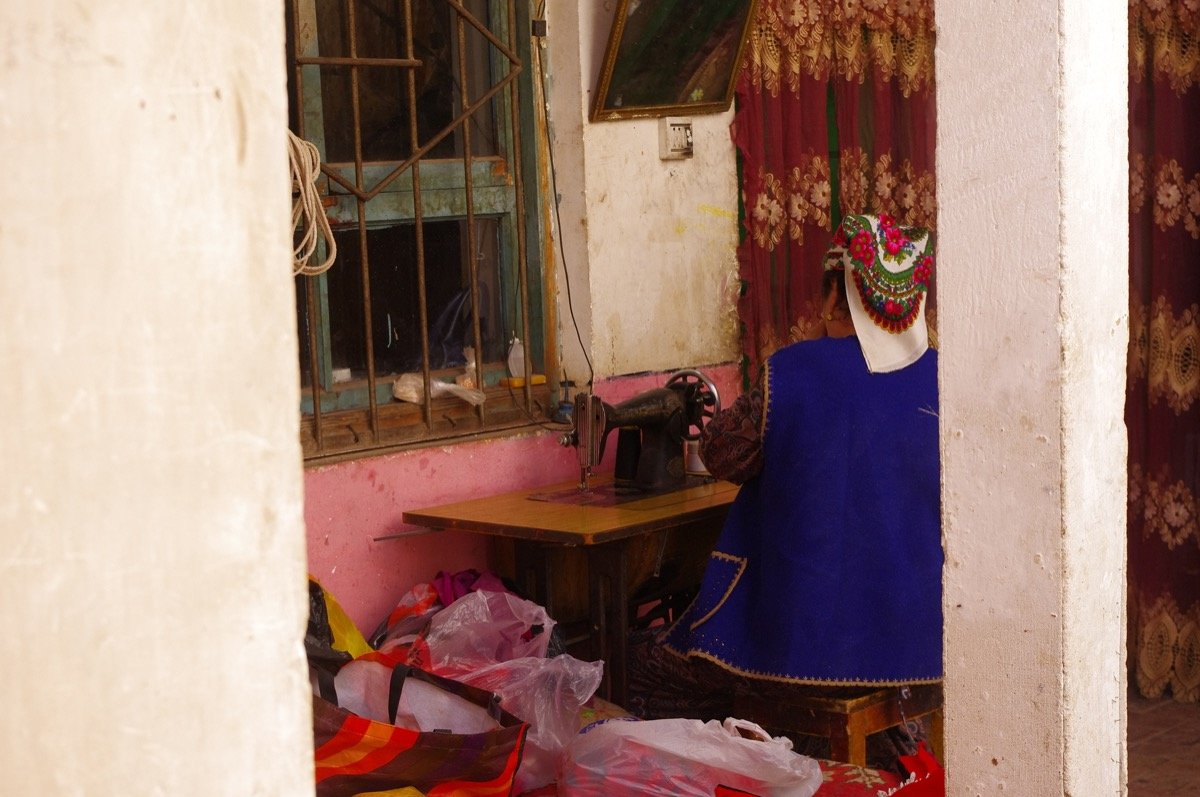
Koktokay (Fuyun) and the Irtysh Grand Canyon: A Self-Drive into Xinjiang’s Northern Wild
I drove the 480 km north from Urumqi to Fuyun in a single grey morning, the road unwinding from the basin floor into the cold blue country of the Altai foothills. Most travelers point their cars at Kanas and skip the geopark entirely, which is a mistake I was happy to make for myself. Koktokay, also written Keketuohai, sits in a tight valley where the Irtysh River has sliced a canyon hundreds of meters deep through granite that glows red at sunset.
The drive north from Urumqi
The quickest line is the S21 desert expressway from Urumqi to Altay, a toll road that drops the distance to roughly 480 km and lets you reach Fuyun before lunch if you leave the city at dawn. I filled the tank at a station on the northern edge of Urumqi the night before, because the desert stretch has long gaps between fuel stops and a near-empty gauge wears on the mind. The expressway is smooth and almost empty in October, with the Gurbantunggut Desert flat on both sides and the first pale mountains appearing near the town of Wucaiwan.
Fuel, the S21, and signal
From the expressway you turn east at Fuyun, a small county seat that has grown fast in the last decade as tour buses discovered the geopark. The final 23 km from town to the park gate is a two-lane road that follows the Irtysh, and I remember the moment the canyon walls first showed themselves as a band of rust-colored rock above the poplars. Give yourself a full day on the road if you want to stop for photos, and carry paper maps or a cached offline set because signal fades in the gorge. My route planning came from a solid self-drive offline maps and navigation guide that I had saved before leaving the city.

I stopped once at a roadside noodle shop in Fuyun for laghman and a cup of brick tea, and the cook laughed when I said I had come all the way from the south just to see rocks. Those rocks turned out to be the whole point of the trip.
The toll for the S21 runs about ¥70 in a standard car, paid at the gantry by card or phone, and the drive from the Urumqi edge to the Fuyun turnoff took me just under six hours with one stop. The desert on either side is not empty; I passed wind farms, a salt lake shimmering white at distance, and twice a line of camels crossing the verge under the eye of a herder on a motorbike. The road is new enough that some older maps still show the old G216 loop, which adds a hundred kilometers and a slow pass through the hills.
Fuyun town and the park gate
Fuyun, the county seat that serves Koktokay, is where you buy the ticket and where most visitors sleep. The geopark entry costs ¥90 in the high season and drops to around ¥45 in the off months, with a separate shuttle bus fee of roughly ¥36 that you almost have to take because private cars cannot drive the inner valley road. Gates open at 09:00 and the last shuttle out runs near 19:00 in summer, earlier in autumn when the light dies by 18:30.
The visitor center has a small museum on the rare-metal mining that once defined this place, and I spent twenty minutes there before the shuttle. The geology here is why the park exists: a belt of pegmatite veins rich in lithium, beryllium, and tantalum, mined through the cold decades and now left as tailings terraces you can walk past. It is strange to stand in a World Geopark that was, not long ago, a working mine with its own camp and a railway built to haul ore south.
Fuyun itself is a forgettable town of wide streets and low blocks, but it has a good night market in autumn where I ate grilled corn and a plate of cold noodles for ¥15, and watched the locals promenade with thermoses of tea. The air there carries a metallic cold that told me I was closer to Siberia than to the Turpan vineyards, and I slept with the window cracked to hear the river moving through the dark.
Zhonggui Peak and the Spirit Gateway
The granite massif at the heart of Koktokay is called Zhonggui, and locals name its twin spires the Spirit Gateway. I craned my neck from the shuttle window as we passed the first outcrop, a wall of weathered stone split into blades that catch the low sun like lit coals. The main walking loop runs about 4 km from the Shen Zhong Shan area to the gorge mouth, and the path is graded gravel, easy enough in trainers though I was glad for a wind shell when the wind came down the valley.
What struck me was the scale. These are not decorative garden rocks but a mountain of granite that the Irtysh has been carving since before humans arrived, and the silence up there, broken only by the river, felt older than any town I had passed. Climbers rope up the clean faces in autumn, and I watched two of them move like ants across a slab that must have been two hundred meters tall. The rock is a pale grey-pink gneiss, cold to the touch even at noon, and the grooved surfaces show the work of ice as much as water.
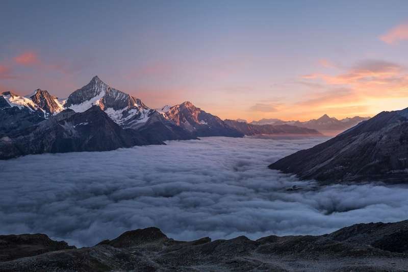
There is a viewing platform partway up the loop where the rail gives way to a wooden deck, and from there the whole massif opens to the north. I ate the apple I had bought in Fuyun and watched a hawk ride the thermals off the stone, wheeling without a single flap for minutes at a time. The geology panel at the deck explained the granite is part of a larger batholith that underlies much of the Altai, the same source of metal that made this valley rich and then poor again.
The Irtysh Grand Canyon
The canyon is the reason the geopark carries the name it does, and the reason I had driven so far. The Irtysh is one of the few great rivers of Asia that flows north, away from the warm interior and out toward the Arctic through Kazakhstan and Russia, and here it has cut a gorge that drops more than 100 meters below the rim in places. A wooden boardwalk runs along the south wall for several kilometers, and I walked it slowly, leaning over the rail where the water flashed green and white over boulders.
The boardwalk and the blue hour
The gorge changes color through the day. Morning light lands flat and cold on the wet rock; by midday the walls go a warm ochre; and at the blue hour the whole cut fills with a purple shadow that makes the birches on the far bank glow. I sat on a bench near the middle of the walk for an hour and let the noise of the river do its work. Bring water and a snack, because the shuttle drops you at one end and picks you up at the other, and there is nothing to buy inside the canyon.
If you want a longer day, the trail continues past the main overlook toward a narrower slot where the river turns a corner and the walls close to arm’s length. I did not have the light for it and turned back, but a German couple I met at the gate said the far end was worth the extra two hours. The wind in that slot has a sound like a train, they said, and the spray leaves the rail slick.
Down at the water the Irtysh runs cold and clear, and in the calm pools you can see trout holding against the current, gray shapes that flick away when a shadow passes. A footbridge crosses near the lower shuttle stop, and I crossed it both ways just to feel the river under my feet and watch the light move along the opposite wall. The bridge planks creaked, and the drop below was enough to keep my eyes on my shoes.
Emir Lake and the mineral valley
Above the canyon, the valley opens into a quieter world of meadows and a small alpine lake the maps call Emir Lake. The shuttle stops here and most people photograph the water, then walk back, but I took the loop that circles the shore and found it nearly empty at that hour. The lake is fed by snowmelt and stays a cold steel blue even in late September, ringed by sedge and the occasional herd of sheep driven down by a Kazakh family from the higher pasture.
The mineral story is everywhere in this valley. The hills are striped with the old mining cuts, and the soil near the stream carries a grey, almost metallic sheen that the guides explain is the pegmatite tailings. You are not supposed to scramble on the unstable slopes, and I did not, but standing close to the water I could see how the same geology that fed the mine also made the place beautiful. It is a rare spot where industry and wilderness share the same photograph, and the contrast is the thing I remember best.
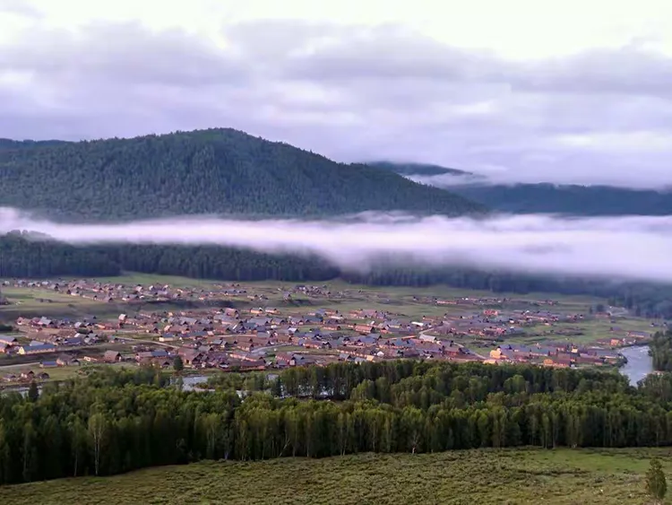
A Kazakh family had pitched two yurts on the far side of the meadow, and the woman waved me over for a bowl of milk tea that tasted of salt and smoke. Her children chased a dog through the sedge while the sheep grazed the thin grass, and for a while I forgot the mine and the museum and the road that had brought me. This is the working altitude pastoralism that still defines the Altai, and the geopark’s quiet upper valley is one of the few places where you can stand in a protected landscape and still see it lived in.
Birch fire in October
I came for the autumn. The birch that lines the valley floor turns a clean, electric yellow in the first weeks of October, and against the dark granite and the blue river it reads like a lit match dropped in a stone room. Locals told me the color holds for about two weeks, usually from the first to the middle of the month, and after that a hard frost takes the leaves overnight. Time your drive for that window and the geopark is the best leaf-peeping in northern Xinjiang.
The autumn window
The birch tunnels along the canyon boardwalk are the easy win, but the real show is up by Emir Lake where the trees open into the meadow. I walked out past the last bench and stood in a stand of silver trunks with leaves rattling like paper, the only sound beyond the river a distant horse bell. If you want to compare foliage regions, the golden poplar forests farther south offer a different but related spectacle, and I kept notes from a golden poplar forest self-drive guide for a later trip. The poplars turn a deeper gold and hold longer, but they lack the birch’s silver bark and the cold river at their feet.
For photographers the rule is simple: shoot the canyon birches in the morning when the sun is behind you and the trunks catch the warm side light, and shoot Emir Lake in the late afternoon when the meadow glows and the mountains behind go blue. A polarizer helps cut the glare off the water, and a tripod is useless on the busy boardwalk but worth carrying for the lake at dusk. I shot two cards full and deleted half, which is the right ratio for a place this photogenic.
Tickets, gates, and where to sleep
Practical matters, because the park is remote and the season is short. Buy your ticket at the Fuyun visitor center, not online if you can avoid it, because the shuttle timetable changes with the light and the staff at the desk know the day’s last run better than any app. Carry ¥200 in cash as a backup even though cards and phone pay work at the gate, since the small noodle shops in town sometimes have a dead reader and the canyon has no services at all.
Sleep in Fuyun rather than inside the park. The county has a row of clean budget hotels near the bus station at roughly ¥180 a night, and a couple of newer places with heating and hot water at the ¥320 mark. I ate dinner at a small halal spot off the main road, lamb skewers and a bowl of rice, then walked back through a town that goes quiet by ten. The altitude here is modest, around 1,200 meters, so nobody gets sick, but the nights in October drop near freezing and the hotel heater was welcome.
Keep the tank full
Fuel is the other thing to plan. Top off in Urumqi and again in Fuyun; the next reliable station north is in Altay, more than 200 km away, and the geopark itself has none. A motorcycle touring and self-drive guide I read before the trip stressed the same point, and a rider at the hotel confirmed the stretch between Fuyun and Altay is long and thin on services. I carried a spare jerry can after that conversation, though I never needed it.
Food in Fuyun is hearty and cheap. Beyond the noodle shop and the night market I found a bakery selling round sesame bread for ¥3 that kept me going through the cold mornings, and a grocery where I stocked water and chocolate for the canyon. There is no need to overpack, but the park has no shops inside the gate, so the Fuyun stop is your last real chance to buy. I learned this the first day when I arrived at the shuttle with an empty bag and a long walk ahead.
North to Altay and the road home
When I left Koktokay I did not turn back south. The road east from Fuyun joins the corridor that runs up to Altay, the city that anchors the far north of Xinjiang and the jumping-off point for Kanas and the Kazakh border. That leg is about 220 km of good highway through rolling grassland and the occasional herder’s camp, and it makes a natural loop if you have a week and a rented car.
I reached Altay by late afternoon and found it colder and greener than Fuyun, with poplars already down and the first snow on the mountains behind the city. From there the S21 carries you back to Urumqi in a day, or you can fly. Either way the geopark had done what I hoped: shown me a corner of Xinjiang that the big bus routes miss, where the rocks are the attraction and the river runs north on purpose. If you build your own northern loop, a terraced fields self-drive guide near Qitai pairs well as a southern bookend, and the S21 expressway guide covers the long highway in full.
Altay city surprised me with a small but sharp museum of the region’s nomads and its winter, and a pedestrian street where the evening crowd eats roasted chestnuts and watches the mountains go dark. I spent one night there, parked the car, and walked until the cold drove me back to the hotel. From Altay the loop can bend west to Kanas or simply reverse down the S21, and either way Koktokay sits comfortably as the quiet, stony heart of the northern drive.
I would go back in a harder cold, just to see the granite under snow and the birch stripped to silver.