
Kalpin County red rock badlands: a self-drive guide from Aksu
The wrong turn that found the red rock
I missed the turn near Kalpin town on purpose, more or less. The navigation had given up about thirty kilometres back, the screen showing a grey blank where the road should be, and I followed a worn track north because the ridges ahead looked like someone had folded the earth and left it out to dry. That track is where I first understood what Kalpin County actually is. Not a sight, not a ticket gate, not a thing you do. A country of red and grey rock folded into sharp ribs, with no one selling you anything and no fence telling you to stop.
Kalpin sits in Aksu Prefecture on the north-west rim of the Tarim Basin, and it is geologically famous for a reason most travellers never hear. The strata here are Palaeozoic, sharply folded, exposed by wind and time into ridges that read like a relief map of the ground beneath your tyres. When this was seabed, creatures died and settled into the stone. Some of those creatures are still in there, and that is both the draw and the trap, as you will see.
Getting to Kalpin
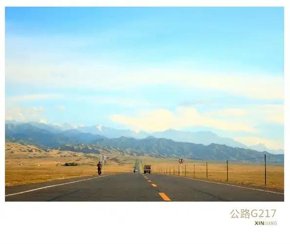
Kalpin town is roughly 200 km west-south-west of Aksu city. The practical route is the G3012 Aksu-Kashgar corridor, the fast four-lane that carries the long-haul trucks, then a turn onto the county roads that climb off the basin floor toward the folded country. I drove it from Aksu on a Tuesday and the G3012 stretch was dull and fast, two and a half hours of straight road and speed cameras, before the county turn loosened everything up.
If you are building a southern Xinjiang loop, think of Aksu as the gateway to canyon country, because Kalpin is only one of several red-rock and folded-mountain destinations reachable from there. I used Aksu as a base for three days, resupplying and sleeping in a real bed, then pushing out each morning into country that has almost no tourist infrastructure. That rhythm suited the place. You go in, you look, you come back to water and a wall socket.
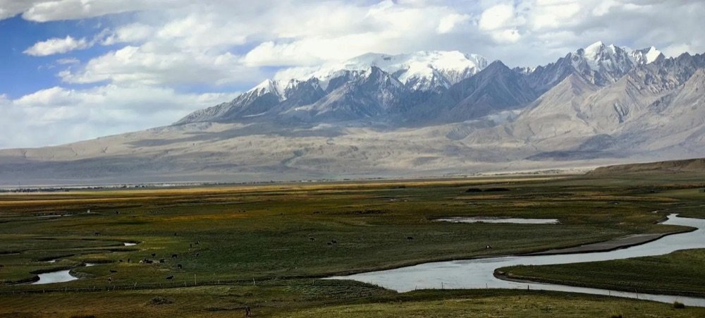
The county road itself is the first lesson. The sealed surface ends sooner than the map implies, and the last stretch into the ridges is graded earth that the county grader visits when it feels like it. Ask in Aksu before you commit if rain has fallen up north, because that is the variable that turns a dusty drive into a stuck-one.
Driving up into the folded ridges
The climb off the basin floor is the part you remember. The road surface changes without warning: sealed, then patched, then hard-packed earth rippled into a washboard that rattles your teeth at anything over 30 km/h. I dropped to first gear in places and still felt the suspension complain. The ridges close in, red on the left, grey on the right, and the track picks between them like a dry riverbed because in a wet year it is one.
Take it slow and you are fine. The danger is impatience, the urge to keep speed up on a straight and meet a hidden dip at 60. I bottomed out once on a crest and spent twenty minutes checking the sump with no signal and no help, which is exactly the situation you avoid by going gently and carrying spare water. The ridges here are not a challenge to conquer. They are a place to move carefully through.
I lowered my tyre pressure to about 1.8 bar before the loose sections, which sounds risky but on sand and washboard it buys grip and spares your spine, then aired back up on the sealed road before rejoining the G3012. A cheap foot pump lives behind my seat for exactly this. The ridges are soft to climb if you pick a line up a dry gully rather than charging the face, and I walked the first one I attempted to read the surface before I ever drove it. That ten-minute walk saved me a stuck afternoon.
Why dawn and dusk change the rock
The red rock is honest about light. At noon it is flat, a brownish wall under a white sky, and you wonder why you drove so far. At dawn the eastern faces catch a low sun and turn the colour of a struck match, deep orange with shadows cutting every fold into relief. At dusk the whole range goes the colour of embers and holds it for maybe twenty minutes before the cold blue of desert night takes over.
I planned both my visits around the edges of the day and spent the hot middle hours in the shade of the car or back in town. The photography is the easy reward. The harder one is just sitting, because a folded ridge at the right light does something to your sense of time, and Kalpin gives you nothing else to do, which is the point. Bring a chair and let the rock perform.
On my second morning a fox crossed the gully below me, unbothered, and the light was so low it turned the animal the same orange as the rock. Those are the minutes you cannot photograph and cannot forget, and they are why I argue for two visits rather than one. One dawn, one dusk, and the ridge tells you two different stories about the same stone, neither of them the flat brown wall you saw at noon.
The fossils, and the rules you cannot break
Now the trap. Kalpin’s marine beds hold brachiopods, trilobites and crinoids, the shells and shapes of creatures from when this ground was ocean floor. They are visible in the loose stone, and the urge to pick one up is real. Do not. The rules here are not polite suggestions. Look, photograph, and leave everything exactly where it is. Never collect a fossil, never buy one from anyone who offers, and never, under any circumstance, try to take one out of the country. China protects its geological heritage hard, and a fossil in your bag is a criminal matter, not a souvenir.
I saw a man at a stall near the county road with a tray of “interesting stones” and walked straight past. The right souvenir is a photograph of the ridge with the sun on it. If you want to understand the geology without the temptation, read up before you go and treat the beds as a museum you are not allowed to touch. The rock is the oldest thing you will stand near all trip, and it owes you nothing.
The beds themselves are easy to spot once you know the shape: small raised rings like tiny button shells in the grey stone, or long jointed marks that are crinoid stems. A phone macro shot captures them better than any stone you could carry, and the geology office in Aksu sells a cheap field booklet if you want names for what you are seeing. Learn the names, leave the stones, and you leave with more than the collector ever gets.
Heat, water and the silence of no signal
Summer in Kalpin runs past 40C and offers no shade worth the name. The rock radiates heat back at you and the wind is hot. Water discipline is not optional. I carried six litres per person for a half-day out and drank most of it, and I never left the car without the full bottle clipped to my belt. There is no shop, no tap, no anything once you are up in the ridges, and the town you left is a long, slow drive back over washboard.
Signal dies the moment you leave the county road, so download your maps and tell someone your plan before you go. I ran a paper note of the route taped to the dash as a backup, old-school but calm-making when the screen went grey.
Altitude here is modest, roughly 1,000 to 1,500 m, so thin air is not the problem the heat is. The heat builds through the morning and peaks around 3 pm, which is exactly when you might fancy a walk, so I learned to be off the ridge by then and back on the basin floor in some shade. A wide hat and long sleeves sound counterintuitive but they beat sunburn, and every local driver dresses that way for a reason you understand the first time the sun finds your neck.
The silence is part of the draw and part of the risk, and you respect it by being boring: full tank, full water, charged phone, and a turn-around time you honour even when the light is perfect.
After the rain, the mud
Kalpin is dry for most of the year, but when rare rain falls up north it runs down these channels fast. The same track that was a dust ribbon in the morning becomes a mud flat by afternoon, slick and grabby, and vehicles that charged it get stuck to the axles. I watched a local pickup sit for hours waiting for a tractor because the driver had pushed a wet section at speed.
The colour of the track tells the story before you feel it. A pale track is packed and firm, almost crunchy under the tyres. A dark track has taken water and turned to slip. I once watched the same gully go from bone-dry at 9 am to a running stream by 4 pm after a storm thirty kilometres north that I never saw. Water in this country moves faster than the weather you can see, and the ridge channels funnel it straight onto the track you are standing on.
The rule is simple. If the sky has opened anywhere upstream in the last two days, do not go up. Wait a day, ask in town, and watch the colour of the track. Pale and firm means go slow. Dark and glossy means turn around. The ridges will be there tomorrow, and a recovered vehicle is worth more than a photograph taken an hour too early.
Lamb, and the simple county food
Kalpin has a quiet reputation for lamb, and the county town feeds you in the plain way the region does: grilled skewers, a bowl of noodles, a plate of pilaf with carrot and meat. Nothing fancy, nothing written down, and the portions are real. I ate at a row of stalls near the market in the evening and paid about ¥25 for a plate that fed me twice. The bread came warm from a clay oven and the tea was free and endless.
The county town also bakes its flat bread in a cone oven you can watch through the side, and a warm loaf with a handful of local raisins made a breakfast that carried me up the ridges without a stop. If you are self-catering the drive, buy that bread and a bag of dried fruit here rather than in the city, because the local stuff is cheaper and fresher and the stall holders will press extra into your hand once they see you actually eating it. That small exchange, pointing and nodding and chewing, was the warmest welcome Kalpin offered.
This is the other reason to base yourself in Aksu and day-trip: you earn the simple food by spending the day in a hard landscape, and the contrast is the meal. Carry your own water and fruit for the drive, but let the town feed you at the end. It is cheap, it is good, and it is exactly the right reward for a day among rock that does not care whether you came.
Where to point next
Kalpin is one stop on a red-rock thread that runs through southern Xinjiang, and it pairs well with bigger, more built-up sites if you want the scale without the solitude. To the north, the layered walls of Wensu Tomur Grand Canyon show the same folded geology on a vast, managed scale. East toward Bachu, the red rock of Bachu’s Red Bay gives you water and colour together, a different mood entirely. For walking rather than driving, hiking the red rock of Tianshan Grand Canyon is the move when you want your boots on the strata.
And since you are already in this corner of the prefecture, the Buddhist caves near Kuqa at Kizil are a half-day north that trades rock for art, the oldest major cave paintings in the region. Run them together and you get the full argument for this part of Xinjiang: a landscape that was ocean, then mountain, then silence, and finally a place people painted. Kalpin is the silence. Go for it, and leave the fossils where they lie.