
G218 Yili Valley Road Trip: The Most Scenic Drive in Xinjiang’s Ili Region
Why G218 Is Xinjiang’s Most Underrated Road Trip
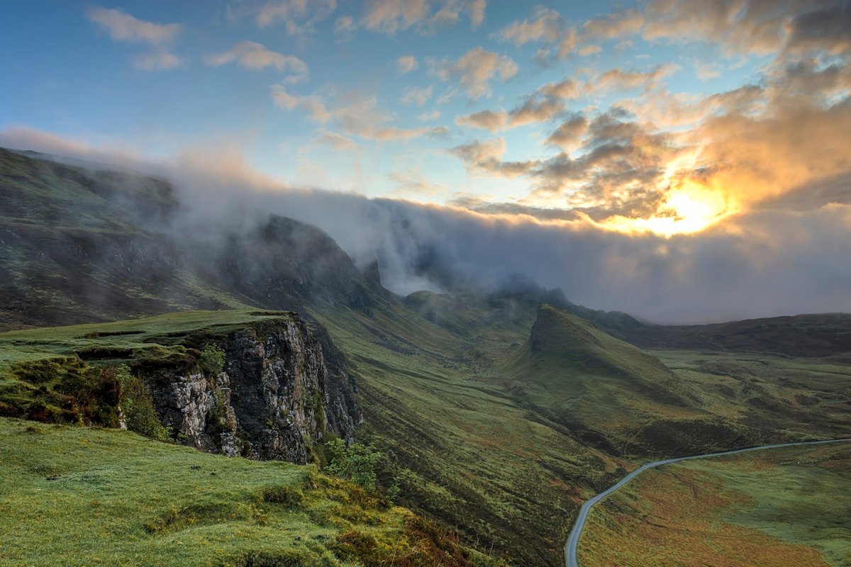
Stretching approximately 1,123 kilometers from Yining (Ghulja) in the west to Ruoqiang in the east, G218 is the road that unlocks the Yili Valley — Xinjiang’s “Switzerland.” Unlike the famous Duku Highway, which draws massive crowds every summer, G218 remains relatively quiet, winding through apple orchards, Kazakh yurts, rolling grasslands, and the dramatic river valleys of the Tianshan’s southern slope.
This guide focuses on the most scenic and accessible section: the Yining → Xinyuan → Nalati → Gongliu → Yining loop (about 400 km), which you can drive in 2–3 days at a leisurely pace. It’s the perfect self-drive route for independent travelers who want to experience Xinjiang’s pastoral side without the heavy traffic of the north’s more famous highways.
The Route at a Glance
| Segment | Distance | Drive Time | Highlights |
|---|---|---|---|
| Yining → Xinyuan | 180 km | 3.5 hours | Yili River valleys, fruit orchards, Kazakh settlements |
| Xinyuan → Nalati Grassland | 70 km | 1.5 hours | Alpine meadows, river views, nomad camps |
| Nalati → Gongliu → Yining | 150 km | 3 hours | Qapqal grasslands, Tianshan foothills |
The full loop is best done over 2–3 days. If you have more time, you can extend eastward along G218 toward Hejing and Korla, but the Yining–Nalati section is where the scenery is most spectacular.
Segment 1: Yining to Xinyuan (180 km, 3.5 hours)
Start your journey in Yining (Ghulja), the charming capital of Ili Prefecture. Before hitting the road, fuel up with a hearty Uyghur breakfast: naan fresh from the tandir oven, sheep’s milk yogurt, and a bowl of Laghman noodles if you’re starting late.
G218 begins southeast of Yining, following the Yili River valley. The first 60 km are lined with poplar trees and small Uyghur and Kazakh villages. In spring (April–May), the road is flanked by apricot blossoms — white petals drifting across the asphalt like snow. In autumn (September–October), the poplars turn brilliant gold, and the orchards are heavy with apples and pears.
About 90 km from Yining, you’ll pass through Qapqal Xibe Autonomous County, home to descendants of 18th-century Manchu soldiers who were stationed here. It’s a fascinating cultural stop — the Xibe people have preserved their language and traditions for over 250 years. A short detour into the county seat reveals traditional wooden architecture and excellent local dairy products.
Xinyuan County is your overnight stop or lunch break. It’s a working town rather than a tourist destination, but that’s precisely its charm. The Sunday livestock market (if your timing is right) is one of the most authentic in Xinjiang — no tourists, just local herders trading sheep and horses in a cloud of dust and laughter.
Segment 2: Xinyuan to Nalati Grassland (70 km, 1.5 hours)
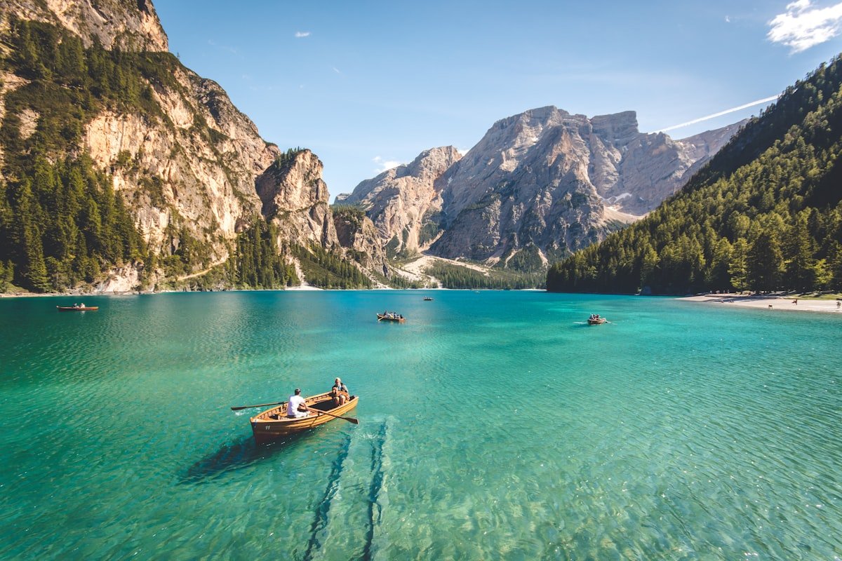
From Xinyuan, G218 climbs steadily into the Tianshan foothills. This is the most scenic stretch of the entire route. The road narrows, switchbacks appear, and the landscape transforms from broad river valley to alpine meadow. In June and July, the hillsides are carpeted with wildflowers — red poppies, purple irises, and yellow buttercups — while Kazakh herders move their flocks through the valleys below.
Nalati Grassland is one of Xinjiang’s most famous pastoral landscapes, and arriving via G218 from the east gives you a completely different perspective from the tour-bus crowds who approach from the north. The road climbs to about 2,000 meters, with sweeping views back down the valley toward Xinyuan.
Practical note: Nalati has entrance fees (around ¥95 for the scenic area, plus ¥60–100 for the internal shuttle bus). If you’re on a budget or prefer a wilder experience, ask locally about accessing the free pastureland south of the official scenic area — many travelers report that the best meadows are outside the ticket gate, where Kazakh families welcome visitors to their yurts for tea and cheese.
Stay overnight in a yurt or guesthouse near Nalati. Falling asleep to the sound of wind in the grass and waking up to mist rising off the meadows is an experience you won’t forget. Expect basic facilities — squat toilets, no hot shower in some yurts — but the hospitality is warm and the starry sky is extraordinary.
Segment 3: Nalati → Gongliu → Yining (150 km, 3 hours)
The return leg from Nalati to Yining via Gongliu County takes you through a different valley system, completing the loop. The road descends from the alpine zone into broad grassland punctuated by river gorges and limestone cliffs. Gongliu is known for its horse breeding (the famous Yili horses) and for the Qiao’an pasturelands, which are less visited than Nalati but equally beautiful.
Along this segment, watch for roadside yurt teahouses — unmarked wooden structures with a blue smoke curling from the stovepipe. Stopping for a bowl of kumiss (fermented mare’s milk) and a piece of homemade cheese is one of the best ways to connect with local culture. Most herders speak some Mandarin and are delighted to have visitors; bring small bills and a few sweets for the children.
The final stretch into Yining runs along the north bank of the Yili River, with the city’s minarets and poplar-lined boulevards coming into view just as the light turns golden. Time your arrival for sunset and head straight to Liuxing Street for dinner — the Uyghur ice cream alone is worth the drive.
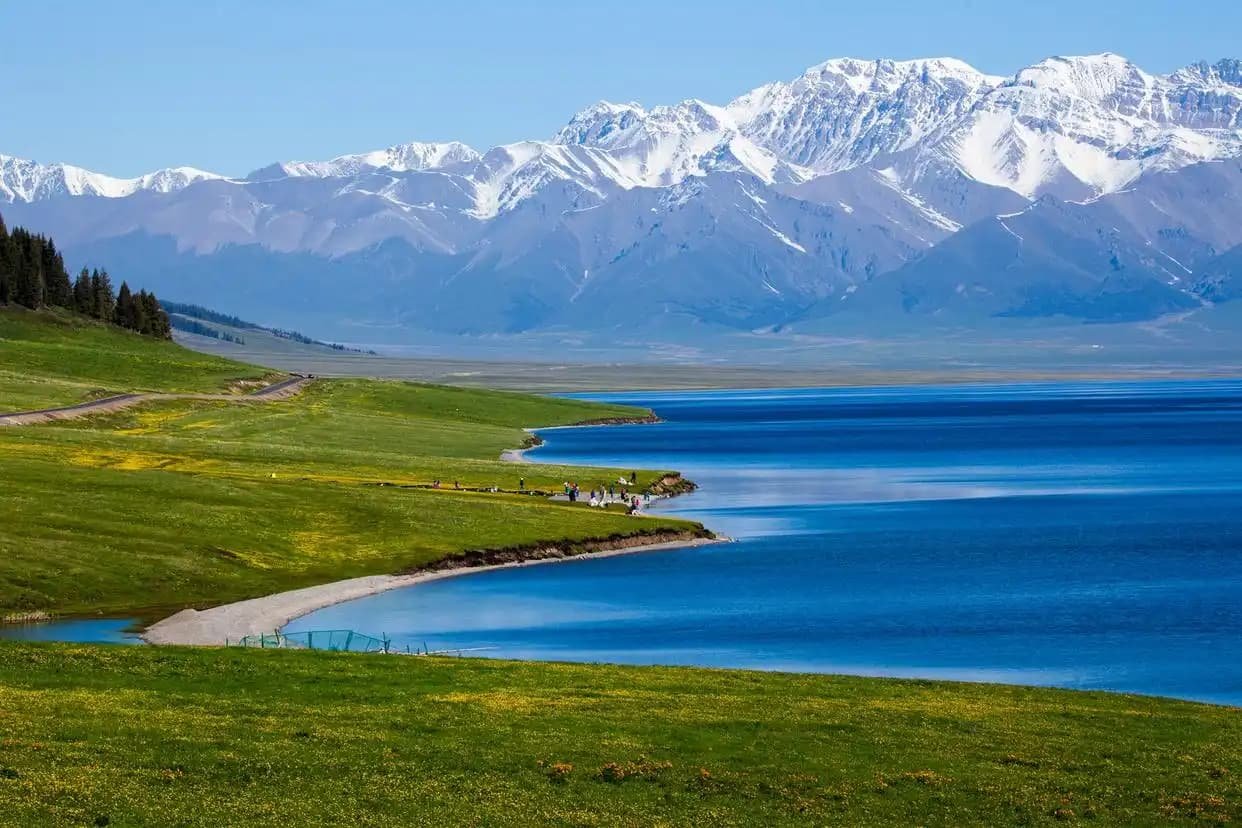 G218 Yili Valley road trip route in Xinjiang” width=”800″ height=”500″>
Driving Conditions and Practicalities
Road Quality
G218 between Yining and Nalati is fully paved and well-maintained. The road is two-lane asphalt for most of the route, widening to four lanes near Yining. However, the mountain sections have tight curves and no guardrails in some stretches — drive carefully, especially at night. Do not drive G218 after dark if you can avoid it; livestock occasionally wander onto the road, and the lack of street lighting makes the curves hazardous.
Best Time to Drive G218
- May–June: Apricot blossoms and wildflowers; lush green valleys. This is the most beautiful season.
- July–August: Warmest weather (25–30°C daytime); alpine meadows at peak green. Can be crowded at Nalati scenic area.
- September–October: Golden poplars, apple harvest, crisp weather. Excellent for photography.
- November–March: Snow closes some mountain passes. Not recommended for independent drivers.
Fuel and Services
Petrol stations are available in Yining, Xinyuan, and Gongliu. Fill up in Yining before you leave — the stretch between Xinyuan and Nalati has limited services. Mobile phone coverage (China Mobile/Telecom) is good along most of the route, but don’t rely on data in the deepest valley sections.
Car Rental and Permits
You can rent a car in Urumqi or Yining. Yining’s airport (Yining Airport, IATA: YIN) has several rental agencies, though selection is more limited than in Urumqi. A Chinese temporary driving permit is required if your license is not from mainland China — arrange this in advance through a rental agency or the public security bureau in Urumqi. The G218 route does not require any special border permits, unlike routes toward Tashkurgan or Kanas.
Extending the Journey: G218 Eastward
If you have 5–7 days, consider continuing eastward on G218 from Nalati toward Hejing and Korla. This section passes through the southern Tianshan range and the edge of the Taklamakan Desert’s northern fringe. Highlights include:
- Bayinbuluke (Bayanbulak): A high-altitude grassland with the famous “Nine-Bend River” (Swan Lake). This is one of the most spectacular landscapes in all of Xinjiang. Note: Bayinbuluke requires a separate entrance permit and is best visited between June and September.
- Hejing County: A quiet Mongolian-majority town with access to the Tianshan Grand Canyon.
- Korla: The endpoint of this extended route, where G218 meets the desert highways. Korla is known for its pears and as a gateway to the Taklamakan.
This extended route adds about 500 km of driving and at least 2 additional days. Road conditions are variable — some sections are under renovation — so check locally before setting out.
Where to Stay Along G218
| Location | Accommodation Type | Price Range (CNY) | Notes |
|---|---|---|---|
| Yining | Business hotels, guesthouses | 200–500 | Best selection; book ahead in summer |
| Xinyuan | Basic hotels, guesthouses | 120–250 | Functional; don’t expect luxury |
| Nalati area | Yurt stays, guesthouses | 150–400 | Yurt = basic but unforgettable |
| Gongliu | Small hotels | 100–200 | Convenient overnight stop |
Pro tip: For the most authentic experience, ask your guesthouse host in Nalati to introduce you to a local Kazakh family who accepts overnight guests in their winter cabin (not the tourist yurts). You’ll pay around ¥150–200 per person including dinner and breakfast, and you’ll leave with a new appreciation for nomadic hospitality.
Sample 3-Day Itinerary
Day 1: Arrive Yining (fly in or drive from Urumqi). Pick up rental car. Explore Yining’s Liuxing Street and Kazanchi ethnic district. Overnight Yining.
Day 2: Yining → Qapqal Xibe County (detour) → Xinyuan (lunch) → Nalati Grassland. Arrive afternoon, check into yurt or guesthouse. Sunset walk on the meadows. Overnight Nalati area.
Day 3: Early morning photography at Nalati. Drive Nalati → Gongliu (stop at roadside yurt teahouse) → Yining. Return car or continue your Xinjiang journey.
If you have more time, add a day trip from Yining to Huocheng’s lavender fields (June only) or a detour north to Sayram Lake via S101 Provincial Highway.
Final Thoughts: Why G218 Deserves a Place on Your Xinjiang Itinerary
Most foreign travelers to Xinjiang stick to the “big three” — Kashgar, Kanas, and the Duku Highway. All are spectacular, but they’re also crowded, especially in July and August. G218 through the Yili Valley offers something different: a chance to drive at your own pace through landscapes that feel unchanged for centuries, stopping wherever a meadow or a yurt catches your eye.
The road is safe, the scenery is world-class, and the cultural encounters — a bowl of kumiss with a Kazakh family, an impromptu game of baige (horse racing) on a village track — are the kind of memories that survive long after the photos have been forgotten. If you’re planning a self-drive trip in Xinjiang, make room for G218. It may be the best driving day of your entire journey.
Published: July 2026. Road conditions and opening hours were verified with local sources. Always check current travel advisories and weather conditions before setting out on a self-drive trip in Xinjiang.