
The Ili Valley Self-Drive Loop: A 7-Day Circle Through Xinjiang’s Greenest Corner
Last June I rolled out of Yining at 7 a.m. with a full tank and no fixed plan beyond a rough loop I had sketched on a napkin at the guesthouse breakfast table. Nine days later I came back with 1,400 km on the odometer, a sunburned left arm from the driver’s window, and a list of small towns I had never heard of before the trip. The Ili Valley, tucked against the Kazakh border in northwest Xinjiang, is the one corner of the region where the desert gives way to rolling green, and it rewards a self-driver more than almost anywhere else I have driven in China.
Why the Ili loop works so well by car
The valley sits in a rain shadow that somehow still catches moisture off the prevailing westerlies, so from May to September the grass stays green while the rest of Xinjiang bakes under 35-degree heat. Roads are paved and in good shape, distances between stops are short (mostly 60-150 km), and you are never far from a county town with fuel, food and a bed. It is the rare Xinjiang route where you can be spontaneous without worrying about a 300 km fuel gap or a checkpoint you did not plan for.
What makes it special is the variety packed into a small area. In a single week you can be on a high grassland one morning, in a timber Kazakh village by noon, and at a weekly horse market by evening. For background before you go, the Ili Valley overview guide lays out the geography better than any map app will. I read it on the flight in and still underestimated how big the valley feels once you are inside it, with mountains folding in on every side.
Day 1: Yining and the first fuel stop
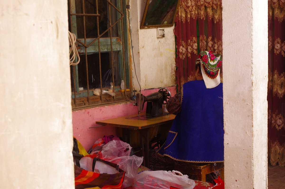
Start in Yining (also called Ghulja), the valley’s hub and a genuinely pleasant small city with tree-lined avenues left over from its old Russian and Central Asian trading days. Stock up on snacks, fill the tank, and walk the old street quarter for an hour before you leave; the city is more leafy and relaxed than anywhere else in the region, and the morning market near the river is where I bought a wheel of local cheese I ate over the next three days. The first real leg is the 260 km run east to Nalati on the G218, following the Ili River and then climbing into the mountains. I stopped twice just to let oncoming herders pass with their flocks, which took longer than the actual corners, and I did not mind.
Day 2: Nalati grassland in depth
Nalati grassland is the headline stop and it earns it. Buy the scenic-area ticket at the gate (around 95 yuan for the main shuttle route in 2025, prices drift yearly), then drive the internal road if your rental allows, or take the shuttle. Arrive before 10 a.m. and the valley floor is empty; by noon the tour buses arrive and the magic thins out. I spent the afternoon on a ridge above the river watching clouds move across the grass, which cost nothing and beat any viewpoint platform. The Kazakh yurts dotted across the slope are not just photo props; several rent beds, and sleeping inside one on a cool June night was one of the better decisions of the trip.
Day 3: The Narat Pass to Zhaosu
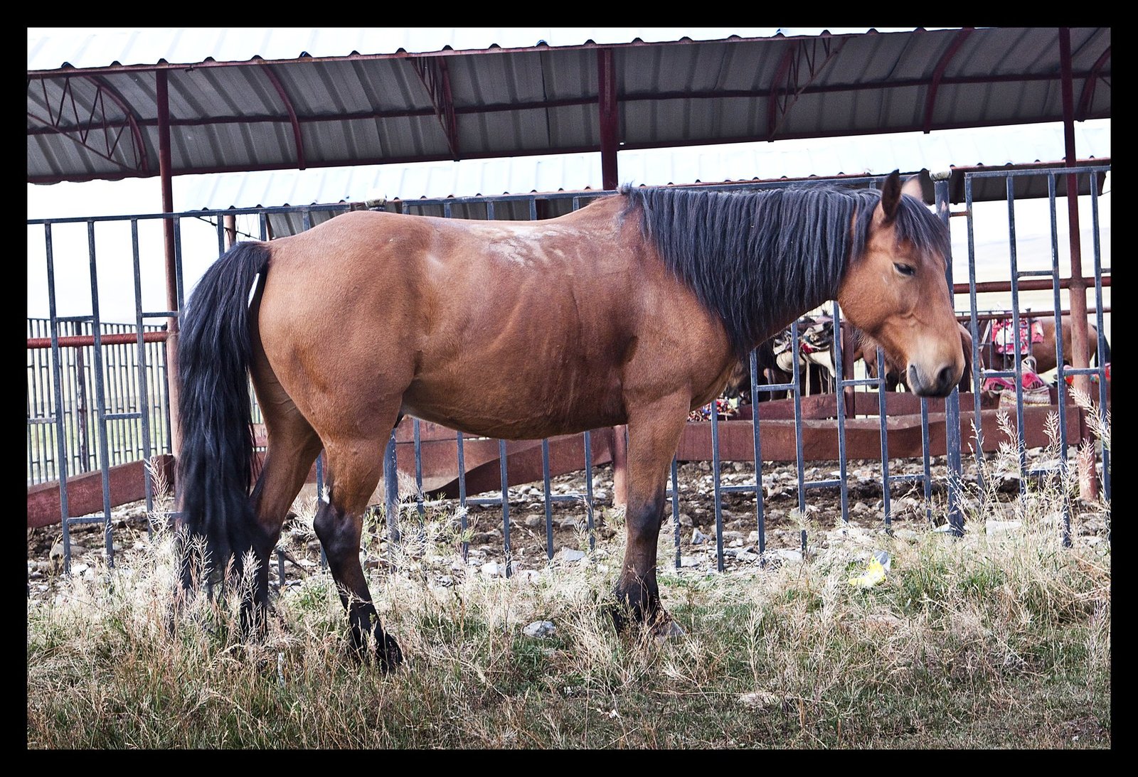
The drive from Nalati to Zhaosu over the Narat Pass is one of the prettiest half-days in Xinjiang, about 120 km of switchbacks with snow somewhere on the peaks even in July. This is high country, so if you are coming early season, check the pass closure schedule before you commit, because a late snow can close the road for a day or two with no warning and there is no pretty detour. Zhaosu is famous for its horses and its wide-open basins, and the town itself is flat, clean and easy to navigate. I spent an afternoon just watching a polo-like game in a dirt stadium while old men sold grilled corn from buckets, and a kid let me hold a week-old foal. Small moments like that are why I drive instead of flying.
Day 4: Zhaosu to Tekes and Kuerdening
From Zhaosu it is a short hop to Qapqal, home to the Xibe people whose ancestors were posted here two centuries ago, and then into the Kuerdening nature reserve, a quieter alternative to the busy grassland parks. The road in is gravel for the last stretch; a normal sedan made it fine in dry weather but I would not attempt it after rain without clearance, because the clay turns to grease. Tekes itself is built as a giant bagua (eight-trigram) circle, which is a fun navigation curiosity. GPS gets confused in the concentric rings, so screenshot your hotel location before you lose signal, and learn the street names by the trigram they sit on.
Day 5: Qiongkushitai village
The village of Qiongkushitai is the wild card. The access road is rough and long (about 90 km of slow driving from the main highway, much of it washboard), but the timber Kazakh houses and the lack of signal make it the most unplugged night of the loop. There is a basic guesthouse; book ahead in July and August, because the handful of rooms fill fast once the domestic travelers discover them, and there is nowhere else to sleep for an hour in any direction. I paid 180 yuan for a shared-bathroom room, ate noodles the owner’s wife cooked on a wood stove, and slept to absolute silence for the first time in weeks.
Day 6: Turgen gorge and back to Yining
Then it is an easy run back to Yining, with a morning detour to the Turgen gorge east of the city, worth it in spring for apricot blossoms and in autumn for yellowing leaves along the stream. The gorge road is narrow and shaded, a relief from the open grassland, and there are picnic spots where locals barbecue on weekends. I timed my return for a Saturday so I could catch the weekend bazaar on the city edge, which is where I bought a felt rug I still have in my hallway and a jar of wild strawberry jam I finished in two days.
Where to sleep and what it costs
County towns have decent mid-range hotels from 200-400 yuan, often with breakfast and always with a real bed and a shower, which you will want after a dusty day. The remote villages are basic, often 100-200 yuan for a shared-bathroom room, and sometimes only cash is accepted, so keep a wad of small bills. Drive time per day is short, so do not rush; the loop is built for lingering, not for ticking boxes before dark.
Food on the loop
You will eat well without trying. Every town has a halal noodle shop where a bowl of laghman costs 18-30 yuan and comes piled higher than you expected. Roadside stalls sell fresh curds, smoked horse sausage (a local specialty worth one brave try), and seasonal fruit that changes by the week. In Yining the Russian-influenced bakeries do a cream bun that became my daily ritual, and the night market by the river is the best dinner stop of the trip if the weather holds.
Logistics that actually matter
Fuel: every county town has a station; carry cash as backup because the foreign-card reader at some pumps still misbehaves. Cash and cards are covered in the foreigner fuel payment guide, which I wish I had read before my first awkward pump standoff. Drive the loop from late May to mid-September; June for wildflowers, July-August for green and festivals, September for cooler air and empty roads. Whatever you pick, give it at least a week, because anything less and you will spend the whole time in the car and miss the point of the place entirely.
A Sayram Lake side trip if you have an extra day
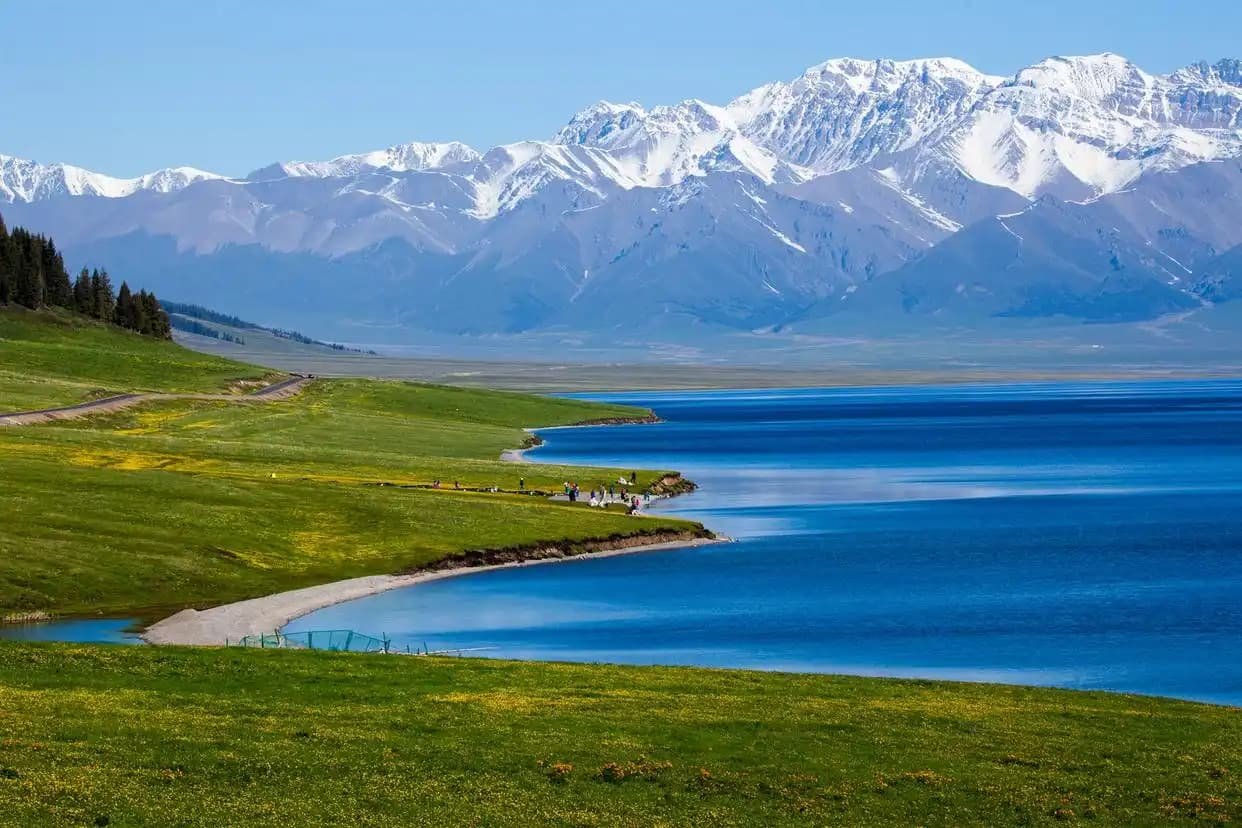
If your week has slack, swing north from Yining to Sayram Lake, about 90 km up the G30. It is the largest alpine lake in Xinjiang, a cold blue bowl ringed by snow peaks, and the road there climbs through a tunnel that pops you out above the tree line. I treated it as a half-day and stayed four hours, walking the western shore where the wind never stops and the water is too cold for anything but photos. Combine it with the nearby Guozigou bridge gorge if you want a second viewpoint; the canyon below the bridge is the kind of sight that makes a detour obvious, and the high arches make a photo stop even when the light is flat.
G218 versus the faster roads
The loop I describe runs mostly on the G218 and smaller county roads, which is the scenic choice and the right one for a first visit. If you are short on time, the G30 expressway skips the mountains and saves hours, but you trade the best views for a duller drive. I did the fast version once to catch a flight and regretted it; the slow version is the trip. Fuel-wise the G218 has stations in every county, so the tolls and ETC guide matters more on the expressway, where the gates add up across a long day.
Money and ATMs along the loop
Yining and the bigger towns have ATMs that take foreign cards, but the small villages do not, and the one cash machine in Qiongkushitai was out of order the day I needed it. Carry 1,000-1,500 yuan in cash for the remote nights; guesthouses and stalls there are cash only. The fuel payment guide covers pump quirks, and the same cash rule applies at every small-town station where the card reader is “broken” in a way that clears up the moment you produce notes.
When not to do the loop
Skip it in deep winter (December to March) when the Narat Pass can close and the guesthouses in the high villages shut. April is muddy and undecided; May is when it clicks. I once tried an early May run and hit a snow squall on the pass that turned a two-hour drive into five, so I now wait for June. If you only have one window and it is shoulder season, the weather-by-month guide is the tiebreaker I wish I had consulted first.
Packing for the Ili loop specifically
Layer for big day-to-night temperature swings; a valley afternoon at 28 degrees drops to 12 at night. A power bank is essential because you will photograph constantly and signal is patchy. I pack a small cooler for fruit and dairy from the roadside stalls, and a trash bag, because the grassland has no bins and the wind spreads litter fast. The seasonal packing list covers the general kit; for the Ili loop add the cooler and a wider-brim hat than you think you need, because the steppe sun is relentless and there is no shade on the open grass.