
Xinjiang 2-Week Itinerary: The Ultimate 14-Day Ring Road Guide (2026)
Last updated: June 2026. This 14-day Xinjiang itinerary is designed for independent travelers who want to experience both the alpine wonderland of Northern Xinjiang and the Silk Road heritage of Southern Xinjiang in a single, well-paced journey.
Why Two Weeks Is the Sweet Spot for Xinjiang
Xinjiang independent travel demands time. At 1.66 million km²—one-sixth of China’s landmass—distances here are measured in half-days, not hours. With fewer than 7 days you’re forced to choose between north or south. With 3 weeks you can linger everywhere. But with 14 days, you can complete a classic Xinjiang ring route that links the alpine lakes of the north with the Silk Road oases of the south, joined by the legendary Duku Highway.
This itinerary is built for solo travelers, couples, and small groups who value independent pacing over tour-bus rigidity. It assumes you fly into Urumqi, rent a car or hire a local driver, and move at a sustainable rhythm—no 10-hour driving marathons, no skipped meals.
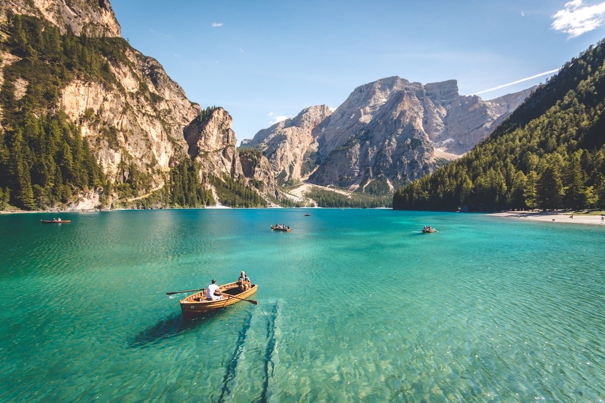
Before You Go: Essential Planning
Best Time to Attempt This Route
The 14-day ring works best from June through September, when the Duku Highway is fully open (typically June 1 – October 10). June brings wildflower meadows in Ili; July–August offers the warmest weather for high passes; September paints Kanas in gold. If your dates fall outside this window, see our month-by-month seasonal guide.
Budget Snapshot (Per Person)
| Item | Economy (CNY) | Comfort (CNY) |
|---|---|---|
| Transport (car + gas) | 3,500–5,000 | 8,000–12,000 |
| Accommodation (13 nights) | 2,600–4,000 | 6,500–10,000 |
| Park entrance fees | 1,200–1,500 | 1,800–2,500 |
| Food & drinks | 1,500–2,100 | 3,000–4,500 |
| Total (excl. flights) | 8,800–12,600 | 19,300–29,000 |
Pro tip: Split transport costs with 3–4 fellow travelers in a 7-seat van. Per-person costs drop by 60%.
Documents You’ll Need
- ID card / passport—checked at every gas station and many roadblocks.
- Border permit (边防证)—required for Baisha Lake, Muztagh Ata viewing areas, and White Sand Lake. Get it free at the PSB in Urumqi or Kashgar (bring passport + 2 photos).
- China driving license—if self-driving. Note: foreign licenses are not valid; hire a local driver instead.
The 14-Day Xinjiang ring road: Day-by-Day
Phase 1: Northern Xinjiang — Alpine Wonderland (Days 1–7)
Day 1 — Arrive in Urumqi, Acclimatize
Land at Urumqi Diwopu International Airport. Pick up your rental or meet your driver. Spend the afternoon at the Xinjiang Regional Museum to see the Tarim mummies and understand the region’s deep history before you see it firsthand. Evening: stroll the International Grand Bazaar for grilled lamb skewers and spiced nan bread.
Sleep: Urumqi (book early; summer fills up).
Day 2 — Tianchi (Heavenly Lake) → Fukang
Drive 70 km east to Heavenly Lake (Tianchi). Take the shuttle bus up to 1,910 m. Walk the northern shore boardwalk; if energy allows, hike 1 hour toward the Bogda Glacier viewpoint. The reflection of snow-capped Bogda Peak in the turquoise water is the postcard image of Xinjiang.
Sleep: Fukang or return to Urumqi.
Day 3 — Fukang → Koktokay → Burqin
An early start. Drive north toward the Altai region. Stop at Koktokay (Keketuohai) National Geopark—dramatic granite canyons and the “No. 3 Vein” mineral exhibit (this mine funded China’s first atomic bomb). By late afternoon, reach Burqin, a storybook town on the Irtysh River. Catch sunset at Wujiatong (Five-house) Rainbow Beach on the way.
Sleep: Burqin (try the riverside B&Bs).
Day 4 — Burqin → Kanas Lake (Full Day)
Enter the Kanas Nature Reserve. The park shuttle drops you at Three Bays: start at Moon Bay, walk downstream to Guanyu Bay, and finish at Shenxian Bay for the famous morning mist (arrive before 8:00 AM in summer). In the afternoon, hike up to Fish-Watching Terrace (观鱼台)—1,060 steps, but the panoramic view of the emerald lake is worth every step.
Sleep: Inside the park (Kanas Village or Jiadengyu). Booking 1–2 months ahead for September is essential.
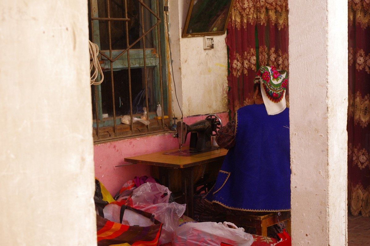 Kashgar Old Town ancient alleys and mud-brick architecture in Southern Xinjiang”>
Day 5 — Kanas → Hemu Village
Morning: take the shuttle to Hemu Village, 70 km east. This Tuvan village of wooden cabins is the most beautiful in China according to many photographers. Spend the day hiking to Haden Platform for the iconic morning-mist-over-cabins view (set your alarm for 5:30 AM). Rent a horse for a 2-hour ride through birch forest if your budget allows.
Sleep: Hemu (wooden guesthouse; bring earplugs).
Day 6 — Hemu → World Devil City → Kuytun
Leave the mountains and drive south across the Junggar Basin. Stop at World Devil City (Wuerhe Yadan)—wind-carved sandstone castles that glow rust-red at sunset. It’s eerie, cinematic, and completely unlike anywhere else in Xinjiang.
Sleep: Kuytun or Karamay.
Day 7 — Kuytun → Sayram Lake → Yining
The payoff: Sayram Lake—the “Atlantic’s last teardrop”—a 453 m deep alpine lake ringed by snow peaks. Drive the lake-ring road (now fully paved, 90 km). Stop at the Huoguosi (Fruit Valley) Bridge viewpoint for one of Xinjiang’s most famous photo ops. End the day in Yining, a leafy, relaxed city with a distinct Central Asian vibe.
Sleep: Yining (stay in the Russian-style guesthouses near the river).
Phase 2: The Duku Highway & Southern Xinjiang (Days 8–14)
Day 8 — Yining → Nalati Grassland → Bayanbulak
Head south into the Nalati Grassland—one of the world’s four alpine meadow grasslands. Take the shuttle to Air Grassland (空中草原) and walk among wildflowers with snow peaks behind you. By late afternoon, cross the Duku Highway southern section (note: this pass closes at 8 PM; check status). Arrive at Bayanbulak Grassland for the famous Nine-Bend River sunset—golden light hitting 1,298 river bends.
Sleep: Bayanbulak town (basic; bring warm clothes—it drops to 5°C at night).
Day 9 — Bayanbulak → Duku Highway → Kuqa
Drive the Duku Highway in full—561 km of mountain road that passes through all four seasons in one day. Stop at the Tianshan Mysterious Grand Canyon (aka Kizil Canyon) just south of the pass—red rock walls 200 m high. Reach Kuqa, an ancient Qiuci Kingdom town on the Silk Road.
Sleep: Kuqa.
Day 10 — Kuqa: Kizil Caves → Tianshan Grand Canyon
Morning: visit Kizil Thousand-Buddha Caves (opened 3rd century, 260 years before Mogao Caves). Afternoon: hike the Tianshan Grand Canyon (Kizil Canyon) red-rock trail. Evening: explore Kuqa’s old town bazaar.
Sleep: Kuqa.
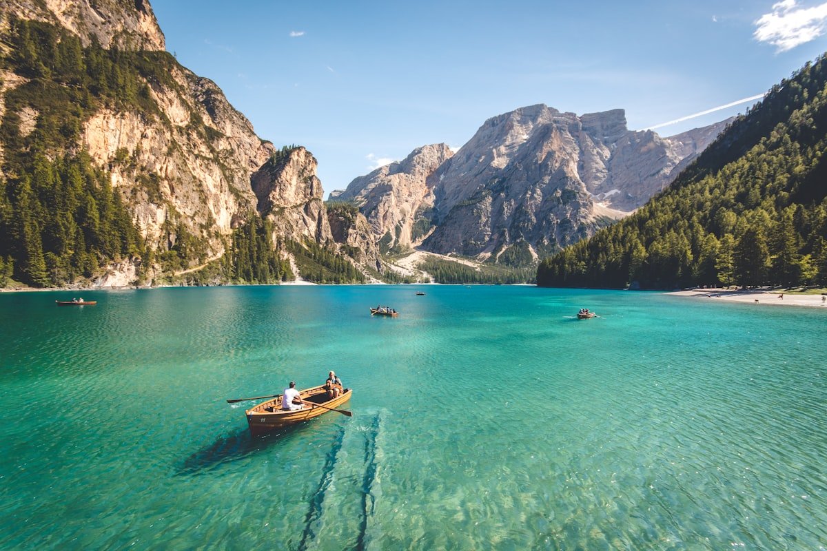 Nalati Grassland aerial view with wildflowers and snow-capped Tianshan mountains”>
Day 11 — Kuqa → Aksu → Kashgar
Long drive day (about 7 hours). Break up the journey with a stop at Oytag Kirghiz Village (ice-mountain viewpoint). Reach Kashgar by evening. First stop: the Id Kah Mosque square at dusk—locals gathering for evening prayers, the call to prayer echoing off mud-brick walls.
Sleep: Kashgar Old Town (stay in a renovated courtyard B&B).
Day 12 — Kashgar Deep Dive
Full day in Kashgar Old Town. Wake for the 8:30 AM morning ceremony at the East Gate (locals reenact the ancient city-opening ritual). Get lost in the 2,000-year-old alleways. Visit a Uyghur woodcarver’s workshop, drink milk tea at a century-old teahouse, and eat polo (pilaf) at a family-run restaurant. Evening: Handan (Night Market) for grilled fish and spicy cold noodles.
Sleep: Kashgar Old Town.
Day 13 — Kashgar → White Sand Lake → Karakul Lake → Taxkorgan
The Pamir Plateau adventure begins. Drive the China-Pakistan Highway (KKH) south. Stop at White Sand Lake (Bai Sha Hu)—a milky-turquoise lake against a backdrop of white dune mountains. Continue to Karakul Lake (3,600 m), where Muztagh Ata (7,509 m) reflects in the water. Reach Taxkorgan, a remote Tajik border town.
Sleep: Taxkorgan (basic hotel; bring warm gear).
Day 14 — Taxkorgan → Stone City → Kashgar → Fly Out
Morning: visit Stone City (Tashkurgan Ancient City) and walk the Golden Grass Beach. Then drive back to Kashgar (4–5 hours). If your flight departs late, squeeze in last-minute pomegranate juice and spice shopping at the Old Town bazaar. Fly out from Kashgar Airport (or take the overnight sleeper train back to Urumqi).
Can’t Do 14 Days? 3 Condensed Alternatives
| If you have… | Recommended focus |
|---|---|
| 7 days | Urumqi → Tianchi → Kanas → Hemu → Burqin → Urumqi (Northern Xinjiang loop) |
| 10 days | Add Sayram Lake + Nalati + Duku Highway to the 7-day route |
| 14+ days | Extend with Huocheng Lavender (June) or Yarkand (Shache) for the full cultural immersion |
Practical Tips for the Road
- Gas station protocol: You must show ID/passport at every station.Foreign travelers: staff may call a supervisor; be patient. Bring a Chinese translation app.
- Altitude: Most of the route stays under 2,500 m, but Karakul Lake (Day 13) is at 3,600 m. If you feel dizzy, rest and drink water. Avoid alcohol the night before.
- Food: In Northern Xinjiang, expect hearty meat dishes (horse meat sausage in Burqin, roasted whole lamb in Kanas). In Southern Xinjiang, the food is more Central Asian—Laghman noodles, nang with kebabs, and sweet melons.
- Internet: Mobile signal is surprisingly good along most of the route (4G/5G), but the Duku Highway has patches of dead zone. Download offline maps.
- Respect: In Kashgar’s Old Town and around mosques, dress modestly (cover shoulders and knees). Always ask before photographing people.
Final Word
Fourteen days on the Xinjiang ring road is a journey that moves through more ecosystems, cultures, and centuries than most countries contain. You’ll see glacial lakes that glow unnatural blue, stand in 2,000-year-old Silk Road oases, share tea with Tajik herders at 3,600 meters, and eat food that fuses Central Asian nomadism with Chinese agriculture. It’s not a comfortable two weeks—buses are bumpy, beds are firm, and the spice hits hard—but it’s unforgettable.
Written by a traveler who has driven the Duku Highway three times and still stops at every viewpoint. If you have questions about any section of this route, drop them in the comments—I read every one.