
Xinjiang Travel Itinerary for First-Timers: 7, 10, and 14-Day Planning Guide 2026
Planning your first trip to Xinjiang is exhilarating — and slightly overwhelming. China’s largest province is bigger than France, Spain, and Germany combined, with landscapes ranging from glacial alpine lakes and Siberian taiga to hyper-arid desert basins and living Silk Road oases. For the first-time visitor, the single biggest mistake is trying to see everything in one go. You can’t. What you can do is plan smart: pick a regional focus, match it to your available days, and build a realistic pacing that doesn’t leave you exhausted by Day 4.
This guide lays out three proven itinerary frameworks — 7 days, 10 days, and 14 days — all tested on the ground in 2025–2026. Each option is designed so you spend more time looking at mountains and less time staring at a rental car dashboard.
Understanding Xinjiang’s Three Travel Zones
Before picking days, you need to understand the geography. Xinjiang splits naturally into three travel regions, each with its own climate, ethnic character, and logistical logic.
Northern Xinjiang (北疆) — Anchored by Kanas Lake, Hemu Village, and the Dzungarian Basin. This is the alpine, forested, taiga-covered Xinjiang. Best for nature lovers, photographers, and anyone who thinks “China” means only cities. The gateway is Urumqi or Burqin (for Kanas).
Ili Valley / Western Xinjiang (伊犁) — The Switzerland of China. Rolling grassland pastures, snowdrop meadows in May, and Sayram Lake‘s electric-blue water. Nalati and Kalajun grasslands are here. Best in May–September. Gateway: Yining (also called Ili).
Southern Xinjiang (南疆) — The Taklamakan Desert, the Silk Road heartland, and Kashgar Old Town. This is the cultural, historical, and culinary soul of Xinjiang. Uyghur, Tajik, and Sogdian threads weave through every stop. Gateway: Kashgar (flights from major Chinese cities).
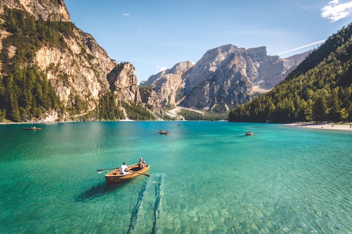
Option 1: 7-Day First-Timer’s Itinerary (Northern Xinjiang Focus)
This route is for travelers with exactly one week who want maximum scenic payoff without excessive driving. It focuses on the Kanas biosphere and Urumqi’s gateway area.
Day 1 — Arrive in Urumqi: Land at URC, pick up rental car or meet driver. Visit the Xinjiang Regional Museum (free, book ahead) to get the cultural framework. Overnight in Urumqi.
Day 2 — Urumqi to Burqin (via Devil City): Early start. Drive ~450 km northwest toward Burqin, with a midday stop at World Devil City (Wuerhe Yadan) near Karamay. The Mars-like formations are a surreal warm-up. Overnight in Burqin (simple river-town hotels, good grilled fish).
Day 3 — Burqin to Kanas Lake: Enter the Kanas reserve. Shuttle bus from Jiadenyu to the core zone. Walk the Three Bays (Moon Bay, Shenxian Bay, Wolong Bay) in the afternoon. Overnight in Kanas Village or nearby wooden lodge.
Day 4 — Kanas Lake full day: Climb to Guanyu Tai overlook (1,066 steps, or take the shuttle + escalator). Afternoon walk along the lakeshore plank trail. Sunset over the water if weather cooperates.
Day 5 — Kanas to Hemu Village: Morning transfer to Hemu (separate entrance, ~1.5 hr). Hemu is the timber-and-birch sister village — quieter, more atmospheric. Hike up to the viewing deck for the classic birch-and-smoke sunrise setup (you’ll need to stay inside the zone to catch it).
Day 6 — Hemu to Urumqi (or fly out): Long drive back (~10 hours). Alternatively, check if there are flights from Burqin/Kanas airport (seasonal) to save time. If driving, break the return into two legs with a stop in Fukang near Heavenly Lake (Tianchi).
Day 7 — Heavenly Lake day trip, then depart: Morning at Heavenly Lake (shuttle bus up to 1,980 m). Reflections of Bogda Peak, spruce trails, and a cable car to Maya Peak if energy allows. Afternoon transfer to Urumqi airport.
Driving total: ~1,800 km. Best season: June–September (September for golden larch).
Option 2: 10-Day Classic Ring Road (Northern + Ili)
This is the most popular route for a reason: it hits the “postcard three” — Kanas, Sayram Lake, and Nalati — without feeling impossible. It’s also the foundation of the 10-day independent adventure covered in our main Xinjiang solo travel guide.
Day 1–3: Same as Option 1 (Urumqi → Devil City → Kanas).
Day 4: Kanas to Karamay or Bole (transition day toward Ili). Long drive (~8 hours), but you’re crossing from the Altai range to the Ili corridor — the landscape shift is dramatic.
Day 5 — Sayram Lake ring road: The highlight. Drive the full ~90 km lakeside loop. Stop at west platform for wide-angle shots and the southeast inlet for golden-hour reflections. Stay overnight in a lakeside yurt or in Bole/Yining.
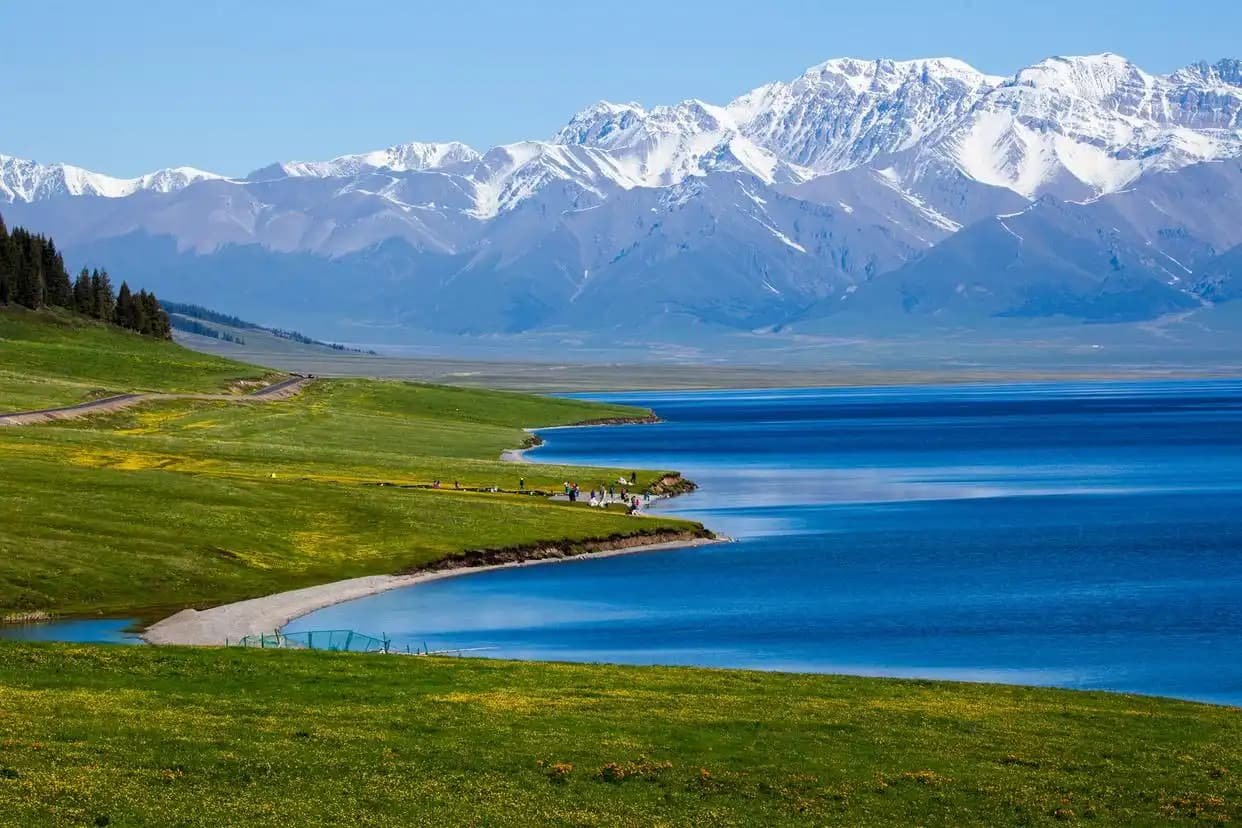 Xinjiang ring road itinerary”>
Day 6 — Yining and Ili Valley: Explore Yining’s multi-ethnic food scene and the Ili riverfront. If it’s June–July, detour to Huocheng lavender fields.
Day 7 — Nalati Grassland: Drive south from Yining into the Ili valley and spend the day on the Sky Prairie (空中草原) boardwalks. Horse-riding available through Kazakh-family concessions. Overnight in Nalati town or a yurt stay just outside the park gate.
Day 8 — Nalati to Kuqa (via Duku Highway): This is the legendary drive. The Duku Highway (G217) climbs over the Tianshan spine at ~3,400 m, dropping you from alpine meadow into red-rock canyon country. Note: Duku is only open ~June 1 to October 10. If it’s closed, you’ll need to route back via Urumqi and over the northern Tianshan passes — adds a day.
Day 9 — Kuqa cultural day: Visit the Kizil Thousand-Buddha Caves (oldest in China) and the Tianshan Grand Canyon (red rock slot canyon, ~5 km walk). Overnight in Kuqa.
Day 10 — Fly out from Kuqa or drive back to Urumqi: Kuqa has an airport with connections to Urumqi and a few direct flights to major cities. If you need to return to Urumqi, it’s ~7 hours.
Driving total: ~2,600 km. Best season: June 15–September 20 (must coincide with Duku opening).
Option 3: 14-Day Comprehensive Ring (North + Ili + South)
If you have two weeks and want the full Xinjiang immersion, this is the route. It adds Southern Xinjiang (Kashgar, the Pamirs) to the northern ring. This is also the framework behind our detailed 14-day ring road guide.
Day 1–9: Follow Option 2 through Kuqa.
Day 10 — Kuqa to Aksu to Kashgar: Drive south from Kuqa through the Tarim Basin. It’s ~710 km of straight highway through desert and oasis. Long day, but you arrive in Kashgar in time for the night food street.
Day 11 — Kashgar Old Town deep dive: Spend a full day getting lost in the UNESCO-listed maze. Visit Id Kah Mosque, Apak Khoja Mausoleum, and the Sunday livestock market if your timing aligns. Eat everything: naan, laghman, dapanji, chuanr.
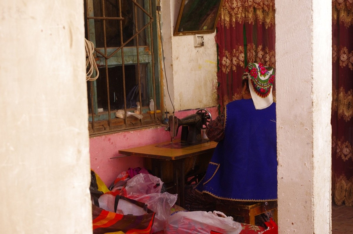 Xinjiang cultural itinerary“>
Day 12 — Kashgar to Karakul Lake (Pamir Plateau): Charter a 4×4 for the ~190 km drive southwest along the Karakoram Highway. Baisha (White Sand) Lake en route is a mandatory photo stop. Stay overnight in a Kyrgyz yurt camp on the north shore of Karakul — the sunrise reflection of Muztagh Ata in the lake is the single best photo op in Southern Xinjiang.
Day 13 — Karakul to Tashkurgan: Continue deeper into the Pamirs. Visit Stone City (石头城) and Golden Grass Beach. Tashkurgan is a Tajik (Pamiri) border town — the cultural change from Uyghur Kashgar is immediat. Overnight in Tashkurgan.
Day 14 — Tashkurgan back to Kashgar, fly out: Morning return drive (~5.5 hours), afternoon flight from Kashgar (KHG) to Urumqi or direct to your next destination.
Driving total: ~4,200 km. Best season: June–September. Permits: You’ll need a border-zone PSB permit (边防证) for the Pamir portion — arrange this in Kashgar through your hotel (usually free or nominal service fee).
Which Option Fits You?
| You have… | Choose… | Why |
|---|---|---|
| 7 days, first time | Option 1 (Northern) | Manageable driving, iconic alpine scenery, good infrastructure |
| 10 days, nature focused | Option 2 (Ring Road) | Kanas + Sayram + Nalati in one shot |
| 14 days, comprehensive | Option 3 (Full Ring) | Adds Kashgar and the Pamirs — the cultural payoff is huge |
| Late October–May | Shorten to Option 1 or city-based | Kanas road closures make long circuits risky |
Practical Planning Rules (That Save Trips)
1. Don’t underestimate distances. Xinjiang is 4 hours ahead of Beijing time but geographically colosal. Urumqi to Kashgar is ~1,500 km — roughly the distance from Paris to Madrid. Build in buffer days.
2. Timing matters more than you think. The best time to visit Xinjiang depends entirely on which route you pick. Kanas peaks in September (golden larch). Ili peaks in June–July (wildflowers + lavender). Kashgar is pleasant March–May and September–November. There is no single “best month” for the whole province.
3. Border permits are not optional. If your itinerary touches the Pamirs (Karakul, Tashkurgan) or Baihaba Village, you must have your PSB permit stamped before leaving for the border zone. Kashgar hotels arrange this efficiently — just bring your passport.
4. Getting to Xinjiang is easy; getting around takes planning. Urumqi, Kashgar, and Yining all have airports. But once you’re on the ground, a private charter or rental car (with Chinese license) is the only way to move freely. Driving in Xinjiang is safe and scenic but requires navigation prep (Gaode Maps works; Google Maps is unreliable).
5. Accommodation planning. July–August and China’s National Day holiday (Oct 1–7) see domestic tourism spikes. Book Kanas and Nalati accommodation 3–4 weeks ahead during those windows. Outside peak season, you can often find walk-in availability.
Final Word
Xinjiang isn’t a place you “do” in one trip — it’s a place you return to. The first itinerary is about tasting the three faces (north, west, south) and figuring out which one calls you back. Start with the option that matches your available days, build in one buffer day, and leave room for the unplanned encounters that make Silk Road travel what it is: a lesson in patience, scale, and human warmth at the edge of the map.
Last updated: June 2026. Routes and permit requirements reflect 2025–2026 season conditions. Always verify border permit rules and Duku Highway opening dates with local authorities before traveling.