
Getting Around Xinjiang: Complete Internal Transportation Guide 2026
Last updated: July 2026. This guide reflects the author’s firsthand experience traveling independently across Xinjiang and is regularly updated for accuracy.
Why “Getting around Xinjiang” Deserves Its Own Guide
Xinjiang is six times the size of Germany and spans over 1,600 kilometers from its northern tip to the southern edge of the Taklamakan Desert. For the independent traveler, this scale is both the region’s greatest draw and its most formidable logistical challenge. Unlike compact European countries where a train ride between cities takes two hours, in Xinjiang you plan in half-days and full days.
This guide breaks down every practical way to move within Xinjiang: flights that save you 14 hours, sleeper trains that turn travel into an overnight hotel, long-distance buses for the budget-conscious, and—for those who want maximum freedom—the evolving world of car rental and self-driving. We also cover city transport, border permits, and the unglamorous but essential realities: fuel station IDs, checkpoint patience, and seasonal road closures.
Core truth upfront: there is no single “best” way. The smart Xinjiang itinerary mixes modes. Fly into Urumqi, train to Kashgar, rent a car in Yining for the Ili valley loop, and take a sleeper bus when the distance is moderate and the budget is tight.
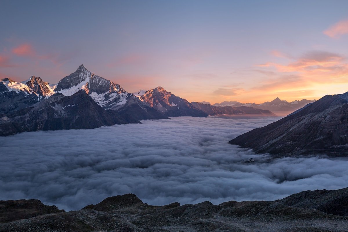
1. By Air — The Time-Saver for Long Distances
Xinjiang has over 20 civilian airports, which is more than most countries. For covering the region’s extremes—Urumqi to Kashgar (1,470 km), or Urumqi to Kanas (800 km)—flying is often the only sane choice if your total trip is under 10 days.
Key Routes & 2026 Schedule Patterns
| Route | Frequency | Duration | Notes |
|---|---|---|---|
| Urumqi → Kashgar | Daily, 4–6 flights | 2h 15m | Flagship route; book early for lower fares |
| Urumqi → Yining (Ili) | Daily, 6–8 flights | 1h 20m | Best value; essential for Ili itineraries |
| Urumqi → Kanas (Burqin) | Seasonal (Jun–Oct) | 1h 30m | Charter-style; sells out fast in September |
| Urumqi → Hotan | Daily, 2–3 flights | 2h 30m | Useful for southern Silk Road loops |
| Kashgar → Yining | 3–4× weekly (seasonal) | 1h 45m | Saves a 14-hour overland slog |
Booking tips: China’s domestic flights are best booked via Trip.com (English interface, foreign card accepted) or the airline’s own app (China Southern, Tianjin Airlines). For foreigners, the name on the ticket must exactly match the passport. A single letter off = denied boarding.
2. By Train — Sleeper Comfort & Scenic Rails
China’s railway network in Xinjiang is modern, safe, and affordable. The Lanzhou–Xinjiang High-Speed Railway now connects Lanzhou to Urumqi in ~11 hours (second class ~¥520). From Urumqi, conventional sleeper trains radiate to every major prefecture.
Major Sleeper Routes (Conventional / “Slow” Trains)
| Route | Duration | Sleeper Fare (¥) | Scenic Value |
|---|---|---|---|
| Urumqi → Kashgar | 14–16 hours | Hard sleeper: ~¥350 Soft sleeper: ~¥550 |
★★★★☆ — desert dawn from the window |
| Urumqi → Yining | 9–10 hours | Hard sleeper: ~¥200 | ★★★☆☆ — pleasant valley approach |
| Urumqi → Hotan | 18–20 hours | Hard sleeper: ~¥400 | ★★★☆☆ — long but culturally rich |
| Kashgar → Yining | No direct; change in Urumqi | — | Not recommended as a single journey |
Soft sleeper vs. hard sleeper: “Hard sleeper” (yingwo) has three stacked bunks with no door—social, safe, and fine for most. “Soft sleeper” (ruanwo) has four bunks in a closed compartment with a door—worth it for the Kashgar run. Book at least 3–5 days ahead in July–September.
Foreign passport holders: You can book trains via Trip.com or at the station with your passport. The real-name system requires ID verification at boarding; arrive 45 minutes early.
3. By Long-Distance Bus — The Budget Option
Intercity buses still connect towns that trains don’t reach directly—especially in the south (Kashgar–Hotan–Yarkand) and for shorter hops (Yining–Zhaosu, Kashgar–Tashkurgan). They are cheap (¥50–150) but slower and less comfortable than trains.
Key bus routes worth knowing:
- Kashgar → Tashkurgan: Daily morning departure (~¥60–80), 6 hours. Essential for the Pamir trip. Bring motion sickness tabs—the Karakoram Highway is twisty.
- Yining → Zhaosu: Multiple daily departures (~¥40), 3 hours. Gateway to the horse county and Tekes Bagua City.
- Kashgar → Hotan: ~¥100, 7–8 hours on the Desert Highway. Only for the truly budget-conscious.
Reality check: Buses are where you’ll encounter the most frequent ID checks. Keep your passport handy. Also, don’t expect English signage—have your destination written in Chinese characters saved on your phone.
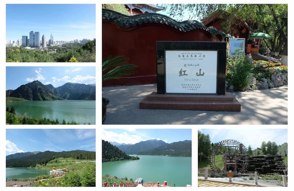
4. Self-Drive & Car Rental — The Freedom Option
This is where Xinjiang rewards the bold. A rental car transforms the region from “places you visit” to “landscapes you move through.” The Duku Highway, the Taklamakan Desert Highway, and the Ili valley loops are all best experienced with your own wheels.
Car Rental Basics (2026)
| Item | Detail |
|---|---|
| Minimum age | 23 years, with 1+ years’ license history |
| License requirement | Chinese license or foreign license + notarized translation (some agencies accept int’l license + translation) |
| Vehicle type | SUV (Toyota RAV4, Honda CR-V clones) ¥400–700/day; 4×4 ¥800–1,200/day |
| Insurance | LDW (collision) ~¥80/day; mandatory third-party included |
| Where to rent | Urumqi Diwopu Airport, Yining Airport, Kashgar Airport; major chains: Shenzhou, Yiwei |
The Border Permit Reality
If your driving plan includes Karakul Lake, Tashkurgan, Baihaba, or Kanas’s frontier zones, you need a Public Security Bureau (PSB) Border Permit (边防证). This is free but bureaucratic:
- Issue it before leaving Urumqi or in Kashgar (hotel concierge can often help).
- List all border counties you intend to visit (e.g., “Taxkorgan County, Habahe County”).
- Without it, you will be turned back at checkpoints—no negotiation, no exception.
Fuel, Checkpoints & Practical Survival
Xinjiang’s fuel stations require ID verification—your passport, presented at the gate, before you can even approach the pump. Some stations also require a Chinese speaker to translate if your passport doesn’t scan properly. Plan fuel stops; don’t roll in on fumes.
Checkpoints (安检) are frequent on highways. They are not optional—you will queue, show passports, and sometimes open trunks. Carry a light jacket; the wait can be 20–40 minutes in summer tourist season. The good news: they keep the region safe, and the officers are (in the author’s experience) polite and efficient.
5. Getting Around Within Cities
Once you’ve arrived in a city, local transport is modern and affordable:
- Didi (ride-hailing): Works in Urumqi, Kashgar, Yining, Karamay. English interface available. Cashless—link Alipay or WeChat Pay.
- Public buses: ¥1–2; useful for short hops but rarely foreigner-friendly in terms of signage.
- Taxis: Metered; insist on the meter. In smaller towns, agree on a price beforehand (~¥10–30 for within-city trips).
- Bike/scooter share: Available in Urumqi and Yining. Requires a Chinese phone number and Alipay.
In Kashgar Old Town, the best way to get around is your own feet. Cars are restricted in the pedestrian core; park outside and walk in.
6. Seasonal Realities — When Roads Open & Close
Xinjiang’s weather dictates transport more than in almost any other destination in China:
| Route / Area | Accessible Months | Winter Status |
|---|---|---|
| Duku Highway (G217) | June 1 – October 10 (approx.) | Closed; snow-blocked |
| Kanas & Hemu | Year-round (winter = ski access only) | Accessible but harsh; guesthouses limited |
| Taklamakan Desert Highway | Year-round | Open; fuel stations operate year-round |
| Kashgar → Tashkurgan | Year-round (weather permitting) | Snow can close the pass temporarily |
| Sayram Lake ring road | May – October | Closed (ice) |
Pro tip: Always check the best time to visit Xinjiang guide before finalizing your transport bookings. A September trip that looks perfect on paper can be ruined by a closed Duku Highway if you arrive October 12.
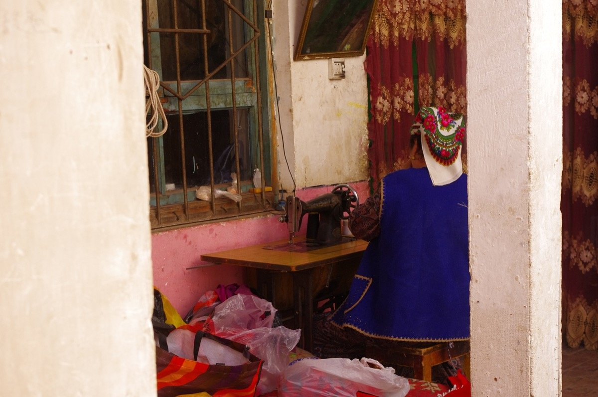 Kashgar Old Town – destination accessible by multiple transport modes” style=”width:100%;max-width:800px;margin:20px 0;”>
7. Sample Multi-Modal Itinerary (10 Days)
To show how this all fits together, here’s a realistic 10-day independent itinerary that mixes transport modes:
| Day | Leg | Transport Mode |
|---|---|---|
| 1 | Arrive Urumqi (flight from Beijing/Shanghai/Europe) | Flight + taxi to hotel |
| 2 | Urumqi → Yining (fly) | Flight (1h 20m); pick up rental car in Yining |
| 3–5 | Ili valley loop: Yining → Zhaosu → Tekes → Nalati | Self-drive (SUV) |
| 6 | Yining → Urumqi (fly); Urumqi → train to Kashgar | Flight + sleeper train (overnight) |
| 7–8 | Kashgar Old Town + day trip to Karakul Lake | Walking + private charter |
| 9 | Kashgar → Urumqi (fly) | Flight |
| 10 | Depart Urumqi | Flight home |
This mix—fly to skip the long slog, self-drive for scenic loops, train for the overnight experience—is how seasoned Xinjiang independents actually travel.
8. Final Practical Checklist
- Passport: Carry it everywhere. You’ll show it at checkpoints, hotels, train stations, and fuel stations. A photocopy isn’t enough.
- Cash: ATMs exist in all cities, but fuel stations and some remote bus stations may require cash or a Chinese payment app. Carry ¥500–1,000 as backup.
- Apps: Download Trip.com (flights/trains), Didi (ride-hailing), and a good offline map (Maps.me works offline in Xinjiang).
- Altitude: If your route includes Karakul Lake (3,600m) or Heavenly Lake (1,980m), acclimatize in Urumqi or Kashgar before ascending.
- Patience: Checkpoints, weather delays, and the region’s sheer scale will test you. The payoff—silent deserts, alpine meadows, and Silk Road soul—is worth every waited minute.
Further reading: Once you’ve figured out how to get around, dive into our self-drive guide, the 14-day ring road itinerary, and the guide on how to get to Xinjiang from outside the region.
This article reflects the author’s independent travel experience across Xinjiang in 2024–2026. Routes, schedules, and prices are updated to the best of our knowledge; confirm critical connections shortly before travel.